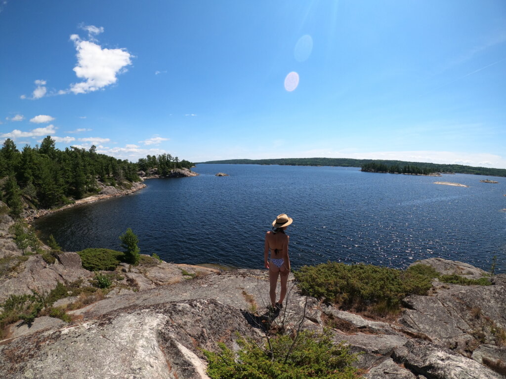
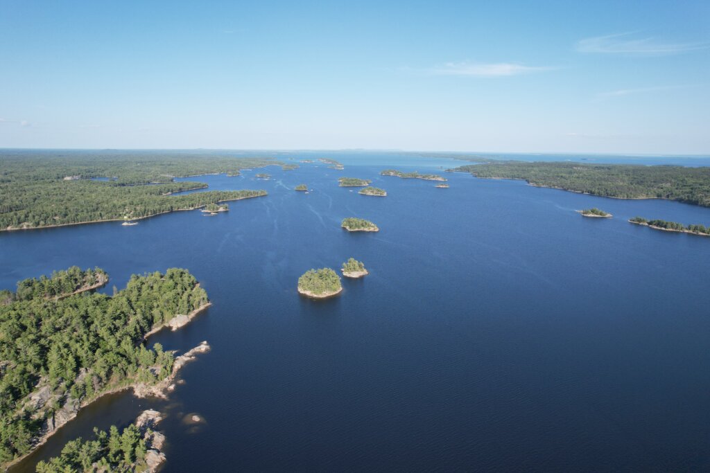
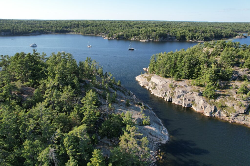
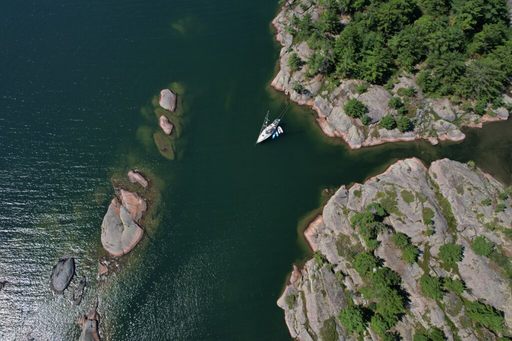
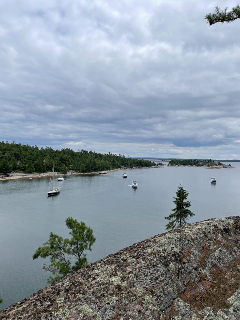
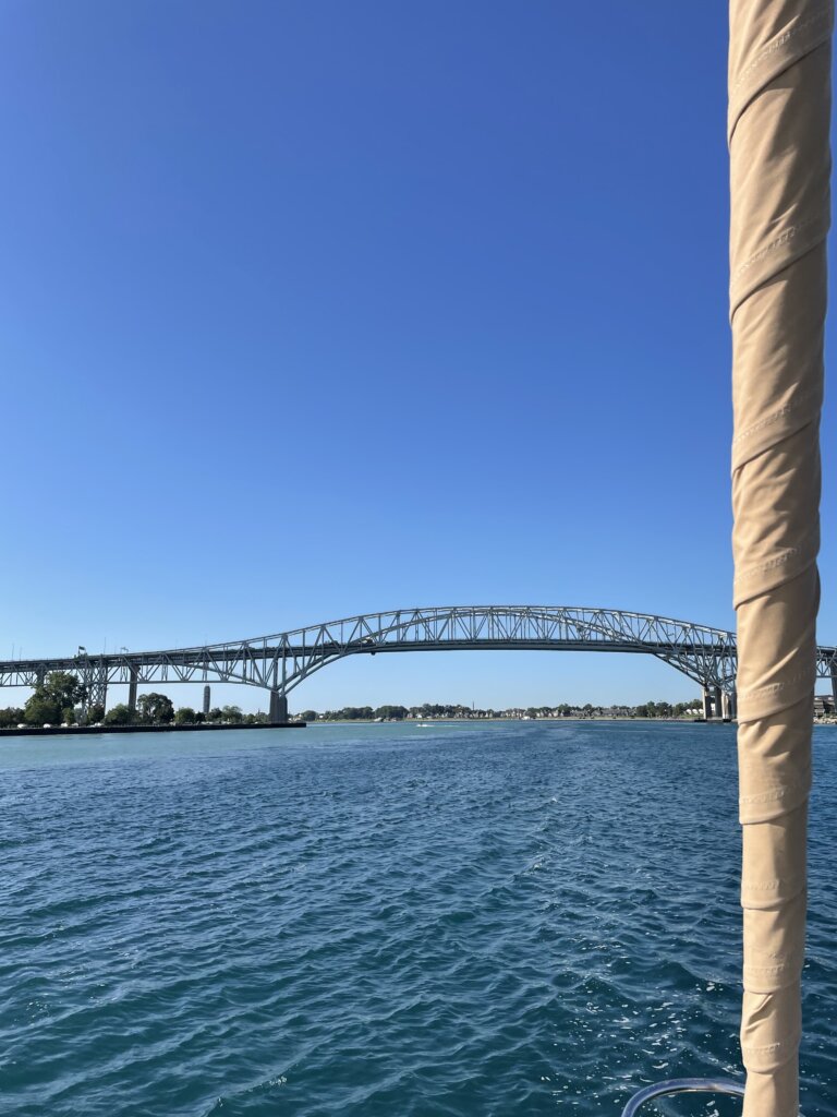
We started September, waking up after our first overnight passage. That morning, we went under the Bluewater Bridge, flying at 9 knots in the current! We anchored in Bassett Channel for the night, needing to find a place to recharge before carrying on. Bassett Channel was our last night in Canada. After about 6 weeks cruising Canadian Waters, we checked back into the U.S. the following day.
We entered Lake St. Clair which is where Ryan grew up power boating. We headed into Metro Beach to anchor for the night. We enjoyed walking along the park in the afternoon. That evening, we were visited by some family friends of Ryan’s- Rich and Sue Zimmer.
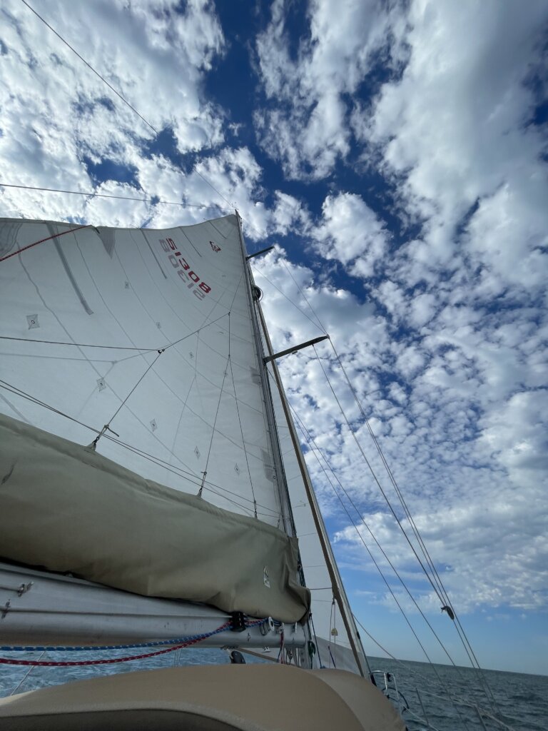
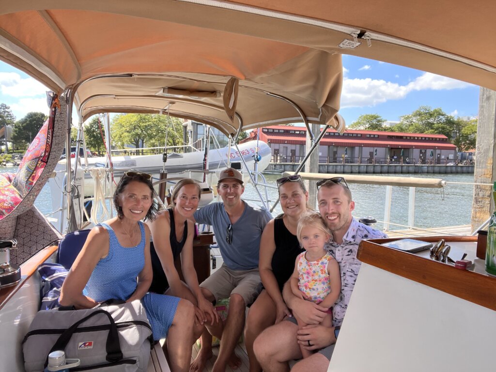
The following day we headed into Detroit where we had a marina slip booked for two nights. We started off with a nice sail and then the wind picked up, gusting up to 25 knots. After tacking back in forth for a while we turned the motor on to head into the river. The wind was coming directly from Detroit and we couldn’t make much forward progress tacking and avoiding the shallow areas around the channel.
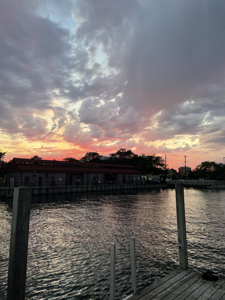
In the Detriot River, we had big, sloppy waves from the wind and boat traffic. We made it into Milliken State Harbor and were thankful to be docked for the day. After chatting with the boat next door we headed to the grocery store to re-supply. Later that evening we visited with family and were brought some more groceries from Costo. On the way back from dinner we got an amazing sunset and a partial rainbow although only a few sprinkles of rain.

The following day we had more family visits and the delivery of our new mainsail from Presision Sails. This was delivered to Ryan’s mom and we had been anxiously awaiting being able to see it! After all the visits were over we settled back in, put everything away, and prepared for our journey into Lake Erie the following morning.
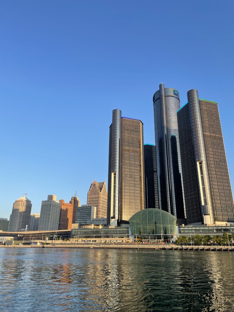
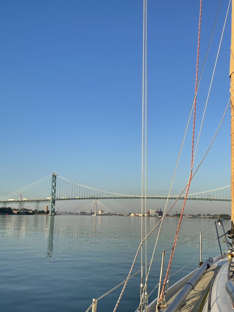
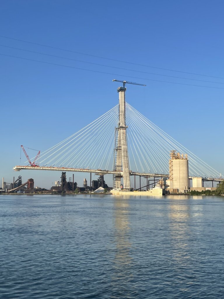
We woke up early and set off just after sunrise. We got great views of the Detroit skyline in the sun and then went under the Ambassador Bridge. After that, we saw the Gordie Howe Bridge which is still under construction. Part of the bridge is built on either side but it is not yet completed in the center.
We anchored at Kelley’s Island for the night before waking up early and continuing across Lake Erie. Our next anchorage was Fairport Harbor. On the way, we got hit with a big storm that blew through. We thankfully were ready, we had two reefs in the main and the staysail only up. The storm brought gusts up to 36 knots and tons of rain! It was over relatively quickly. It stole all of our wind so we were left motoring the rest of the day.
Our next stop, after another long day of sailing, was Erie Pensilvania. This brought us most of the way across the lake. In Erie, we slowed down to catch up on a few things and called the boatyard that was going to be taking our mast down so we could transit the Erie Canal. We also met some fellow cruisers from Muskegon while anchored here. We enjoyed sharing stories and future cruising plans with SV Dauntless.
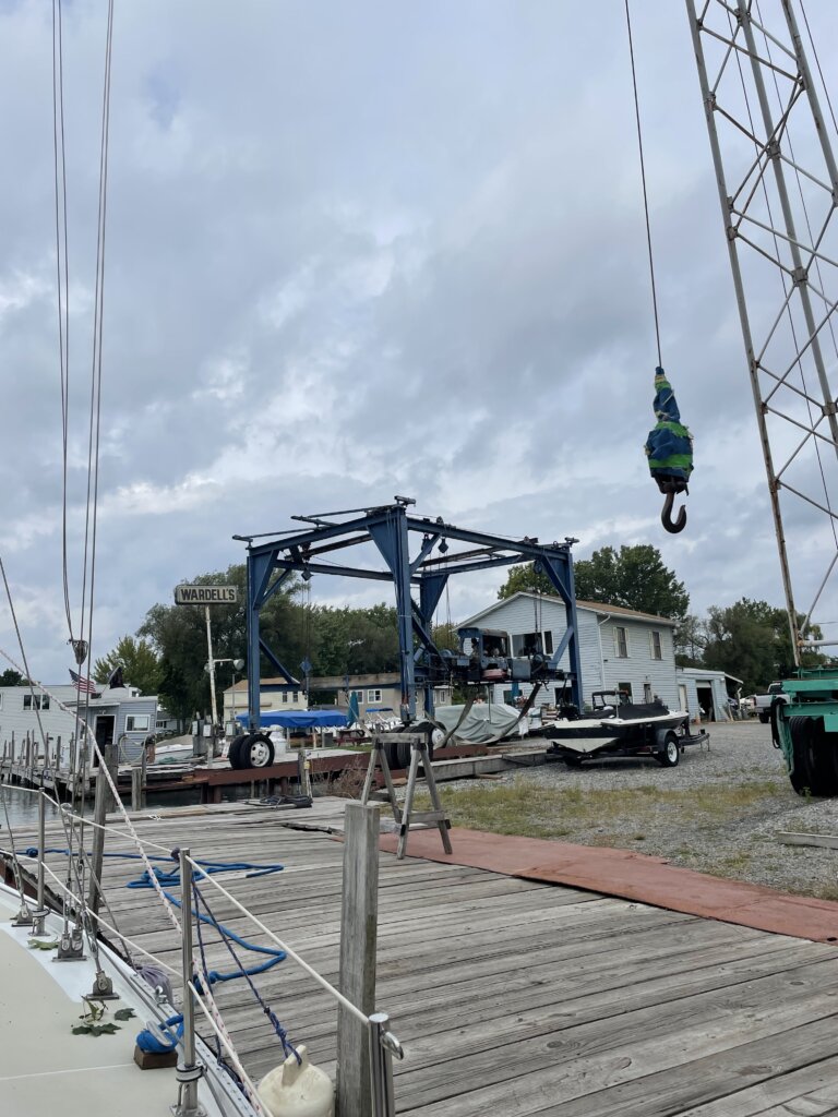
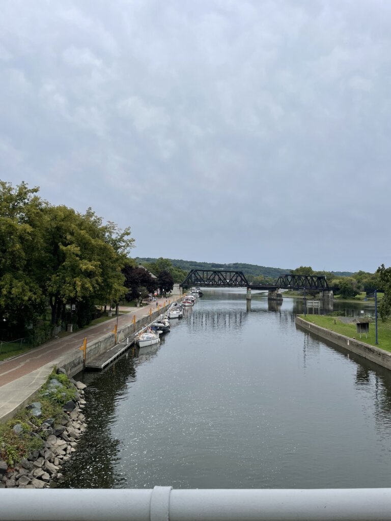
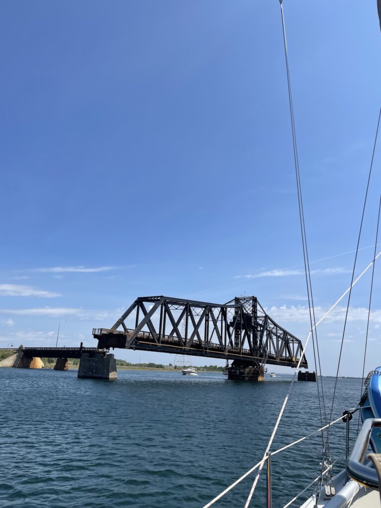
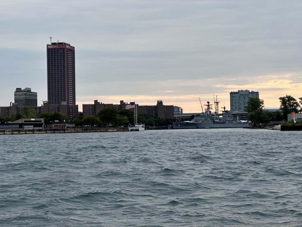
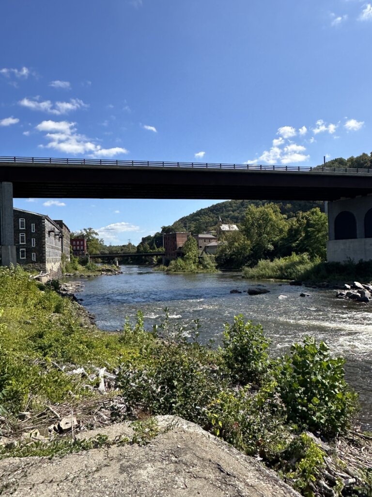
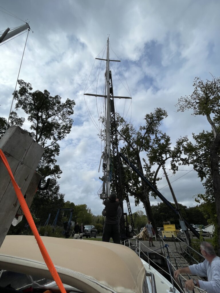
After a few days in Erie, we headed on to Buffalo New York. This was the end of our time in the Great Lakes. The following day we headed down the Black Rock Canal to Tonawanda which is where our mast was taken down.
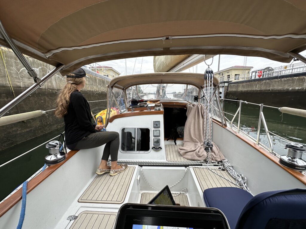
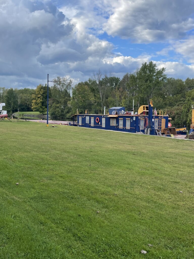
We arrived at Wardell Boatyard in Tonawanda and were told he could take our mast down that day. We quickly got the sails down and the boat ready. After a long afternoon of work, our mast was on the deck and we were prepared to head down the canal. We stocked up on groceries in town and shared a drink with SV Dauntless one last time, for now.
The following morning we left our new cruising friends and headed into the Erie Canal.
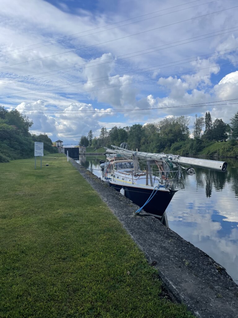
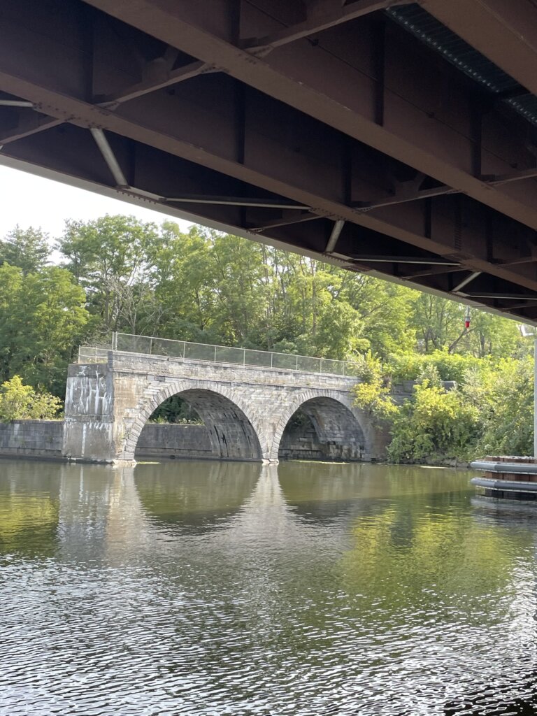
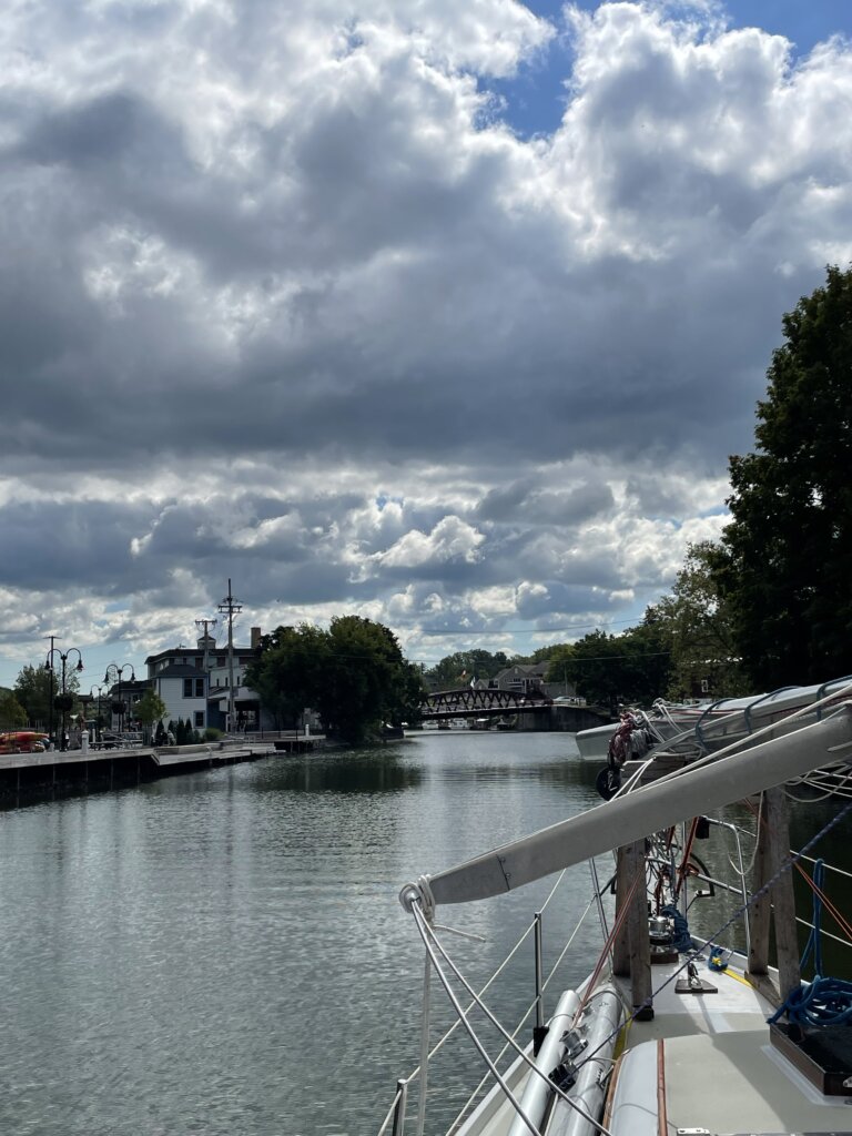
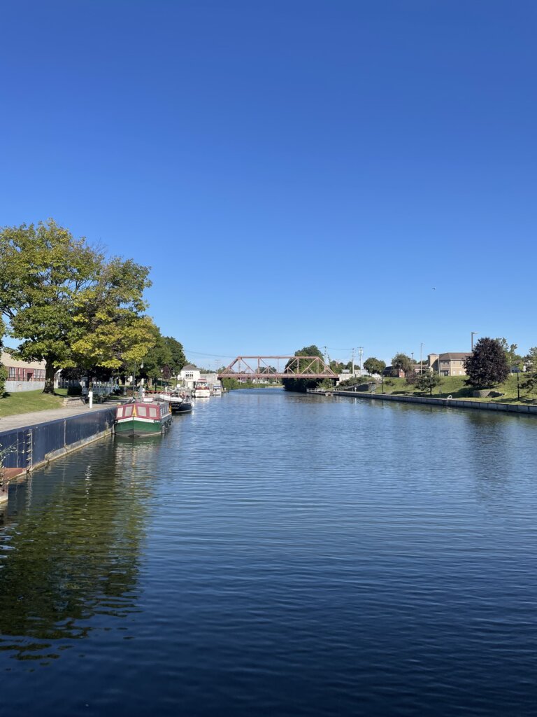
Overall we really enjoyed our time on the canal. Traveling the canal took us 340 miles, through 16 lift bridges and 35 locks. The canal is centered around tourists and pleasure boats transiting so everyone was very welcoming, helpful, and friendly. We stayed most nights for free, often with electric and water hook-ups. For more details on the canal, read our post on- Transiting the Erie Canal by Sailboat.
On the Erie Canal:
Day 1- Tonawanda to Lockport 18 miles, 2 locks
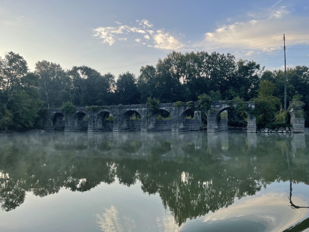
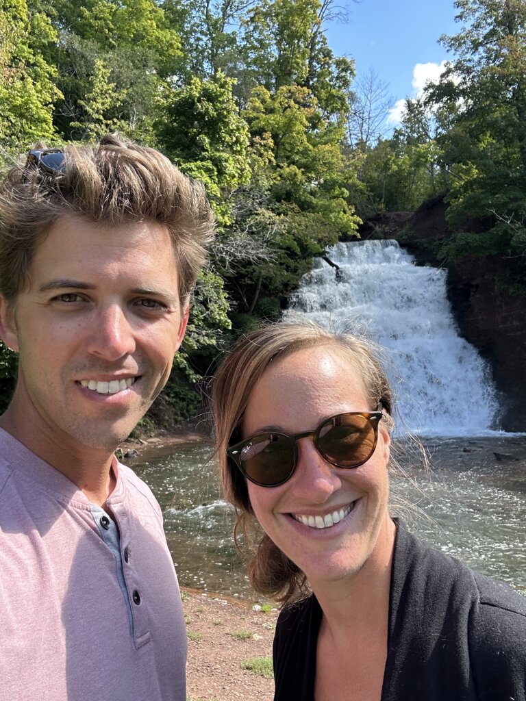
Day 2- Lockport to Spencerport 49.2 miles, 15 lift bridges. We stopped in Holly for lunch and to see the waterfall which was quite impressive.

Day 3- Spencerport to Newark 44.5 miles, 4 locks
Day 4- Fairport to May’sPoint/Lock 25 22.5 miles, 5 locks

Day 5- May’s Point/Lock 25 to Brewerton 53 miles, 2 locks

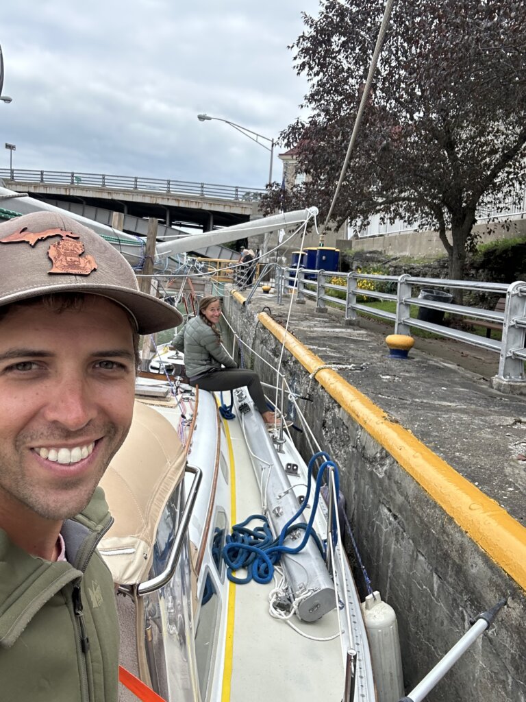
Day 6- Brewerton to Lock 20 45.5 miles, 3 locks
We were trying to stay in Rome for the day and explore the city. We ended up running hard aground and getting stuck in the mud approaching the dock. We had to drop the dinghy in the water and use it to tow Resande off the mud. We got floating again and headed off to find another place to stay the night.
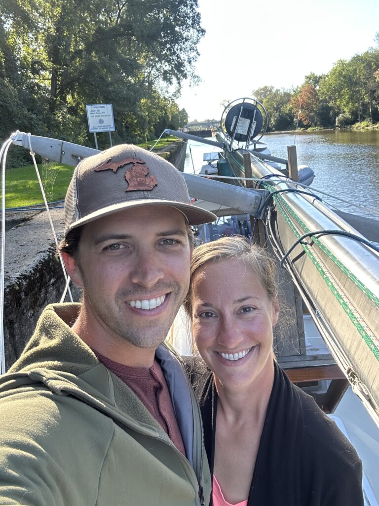
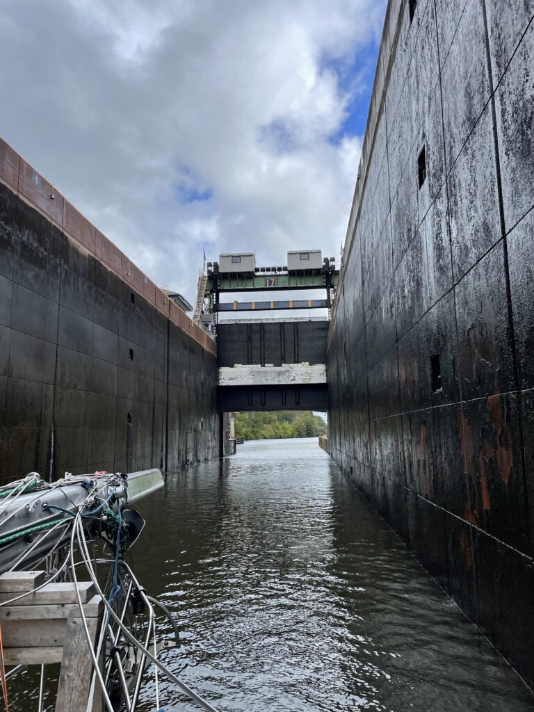
Day 7- Lock 20 to Little Falls/Lock 17 26 miles, 3 locks
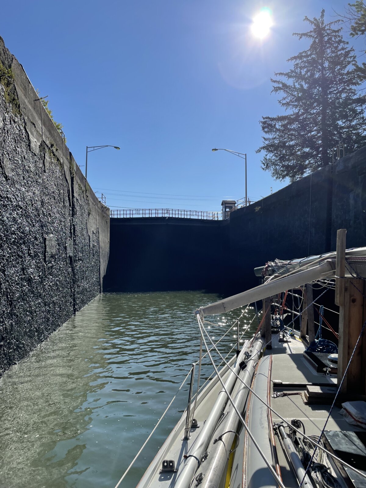
We went through the largest lock on the canal that day. Lock 17 rises/lowers 40.5 ft and the guard gate lifts over the boat as you exit. It is one of only two locks in North America that has this feature. This lock was the tallest lift lock in the world when it was built and is still one of the tallest today.
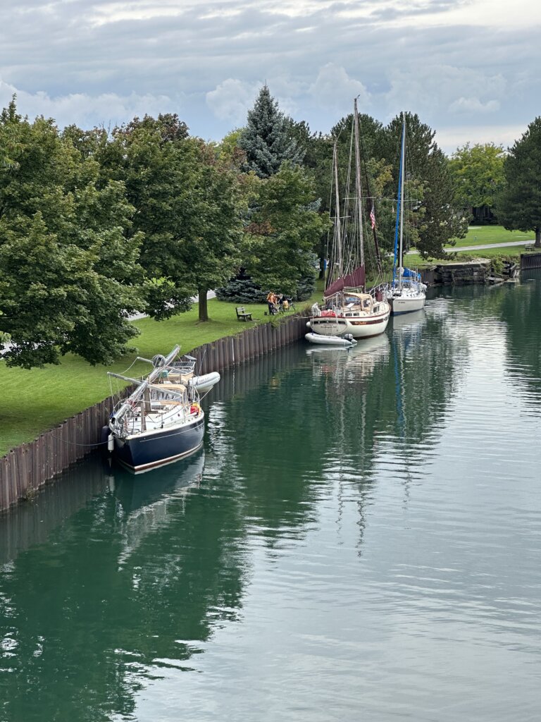
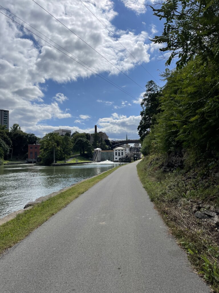
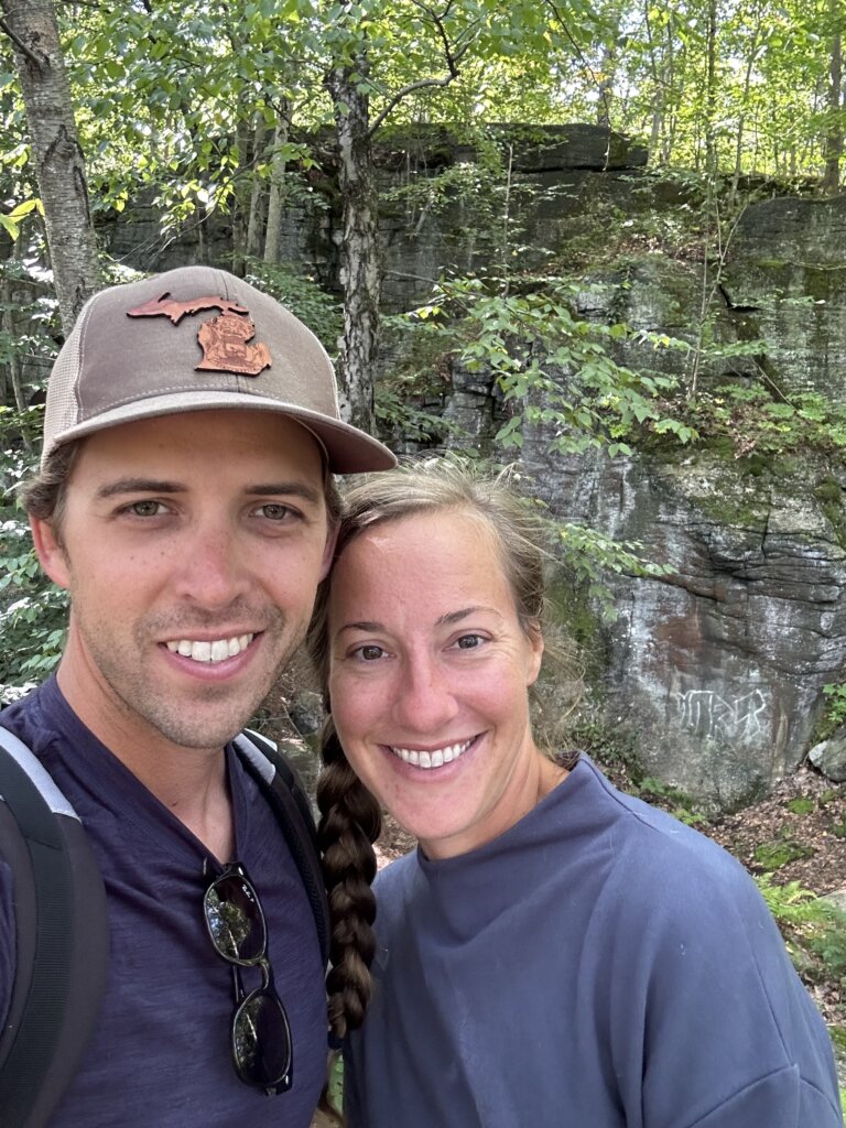
Day 8- Relax and Explore in Little Falls and Moss Island
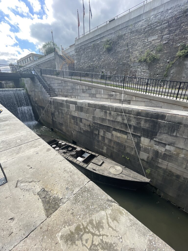
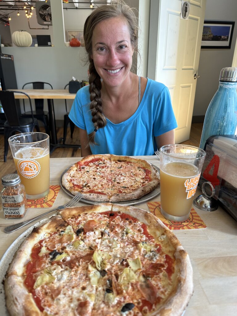
We decided to take a day off and explore more around this small town. There are many historical buildings in town to see. We also enjoyed seeing the falls as we entered town from the lock. After our walk around town, we grabbed some pizza and beer for lunch at Mangia Macrina’s Wood-Fired Pizza.
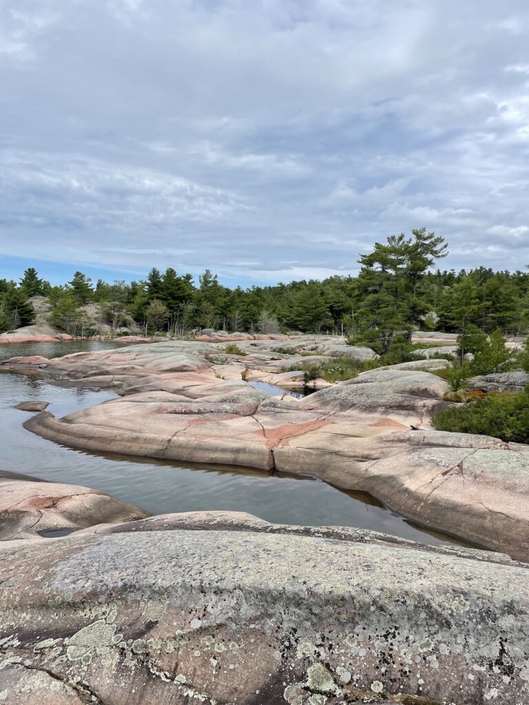
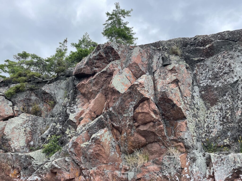
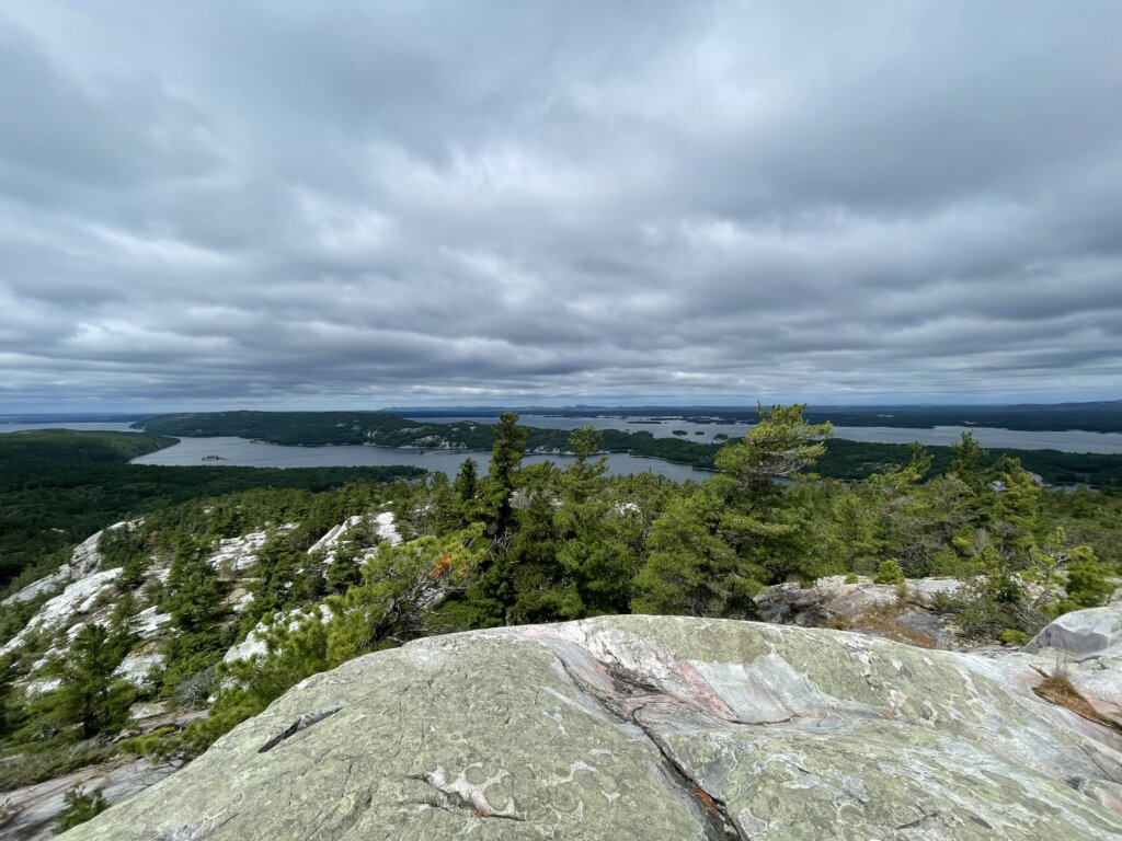
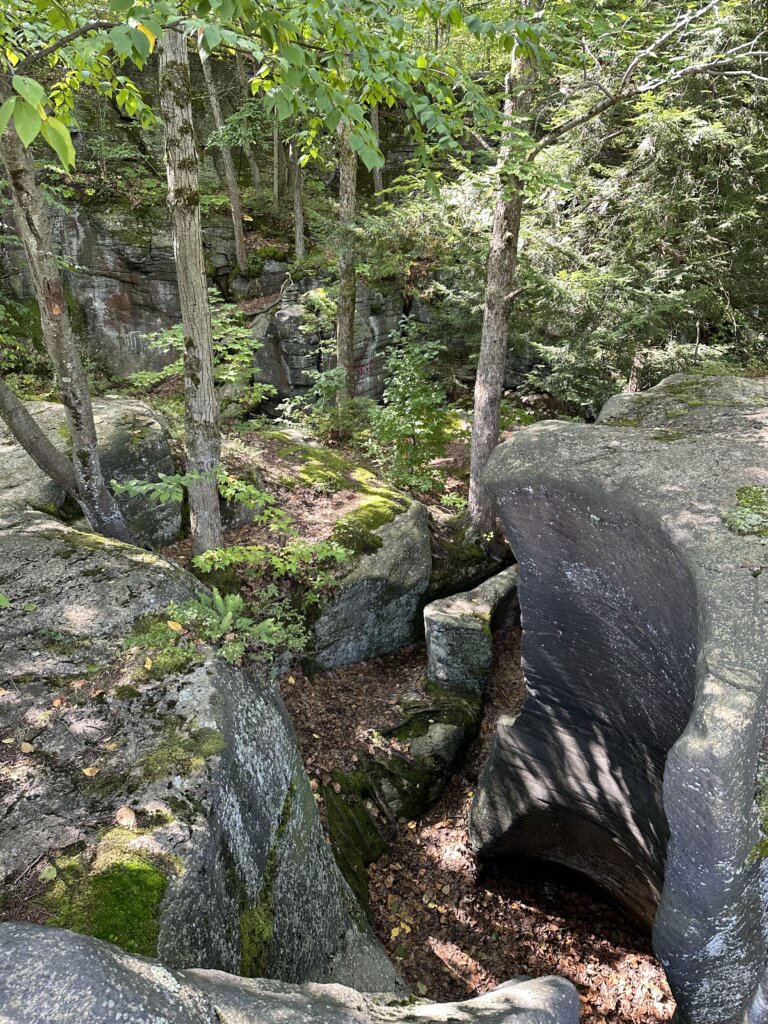
The other highlight for us here was exploring Moss Island. This unique island is known for its large 40-foot-deep potholes (rock formations).
Day 9- Little Falls/Lock 17 to Lock 11, 40 miles, 5 locks
Day 10- Lock E11 to Crescent, 34 miles, 5 locks
Day 11- Crescent to Waterford, 5 locks, and the end of the Erie Canal!
We transited the Waterford Flight on the last day on the canal. This set of locks includes locks 6-2. These locks are known for raising/lowering a boat the greatest amount in the shortest distance in the world- 169 ft in 2 miles! Once we got through the locks we arrived at Waterford where we stayed two nights to relax, clean the boat, and re-provision. This concluded our time on the Erie Canal!
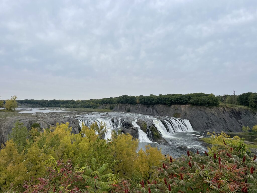
We really enjoyed walking to see Cohoes Falls and walking around Peeble Island State Park while we were in Waterford. Cohoes Falls is the second-largest waterfall in the state of New York.
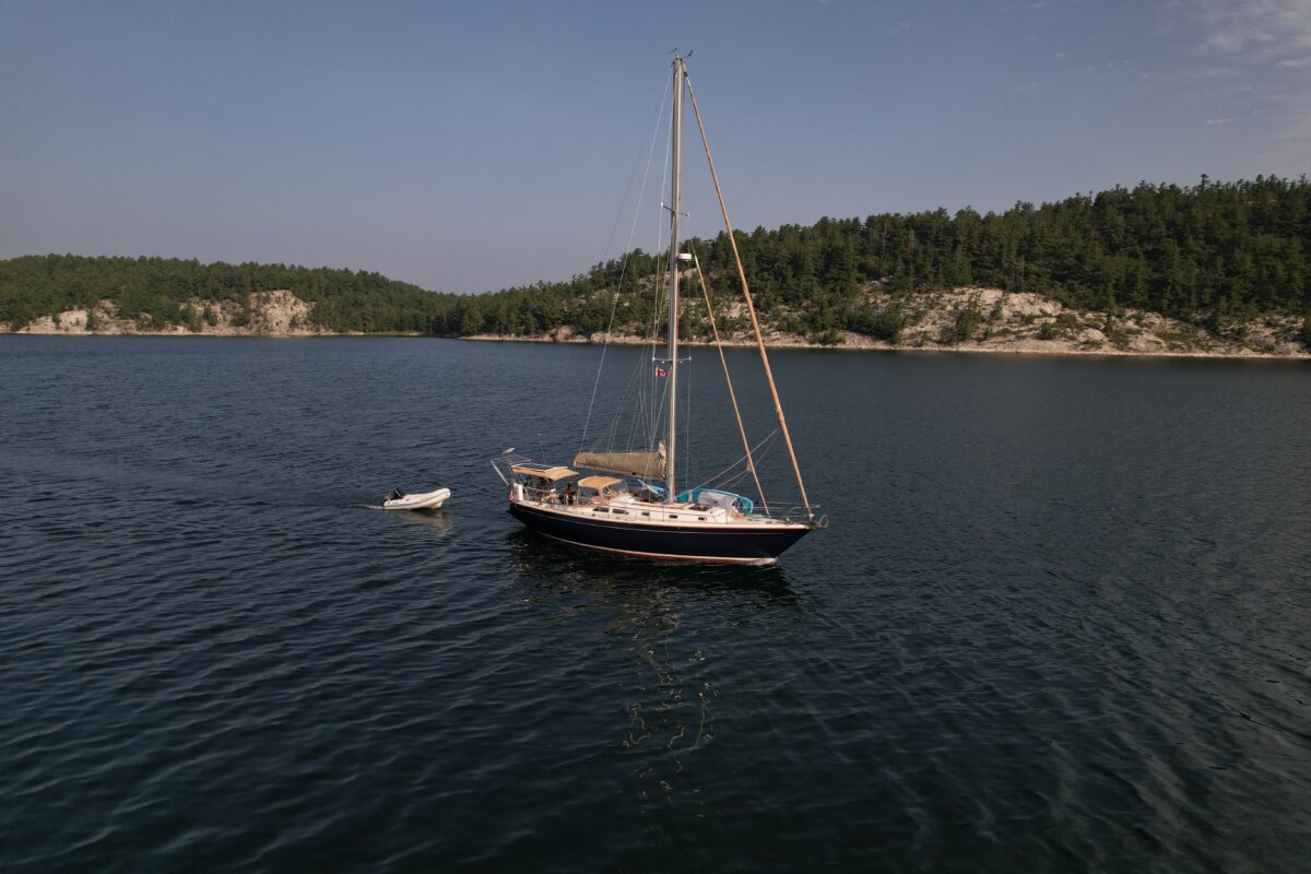
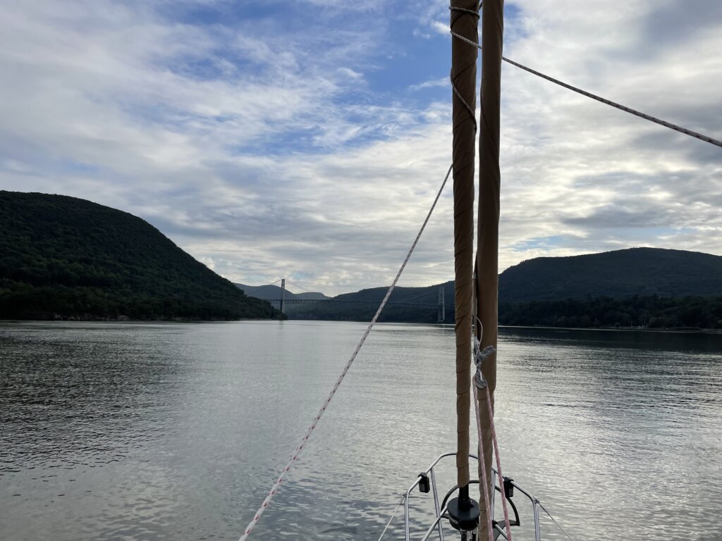
From Waterford, we entered the Hudson River and headed south! At Catskill, we got our mast put back up and the boat re-rigged with all sails back up. It felt really good to get the mast off the deck and get back out on anchor!
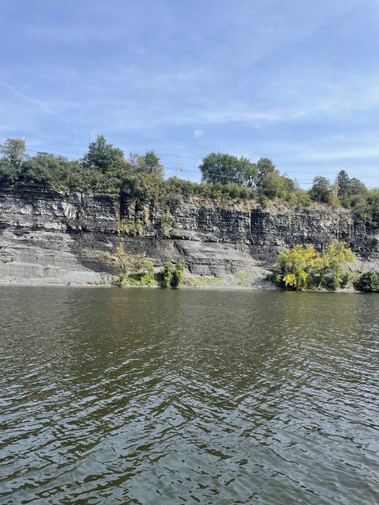
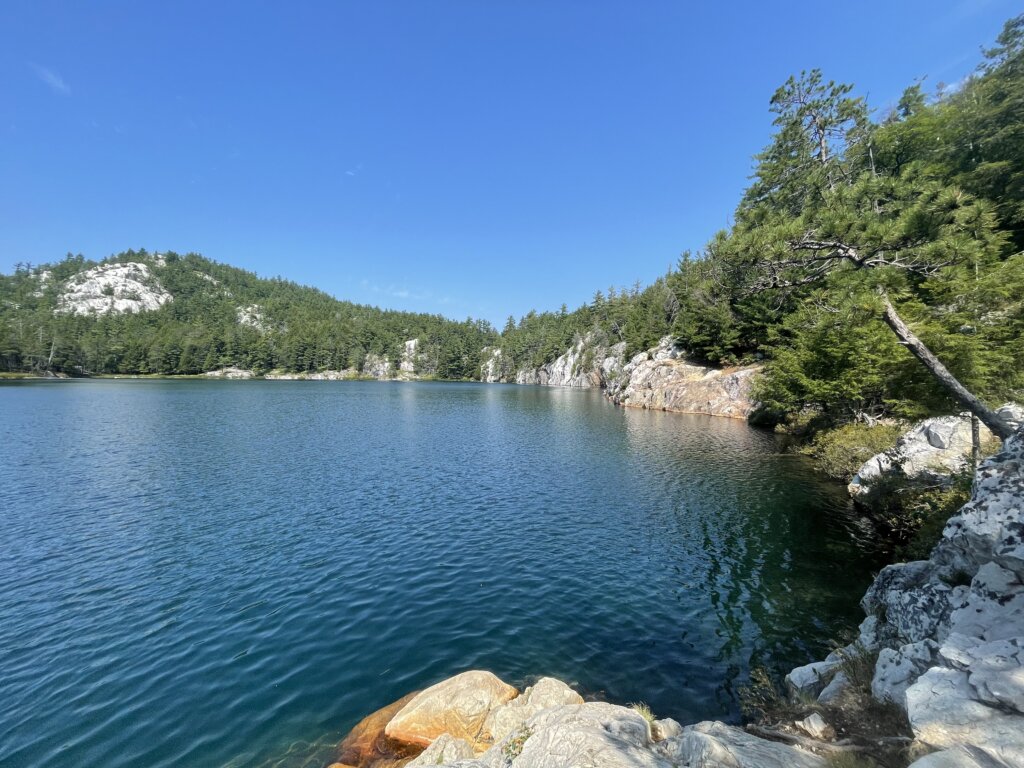
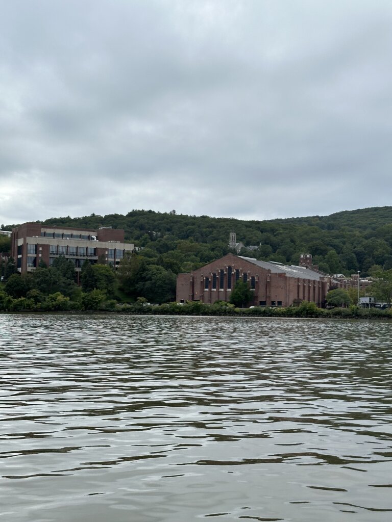
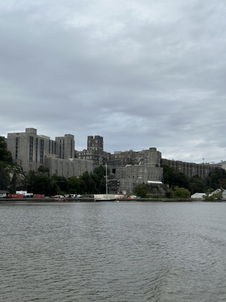
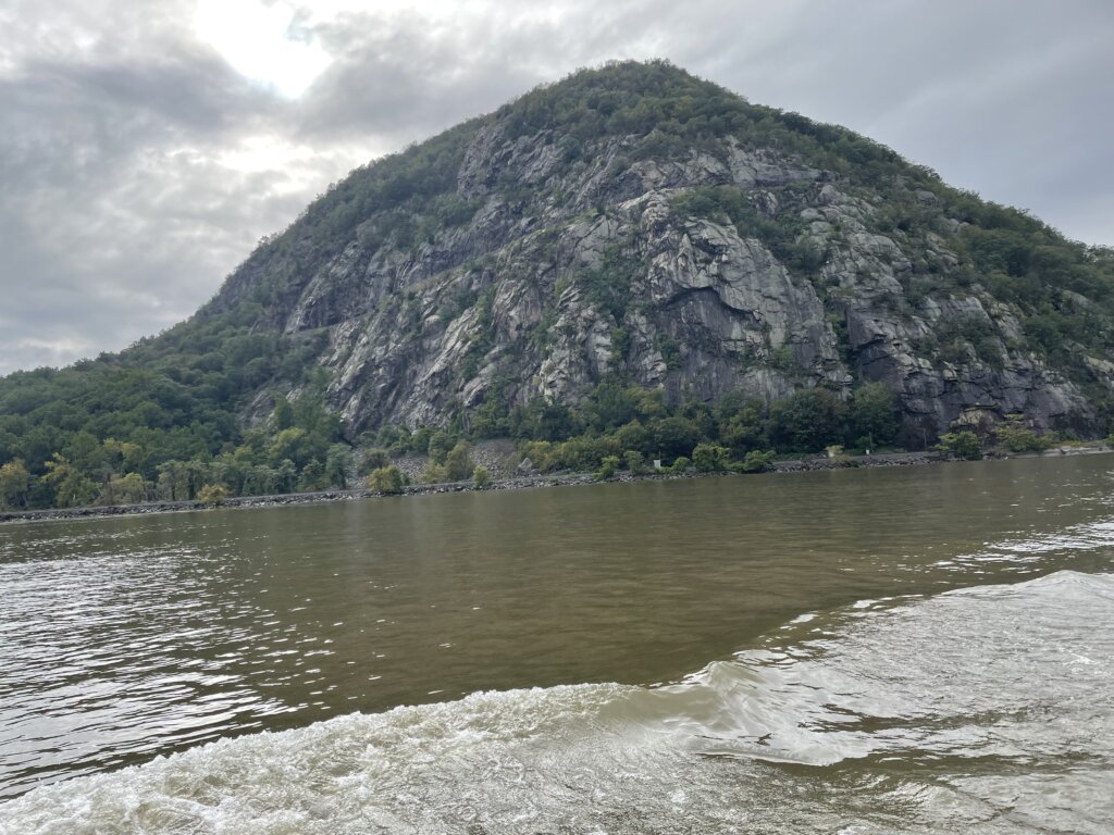
Much of the Hudson is really pretty with rocky hills along the edges. We passed West Point which was very impressive to see from the water.
As we approached Nyack we got caught in a significant rainstorm! New York City saw flooding in the streets and subway with up to 10 inches of rain seen in parts of the city and surrounding area. We had planned to have lunch with a friend but had to postpone until the weather passed. With the rain came a wind that had us rocking and rolling as we were anchored along the river. As the tide and current oppose the wind the waves really stack up. We had possibly the worst night on anchor ever here! There are not well-protected anchorages along the Hudson and even a lot of the small marinas are exposed to the waves so there was nothing to do but wait it out. We slept in the aft cabin where at least it was a little quieter than in the v-berth. On the last day of September, the rain still lingered so we continued to wait it out.
Tomorrow is the first day of October and it is supposed to bring sunshine and more favorable conditions as we head into New York City!
September Cruising Stats & Spending