The Atlantic Intracoastal Waterway extends more than 1,100 miles from Norfolk, VA to Key West, FL. Some lengths consist of natural inlets, salt-water rivers, bays, and sounds; others are man-made canals. Boaters on their journey south may choose to stay inside the ICW the entire trip or go outside into the open ocean. We chose to do a combination as we headed down to Florida where we staged for our jump across to the Bahamas.
Virginia
Mile 0 of the ICW is in Norfolk, VA. We actually anchored in Hampton and woke up early to head across the bay into Norfolk and begin the ICW. Norfolk also has anchorages and marinas, but we didn’t stop in the city at all this trip. The anchorage in Hampton has a free dinghy dock and there is a grocery store within walking distance which is why we chose to stay there.
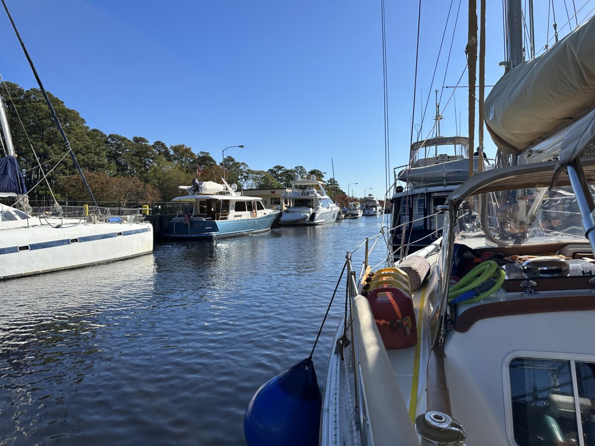
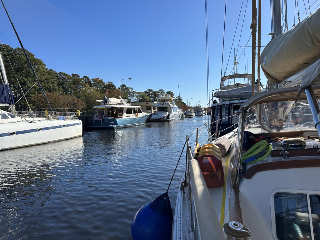
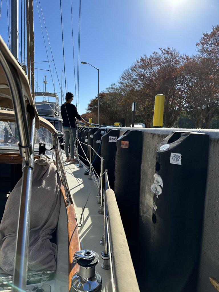
You have two choices heading through Virginia on the ICW- the Dismal Swamp route or the Virginia Cut. We chose the Virginia Cut. We draw 6ft in our sailboat and had heard that the Dismal Swamp can be too shallow in areas. The Virginia Cut does include one lock- The Great Bridge Lock. This lock raises/lowers 2-3 ft with the tide, when we went through it didn’t feel like we moved at all. The lock is quite large and can be very busy. We locked through with 15 other boats. The lock coordinates with a bridge that needs to open right after you’ve locked through. We got lucky and we were the last boat into the lock before it closed. Several boats right behind us had to wait for the next lock opening, meaning keeping the boat still in the canal for about 40 minutes. The lock opens once an hour for about 20 minutes to fill up with boats.
Along this stretch of the ICW, there are not a lot of places to stop and anchor. We ended up doing a very long day to make it to our anchorage at Buck Island. It took us about 12 hours to complete the journey from Hampton to Buck Island. A popular spot to stop before Buck Island is Coinjock Marina. This place was packed when we passed by. Boats were 2-3 deep on the end walls.
North Carolina
The next day we did another long day, we headed through the Aligator River Pungo River Canal and anchored in the Pungo River just past the Canal.
The following day we finally arrived in an actual town where we could get off the boat and explore. We landed in Belhaven, NC. Everyone in this small town was super friendly! The Belhaven Marina charges $5 to fill your water tanks. In town, there is a free town dock. We think you can stay overnight, we saw a couple of sailboats tied up there. We assume this is just first come, first serve. The dinghy dock is free right in town and there’s a place to fill water jerry cans. The grocery store is a bit of a walk but we got picked up on the way back by a kind local in a golf cart. Back at the dinghy dock we were greeted by another local woman and given a welcome packet with a bunch of information and coupons for the local ice cream shop. The town is very small but so welcoming to cruisers, we loved it! The anchorage is just in front of the marina and town, a short dinghy ride in.
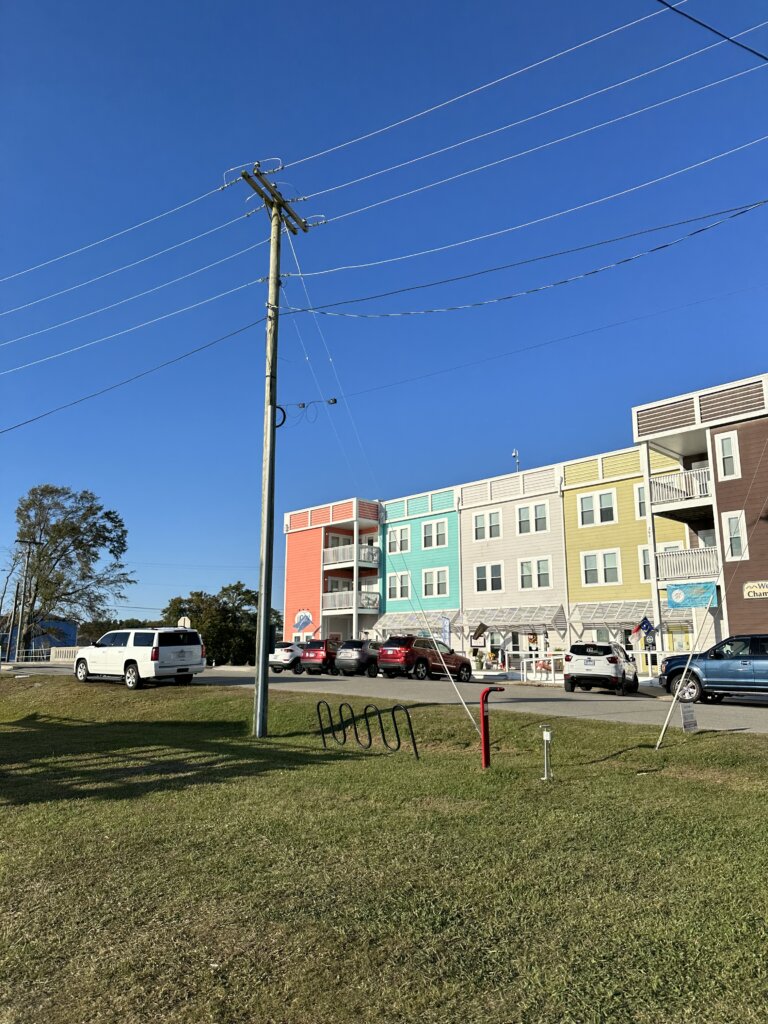
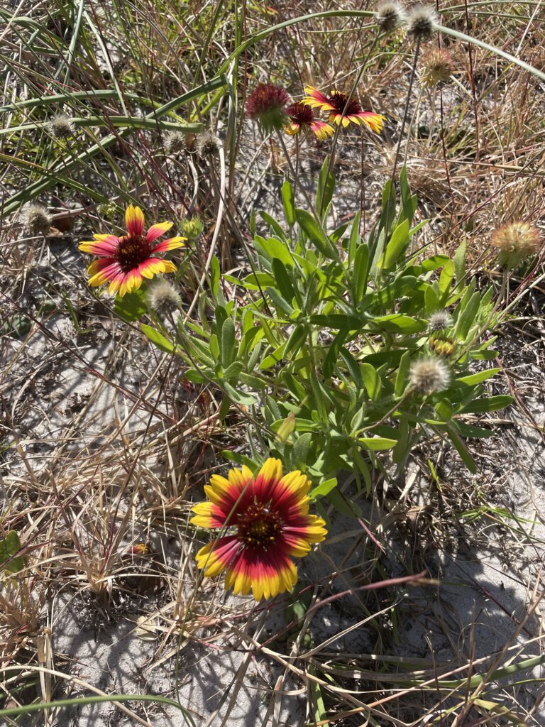
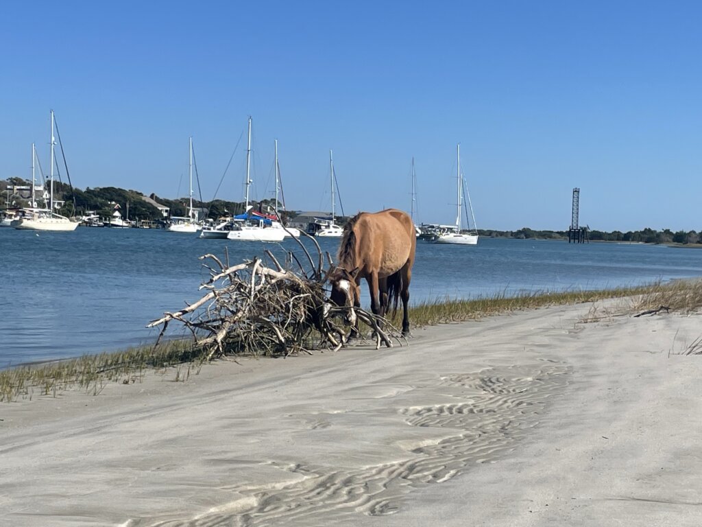
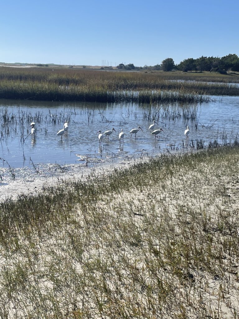
Our next stop was Beaufort NC. This is a popular stop and can be a busy anchorage. It was pretty packed when we arrived but we managed to find a spot. The anchorage is in between the town and the Rachel Carson Reserve. You can see the wild horses of the Rachel Carson Reserve roaming the beach. The Reserve has a nice beach and a couple of trails for hiking/walking. We really enjoyed visiting, it is completely free to visit. The town itself is really quaint and nice to walk around. The Maritime Museum is free and well worth a visit. There is much information about the area, fishing, boat building, surfing, and the history of Blackbeard and pirates along the coast. We also walked through the Old Burying Ground which is beautiful to walk through. You will see old tombstones, some dating back to the 18th century. At the entrance, you can pick up a guide which will provide additional information about some of the specific graves on the grounds.

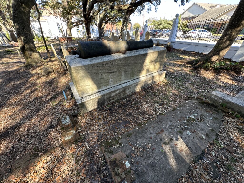
The current in this anchorage is quite strong. We were in Beaufort for several days, waiting out a pretty big blow. With how crowded the anchorage was several boats ended up pretty close together with the current and wind. The monohulls were more affected by the current and would swing at a much different rate than the catamarans. Several boats around us were on deck with the engines on, pushing off each other for a few hours during the afternoon. We were spaced well with our neighbors and had no issues but it is something to be aware of.

From Beaufort NC many people chose to jump outside to Wrightsville Beach. We were going to do this passage outside but the weather wasn’t cooperating and we were on a schedule to meet up with some friends. Given this, we headed off inside, along the ICW. Our next anchorage was at Mile Hammock Bay which is near Camp Lejune. There can be lots of military activity here, the military owns the land around the anchorage and you are not allowed on shore here. The ICW can at times be closed if they are doing active shooting practice. We did not encounter this. Along the way, you will see signs on the ICW that say, when flashing you cannot go through and must anchor until active shooting practice is completed. We tried to look online for a schedule before we left for the day but didn’t find anything that would tell you ahead of time if they were planning on shooting practice that day. Other than helicopters circling overhead in the evening we had a quiet night in the anchorage.

Our next stop was Carolina Beach. You can anchor here but we chose to pick up a mooring ball. There is a large mooring field with well-maintained mooring balls, $30 a night. You need to reserve on dockwa. There are no marina amenities included with this mooring field. We were visiting friends in the area so it was nice to know the boat was safe while we were gone. From the mooring field, you can dinghy to the kayak and dinghy dock and tie up for free. A very short walk from the dinghy dock you will find Northend Minimart Cafe which has really good breakfast burritos!

From Carolina Beach, we chose to jump outside in the ocean for an overnight passage to Charleston. We exited at the Cape Fear which is a wide channel, easy to navigate. Charleston is also a Class A inlet which was easy to navigate the following morning.

South Carolina
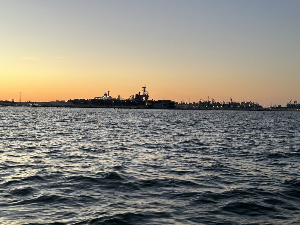
Charleston is a place we have visited before but never by boat. We love the city however the anchorages were very rolly. One anchorage is fouled and per reviews on everything we read the local divers are out nearly every day recovering anchors. We anchored away from the fouled area, further out into the bay. There is a free dinghy dock on the south side of town, it is in the marina so we felt super safe leaving the dinghy there all day. The anchorage near the Yorktown ship, on the north side of town also has a dinghy dock but that one has a $5 charge per day. We were told by some friends who anchored over there that it is also rolly but maybe a bit better than on the south side of town.

The other issue we had with Charleston’s anchorages was that there were a lot of derelict boats. Most of them are congregated together away from where most cruising boats anchor but we did have one that was next to us. While it wasn’t an issue while we were there we didn’t feel this anchorage was somewhere we would want to be in bad weather. With some stronger winds forecast we decided to continue down the ICW and find a calmer anchorage vs wait in Charleston for a weather window to head south out in the ocean.

An important note is that the tides and currents get progressively larger from here on out, until they peak in Georgia. When continuing down the ICW you want to leave Charleston with the current going in the direction you are going. You will go through Elliott Cut not long after leaving town and the current can move very quickly through this cut.
In this stretch, we did a couple of shorter days. Not moving too far we anchored at Church Creek for the night which is just off the ICW. It was very calm and quiet which is exactly what we were looking for!

The following day we headed to South Fenwick Island. With the tides being larger we factored that into when we left as we wanted to get to Watts Cut at high tide. We made it through without any issues but the water can be shallow in this cut. (we draw 6 ft)
There are a couple of anchorages near South Fenwick Island. It is very pretty back in this section of the ICW. On South Fenwick Island there is a free dock and from there you can walk the island trails. Bring bug spray, we encountered a lot of mosquitos! The Island has a lot of history which you can read about as you walk the trails. It belonged to a freed slave and his family for a time. The trails are nice and we were the only ones there when we visited. A must-do when anchored here is to go to B and B Seafood. This is not a restaurant, they are a seafood company that sells their freshly caught shrimp. They had several types of fish, oysters, and lobster as well but the main attraction here is the shrimp! The place is no frills, just seems to be lost in time. The people are super friendly and you can’t beat the price at $8 lb.


Our next stop was Beaufort SC. In this section of the ICW, we navigated through the Ashepoo Coosaw Cutoff, and again we planned to go through at high tide. We had no issues and made it to Beaufort where we anchored just behind the mooring field. In Beaufort, there is a free dinghy dock right in town. There is a grocery store but it is about 2 miles away. We loaded up and took an Uber back to the boat. We really enjoyed wandering the neighborhoods close to town. There are several historical homes and many, many antebellum homes to admire. We also were excited to walk part of the Spanish Moss trail. The trail is nice, paved, and wide so there is plenty of room for walkers and bikers. We were expecting it to be prettier but it was still nice to walk. The prettiest parts of town, with trees that are dripping with Spanish Moss are found just walking around the neighborhoods. There are also several old churches which are pretty to see around town. We enjoyed our time in town even though the weather wasn’t great.


Georgia
Again, from Beaufort, we were hoping to be able to jump outside but the weather was still not in our favor and wasn’t going to be for some time. So down the ICW we continued. In Georgia the tide peaks at 9 feet and with a strong current. This means most boats can get through but you may need to plan transit at high tide. We anchored near Thunderbolt Ga in Skidaway River. And the following night in Crescent Creek then at North Lanier Island our third night. All of these anchorages were calm, even in winds gusting into the 20s. There wasn’t much on land around these anchorages, they were just places to sleep before continuing on the following day. The sounds that you pass in Georgia will be choppy in higher winds but we transited past with winds gusting to 25 and found it manageable.
After several days of bad weather we made it to the end of Georgia. We anchored at Cumberland Island. Cumberland Island is part of the National Park Service. There is a dinghy dock and signs posted on the dock instructing boaters on how to pay. The fee is $15 a person and then your pass is good for a week. The signs say to keep to email receipt on your phone in case a ranger asks, we were never stopped or asked while we visited.


The island has beautiful hiking trails, beaches, and ruins of an old manor owned by the Carnegie family (the Dungeness Ruins). We saw several armadillos, turkeys, and many deer (including two albino ones). There are wild horses on the island as well but we only saw one on the beach as we were leaving the anchorage. The island was a highlight of the ICW for us and we definitely recommend visiting!


Florida
From Cumberland Island we headed across the St Mary’s inlet to Fernandina Beach Fl where we spent a few days. The dinghy dock at the marina does charge $5 a day however nobody checked and this was not enforced at all while we visited. The town is nice to walk around with plenty of good restaurants and lots of small shops. The beach is just over 2 miles but the walk was nice. There are several grocery stores but they are a couple miles away. The current in the anchorage here is quite strong. On a day when the wind picked up we had some issues with boats moving too close once the current switched. It is a busy anchorage but give yourself plenty of space if you can.
Finally, we were getting some nice weather so we could jump out into the ocean. From Fernandina Beach, we headed a short way through the ICW and went out the Jacksonville inlet. We then headed down the coast to St Augustine. Both these inlets were easy to navigate. St Augustine inlet does have shifting shoals, the bouys are moved around frequently. We found Aqua Maps and Navionics sonar charts were super accurate when we went through. The marina here does charge for use of the dinghy dock near the old town. The fee is $12.50 a day but that does get you a bathroom card for access to their showers and laundry. There are many beautiful buildings in town and the old fort is cool to walk around. It was quite busy and filled with tourists when we visited. As we wandered through town we saw a long line of people waiting outside Pizza Time which serves Brooklyn-style pizza by the slice. We gave it a try and it didn’t disappoint! After lunch, we headed to Verano Beach, where the dinghy dock is free. There is a grocery and liquor store a close walk and the beach was quite nice.


Our next outside jump was from St Augustine to the Ponce Inlet. We anchored just inside the inlet. The inlet was easy to navigate. There is a jetty and on that side of the channel we had plenty of water to navigate in. It looked like a nice area but we only stayed the night and kept moving the following day. From there we stayed in the ICW to Titusville. There is a good anchorage in Titusville however we did chose to stay in a marina here for several nights. We got a pretty good weekly rate and we hadn’t been to a marina in two months. We took advantage being at a dock and did a re-set, washing the boat inside and out, doing several projects and visiting with family. We had hoped to stay at the municipal marina however their slips were full. We ended up at Kennedy Point Yacht Club. The marina was okay. We would recommend double checking the math before paying as we were quoted a few different prices that were higher than they should have been. The owner was nice about it and willing to run the math with us on the phone. The price we actually paid was about $80 cheaper than what he originally told us. The marina is full of boats that look to have been there for a while and has an active live-aboard community. Everyone was very kind. We didn’t encounter any other transient boats while we were there. They have laundry and a mail room so it was a good place to send packages. It has everything needed except a fuel dock.
After 5 nights at the dock we were ready to head south. We left the marina and made it to Lebasso Bridge where we anchored for the night. The anchorage was right past the bridge but nicely tucked back from the ICW channel. Its a good spot to sleep and then continue on the following day. Our next stop was Fort Pierce. We anchored near the inlet. There is plenty of space on either side of the channel. The water here actually is much clearer and something we felt you could swim in. This was the first time since leaving the Great Lakes that we saw clean looking water in our anchorage!
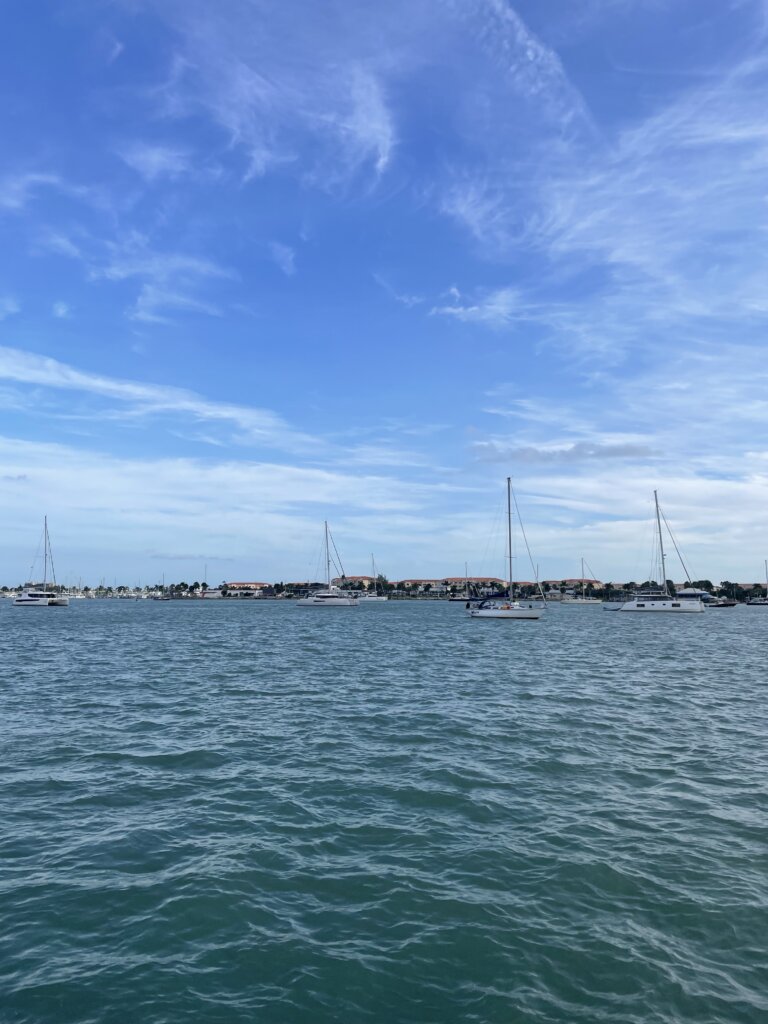
From there we jumped outside to West Palm Beach which was going to be our final stop in the U.S before crossing to the Bahamas. West Palm is a popular staging point for the Bahamas and the anchorages were busy but we found space without any issues. We could actually see the bottom here when we dropped the anchor the water is so clear! Peanut Island, near the anchorages is beautiful and in town you can find everything you need.
The town dinghy dock is free but is located on the south side of the lift bridge. We anchored closer to Peanut Island so it was a longer dinghy ride for us into town. You can anchor right near the town docks. That anchorage looked nice and less crowded.
If you are looking for diesel fuel, Pickle Rick’s Fuel Barge is a great way to go! They typically hang out south of Peanut Island. You can hail them on VHF 71 to find out their location or just head over. They are also on AIS.
After several weeks of no weather window to cross to the Bahamas we decided to continue south. First we went about 10 miles south the Lantana. The town down here is nice and the anchorage is very close to the town dock which is nice. Groceries are a short walk away as is aWest Marine if needed. The beach here isn’t very big so plan to go at low tide if you want to have a beach day.
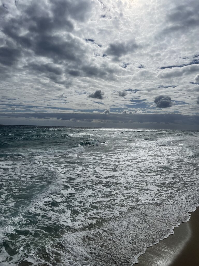
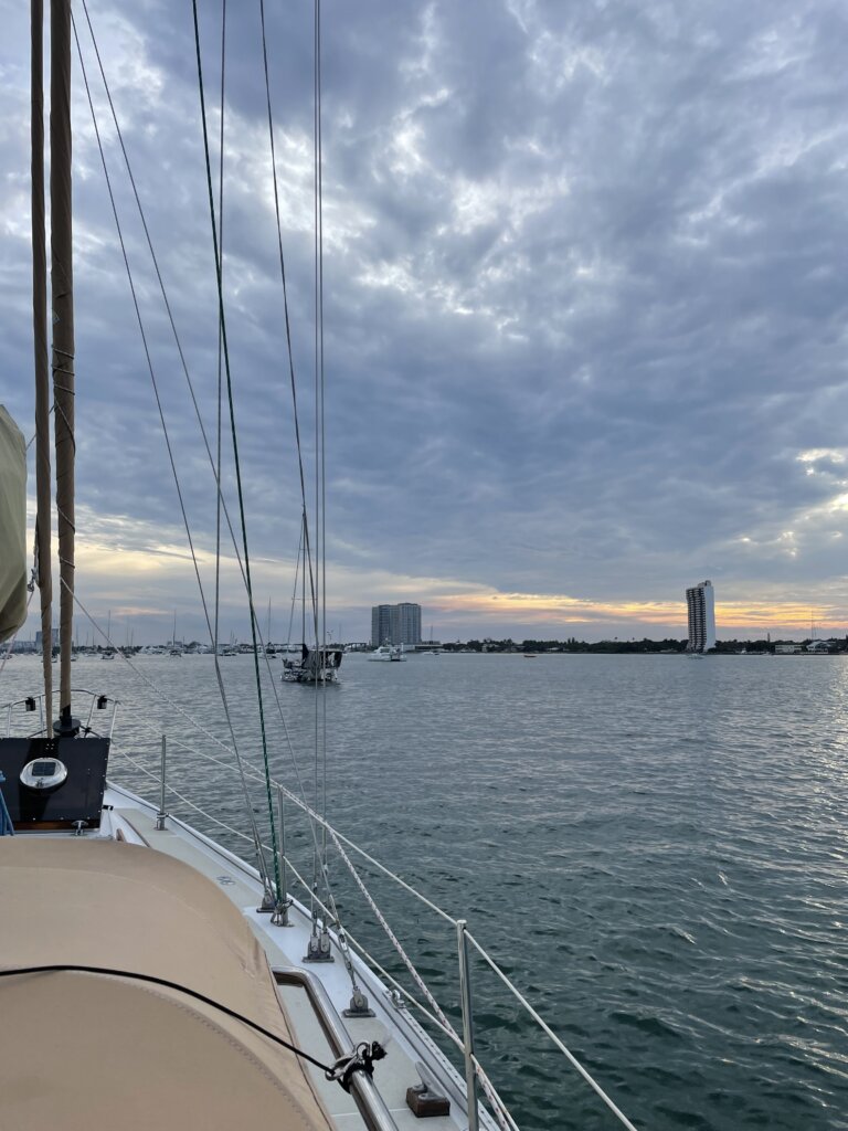
From there, we took the inside route to Fort Lauderdale. There are a ton of bridges in that stretch! It is doable but be prepared for lots of waiting around. Its possible to time most of them well as some are every hour and half hour and others are on the quarter and three quarter hour. Our recommendation would definitely be to go on the outside after West Palm if you have the weather window to do so. The main anchorage in Fort Lauderdale, Lake Sylvia has space for quite a few boats. It was very crowded when we arrived but we thankfully managed to squeeze in.

General Tips for the ICW
Everyone said to follow Bob’s Tracks and keep up with the Facebook Group. We did not do this at all. We had a Waterway Guide Book and used their website to see depths for specific shallow areas we were concerned about. The Website was super helpful, more so than the book. We both agree we could have easily done this without buying the book.
The current changes as you move between inlets. This makes it tricky to plan how long it will take you to get to your destination. It will be with you until you get about halfway towards an inlet then it will switch and be against you. We always left with current helping us and then you get what you get as the day goes on and you move along.
Most bridges that need to open do so on the hour and half hour but we encouraged a couple that only opened at the top of the hour or at the bottom of the hour. Waiting for a bridge opening can be tricky in the current so try to time them as best you can.
People use the radio often especially to hail other boats for a “slow pass”. Sometimes we found this unnecessary if there was plenty of room for them to pass but it is always appreciated that boats slow down when passing. There are some narrow parts when it is nice to know ahead of time what side another boat is going to pass on.
It is difficult to sail most of the ICW, even in the sounds that are larger bodies of water it is often very shallow if you stray outside of the channel. Be prepared to motor or motor sail if your staying inside.
It is a long journy. We were both feeling a bit burnt out by the time we reached Florida. Alot of that was due to bad weather we encountered but still it is a long way to travel. Take your time in the places you want or the unexpected places you find and love.
Take time to talk to other cruisers. You will see the same boats over and over again along the way and it is nice to chat and compare notes with other people traveling as you are.
