
Before we headed out of the Great Lakes with Resande we wanted to explore as much as we could. Lake Superior sparked our interest as we have always found it beautiful when we have traveled there in the past.
We became curious about the Canadian coast since we had already traveled much of the U.S., Michigan’s upper peninsula coast via car/camper trailer. We quickly found that there are not a lot of cruisers who travel this coast so information was sparse. We kept reading that Bonnie Dahl’s book The Superior Way is a must. But then we found it is out of print and very expensive to purchase. We continued looking online for any information and did find a very helpful post on a cruisers forum- Lake Superior cruising advice. With this and some old Great Lakes Cruising Club information we copied from a binder in our marina library before leaving the dock, we set off.
After heading up the St Mary’s River we spent one night in the marina on the U.S. side of Sault St Marie. The next morning we checked into Canada and went through the Soo locks on the Canadian side of Sault St Marie. From there our first stop was in Batchawana Bay. We made it up the coast all the way to Otter Cove before turning around and heading back south.
Batchawana Bay
This is most likely going to be your first stop unless you plan an overnight sail to an anchorage further up the coast. This is a large bay with plenty of places to anchor. We found it to be good, sand holding. It is very well protected from anything but an east wind. There are some buildings along the bay, we didn’t dinghy to shore here so not sure exactly what there is available. It’s a nice stop after getting up the river and through the lock.
Harmony Beach
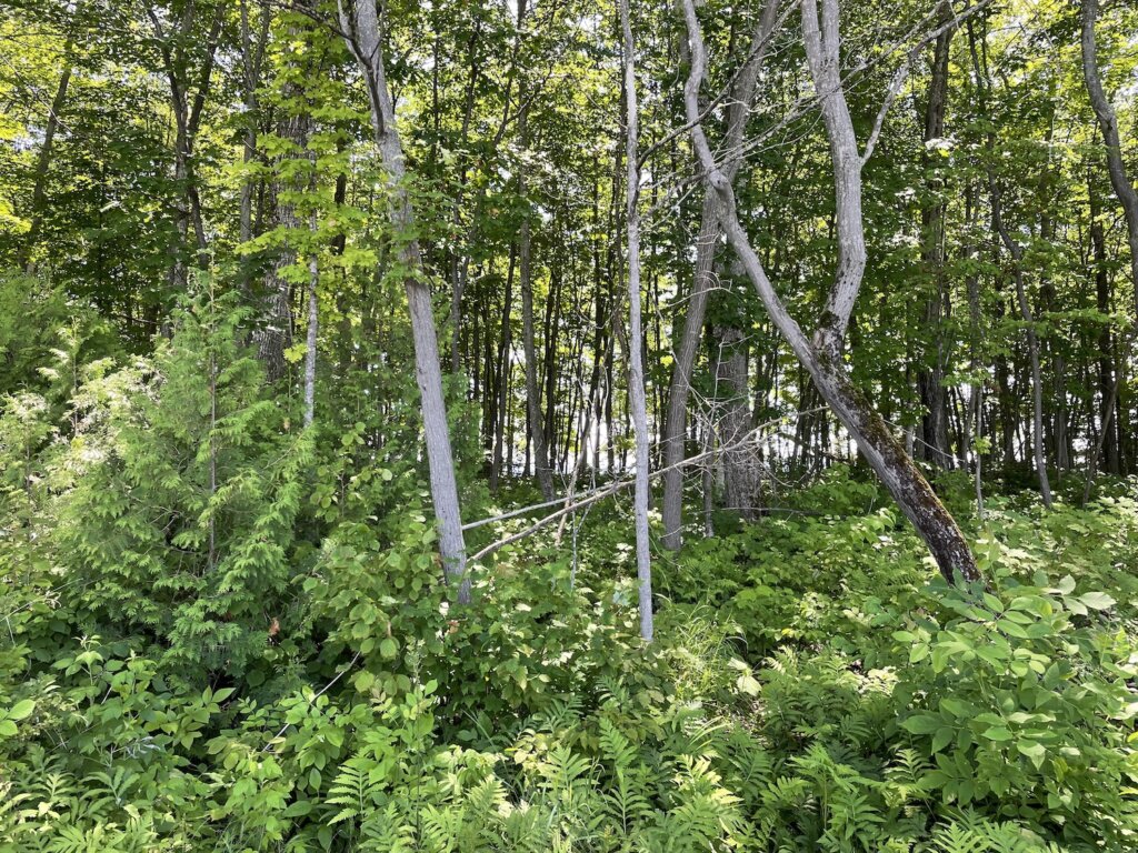
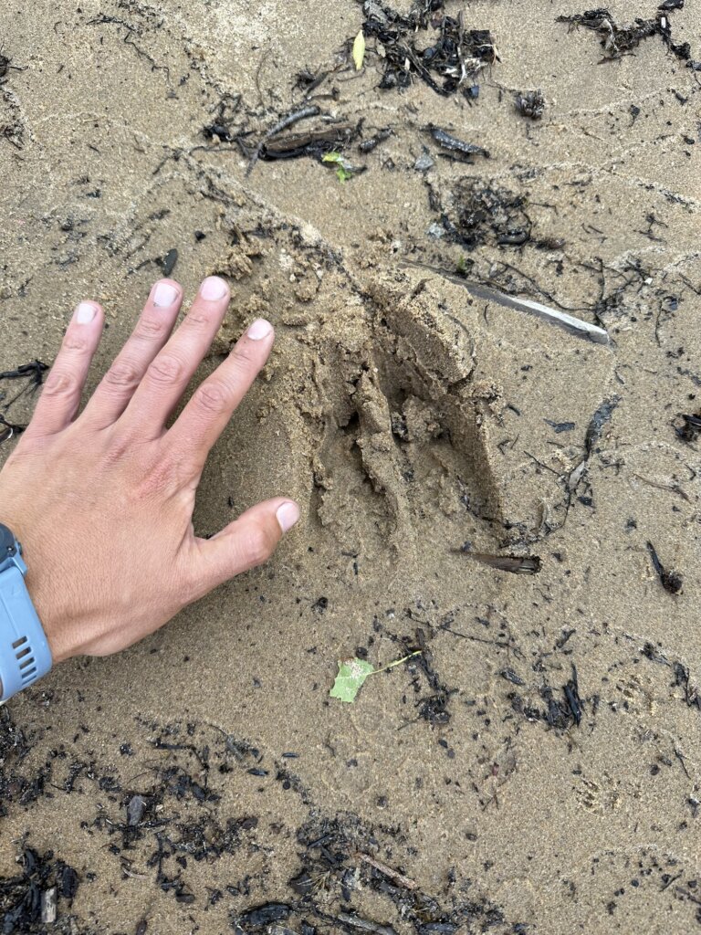
The next morning we headed further into this area, past Batchawana Island, and anchored in Harmony Beach, just about 5 miles away from our anchorage the night before. Again here is nice sand holding. It is very shallow and sandy close to shore so you do need to anchor a bit further out. This is a beautiful spot right along the coast of the island. It’s a nice place to dinghy around or paddleboard. We were hoping to get a hike in but found that there is no hiking on Batchawana Island, we tried and it is very thickly forested and very, very buggy! We did walk briefly along the shore, seeing some very large animal prints in the sand along the way.
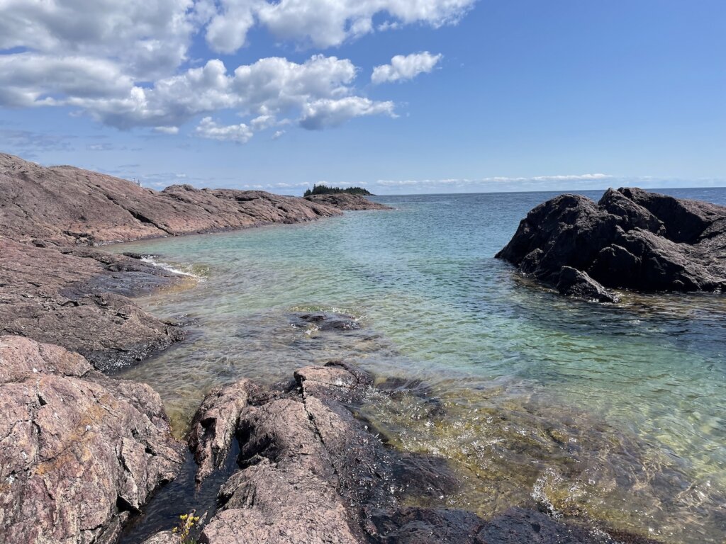
Sinclair Cove
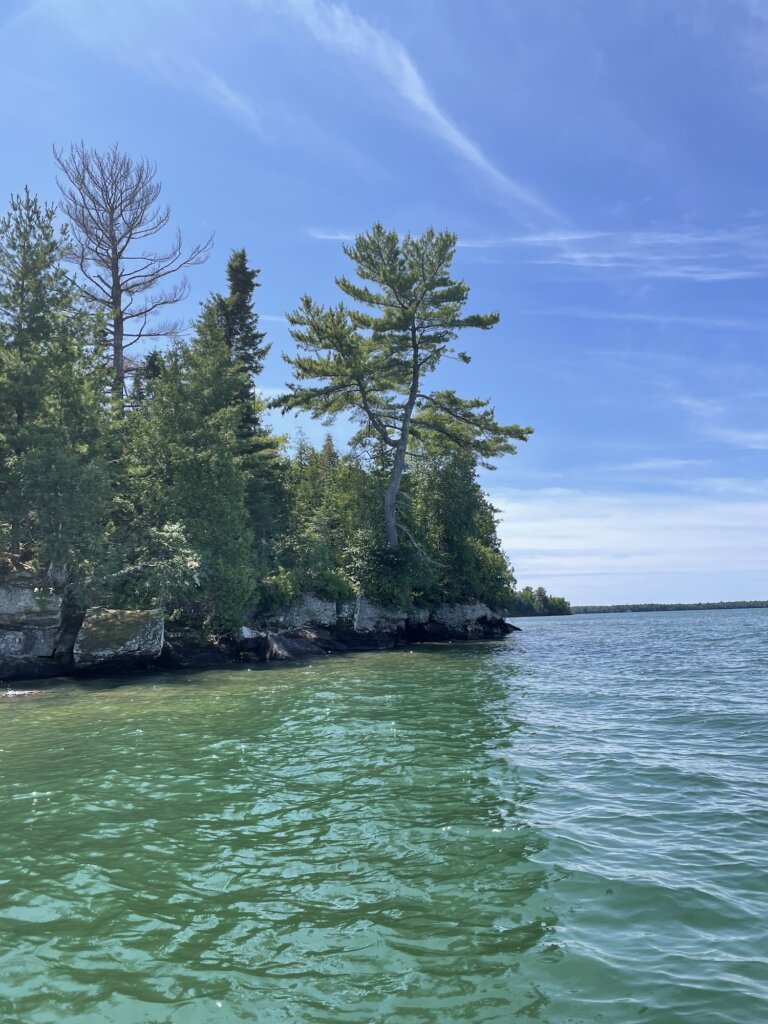
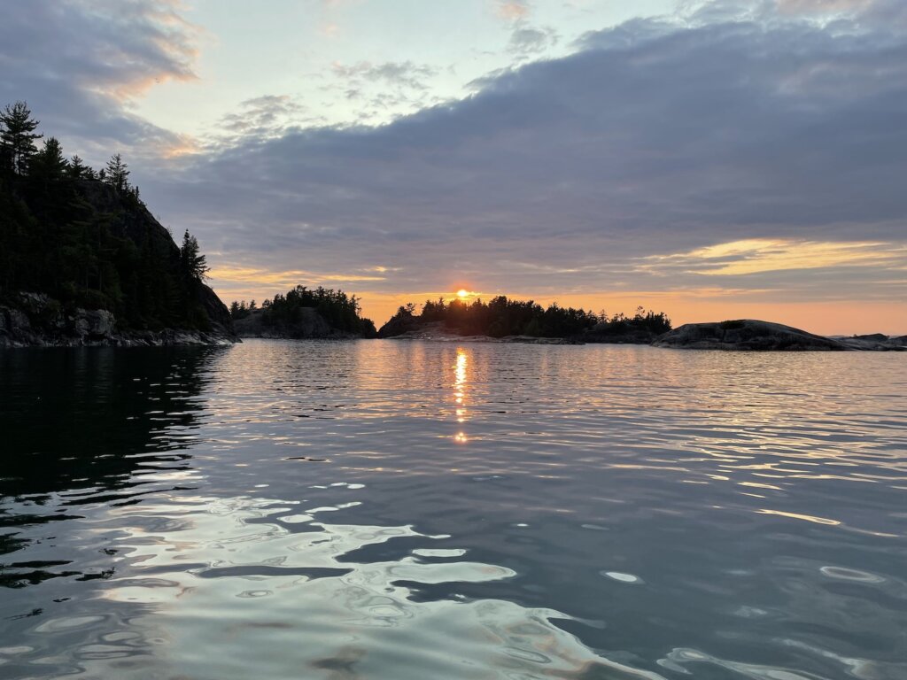
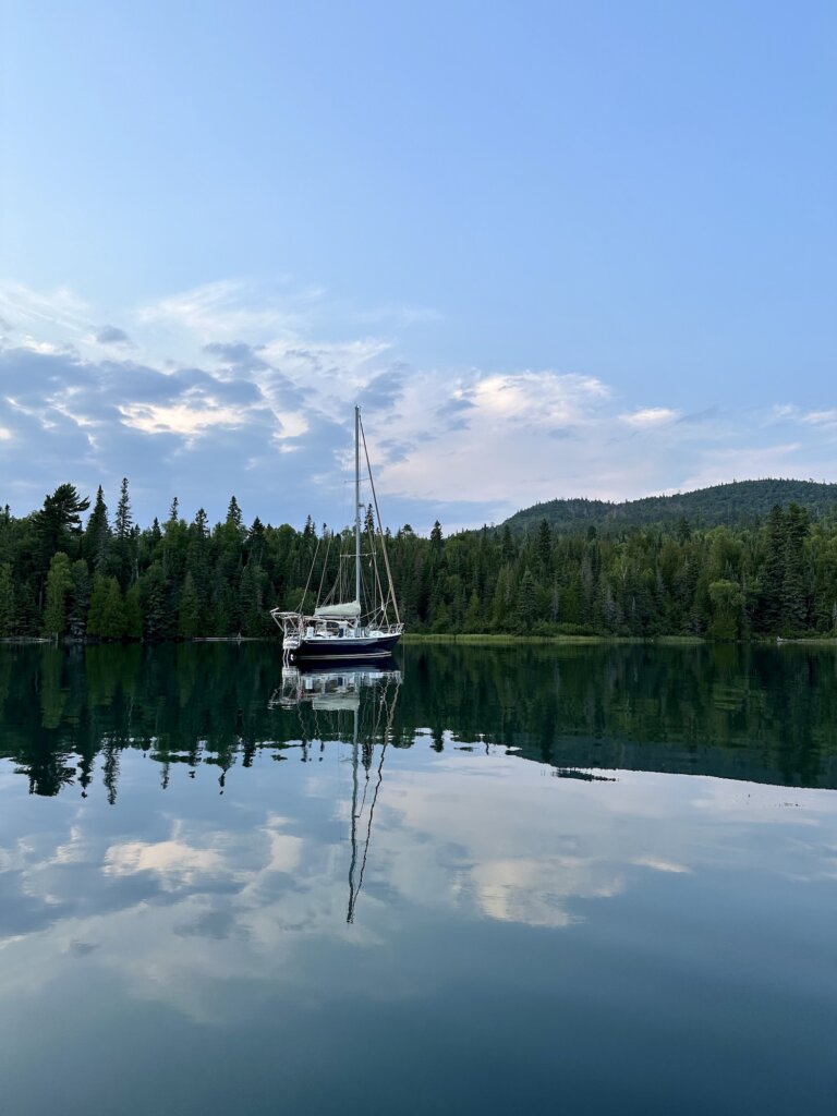
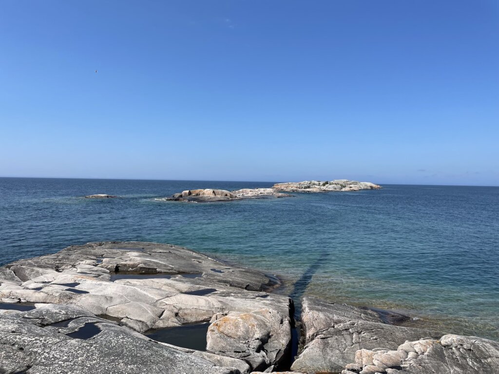
Our next stop was Sinclair Cove. This was our first real wilderness anchorage. It is stunning and we highly recommend it! From the cove, you can take a short hike to visit the Agawa Rock Pictographs. The pictographs were drawn on the rock by the Ojibwe somewhere between 150 to 400 years ago. One of the creatures drawn on the rock is the Mishipeshu- the great lynx. You will need to walk along the rock wall to see pictographs. There are some chains to hold onto as you head out along the edge of the rock. This should be done on a calm day, in large waves this wouldn’t be possible. There are several small, rocky islands around the entrance to the bay which are great to dinghy around and explore. We also saw several bald eagles during our time here.

The anchorage is small. We were alone in the bay until later in the evening when a power boat did come in and stern tie to shore along one of the rocky islands near the entrance. The bay itself has space for maximum 2-3 boats with room to swing on anchor. We had read that the ground here is hard-packed sand, almost concrete-like, and difficult to get an anchor to set. Our 55lb Mantus anchor did slightly dig in and set without backing down much. We have all chain as well so we stayed put for the night. In a strong blow, this would not be a great anchorage.
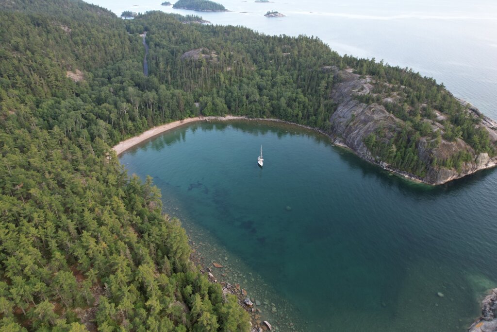
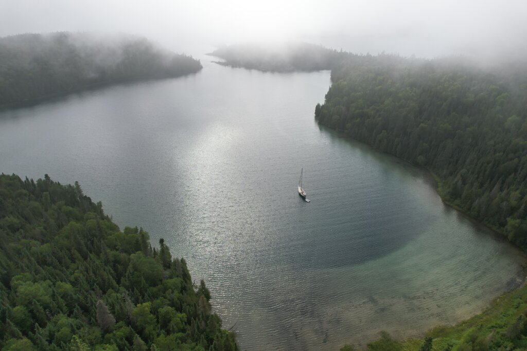
Gargantua Harbour
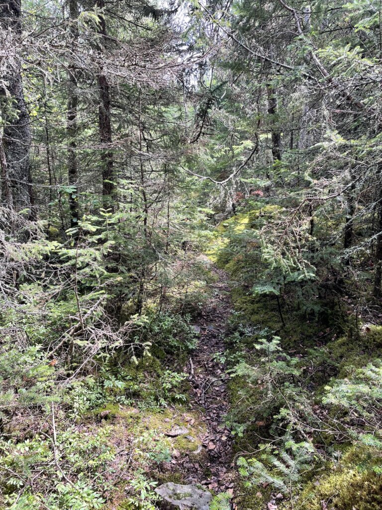
We didn’t have much information on this anchorage but it looked like a well-protected anchorage on Active Captain and it was a good distance for a jump from Sinclair Cove. We found it to be good holding, and safe from wind in any direction. We ended up really enjoying our time here. You can hike along the Lake Superior Coastal trail from Gargantua Bay to Warp Bay. It’s a very nice hike through the forest, and towards the end there is a waterfall. Warp Bay is beautiful and there is a large beach here to walk/explore.

We did run into two park rangers during our hike, they politely told us that we should have a park permit to use the trails since this is part of the Lake Superior Provincial Park. Permits can be purchased online. We told them we could do that from the boat and they had no problem letting us continue on with our hike. The next two bays we went to were also within the park boundaries. Anchoring is no problem but once you set foot on land to use the trails, you should have a permit is what we were told.

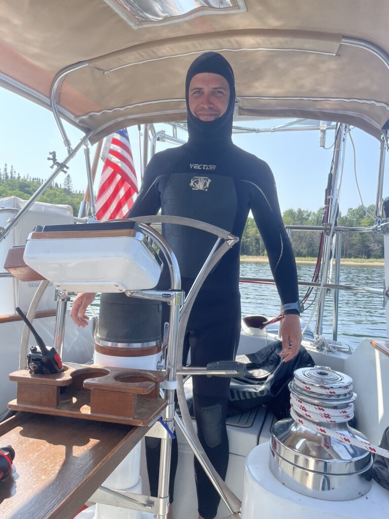
Gargantua Bay also has a shipwreck that is submerged just under the water. Part of the ship was just barely sticking up when we were there. Ryan did dive on the wreck, the water was 52-54*F while we were here in July so definitely not warm!
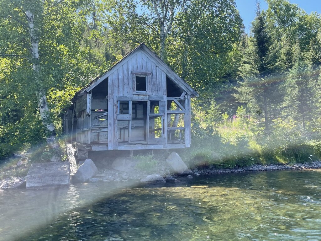
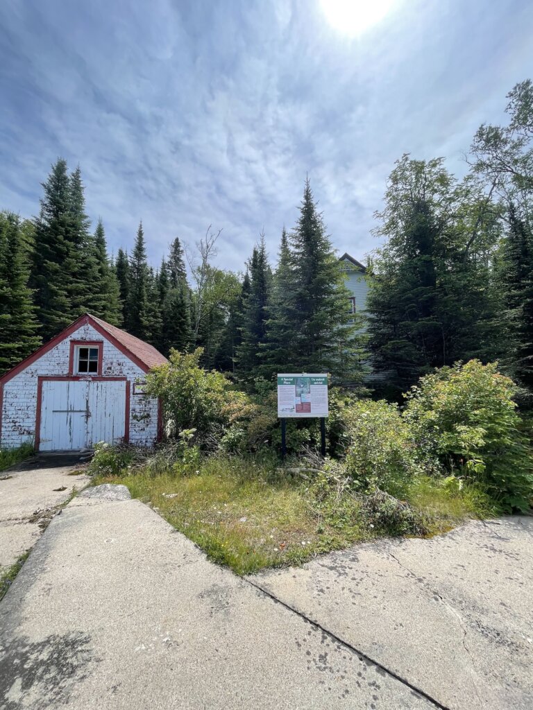
In Gargantua, you can also see the remains of an old fishing shack along the edge of the bay and some old gardens or greenhouses. There was at one time a small fishing village here.
On the way out of the bay, continuing north along the coast, you will sail past Devil’s Warehouse island where there is a cave that is said to be where the ocher plant that was used to paint the Agawa pictographs was found. We opted not to sail through Tug Boat Channel due to hearing the depth was shallow in parts but we read other blog posts from people who did sail through and got amazing views of the Devil’s Chair rock formation.
Brule Harbour
The entrance to this anchorage is stunning! It is an amazing anchorage but be aware of deadheads! We saw at least one very large tree floating in the water as we were trying to anchor. Be sure to use a trip line. We got our anchor up with no problem but we did have a very large branch tangled in our trip line. We were able to get it untangled with a boat hook. There is plenty to dinghy around and explore in this anchorage and you are very well protected from wind in any direction. This may have been our favorite anchorage of the trip!
We actually met another boat here. A tug boat from the Georgian Bay. We had a nice chat with this older couple in the evening. They had been on their trip for 40 days, they went straight across to Thunder Bay and were slowly working their way back. They shared some great intel on our upcoming anchorages.

Old Woman Bay
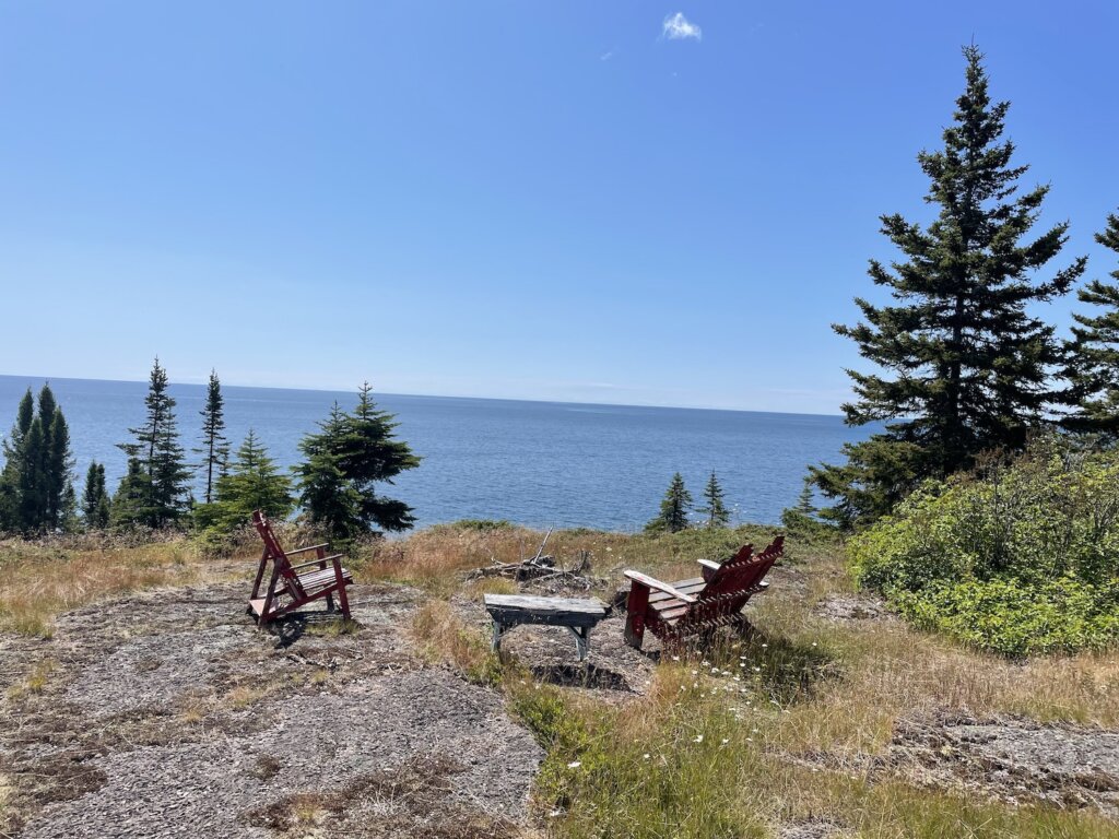
While we were anchored in Brule Harbour we took the dinghy to Old Woman Bay. We had read it is a great place to drive through, beautiful but no anchorage. There is a large cliff face along the edge of the bay that drops straight into the water. After taking time to dinghy past that and take lots of pictures, we landed the dinghy on the large beach and headed to shore for a hike. Across the street from the parking lot here is Nokomis Trail. This 5K loop offers several great lookout points with amazing views of the bay.


Otter Cove
We had heard great things about this anchorage! There is a lot to explore here! It sounds like this is a more popular anchorage from what we read but once again we had the place to ourselves! On a calm day, you can dinghy over to Cascade Falls which dumps right into Lake Superior. If you are willing to scrabble up the rocks a bit you can see a pool in between the upper and lower falls. It’s a beautiful sight and we would highly recommend seeing it!


Old Dave’s Harbour
Old Dave’s is located on Otter Island, very near Otter Cove. We visited Old Dave’s with the dinghy while we were anchored in Otter Cove. We read mixed reviews on if we could safely get our 6ft draft sailboat back here so we decided not to risk it! After going through with the dinghy we feel it would maybe be doable but there is shoaling along each side of the entrance which would make it tricky.
Once inside Old’ Daves, there is an old dock to tie the dinghy to along the shore. There are some old coast guard buildings near the dock. You can walk along a trail supposedly all the way to the lighthouse but it quickly became very overgrown so we ended up dinghying around the island to the lighthouse. There are plenty of rocks to walk around and explore on the outer side of the island! This is a very pretty spot!
Otter Cove ended up being our furthest north anchorage. We had debated continuing on to Allouze Island and the Slates but the weather forecast didn’t look great for that. We read the anchorages in the Slates are all very deep and we didn’t see any hiking trails on AllTrails. We have heard the Slates are beautiful but we ultimately turned back south to explore some different areas with more hiking and things to see.

Quebec Harbour Mitcipicoten Island
This is another more popular anchorage base on what we had read. We saw three other boats here in total and a few small fishing boats. On our final night here we had a lovely cocktail hour and dinner aboard SV Victoria Jean, making new friends who hopefully we will see again on the water someday!

In Quebec Harbour, there are three visible shipwrecks in the anchorage. We struggled to find much information on them when we looked them up online. Two of the wrecks are above water, the third is submerged. Along Davieaux Island at the entrance to the harbour, there is a nice trail that takes you up to the old lighthouse. There is an old dock to tie the dinghy up while you explore. The views out to Lake Superior here are stunning!
There is also an old, abandoned fishing village in the anchorage. We wandered around exploring what we could. There is somewhat of a trail but everything is very overgrown. There are no formal trails on Mitchipicoten Island and from what we could see it looks very thickly forested so we only explored close to shore.


We were hoping to get a glimpse at some caribou while we were in Quebec Harbour but we had no such luck! We did see many, many ducks and loons swimming in the harbour and a few bald eagles. This anchorage has great holding, sand bottom, and is protected from the wind in all directions. We were told by some fishermen that there is good pike and trout fishing but we didn’t try our luck at it.

Resources
There is not much in the way of cities/towns/resources along this stretch of coastline. We were told that Buck’s Marina in Wawa will have fuel, diesel, water, and pump out. We read and were told the people at Buck’s are willing to help with whatever you need if they can.
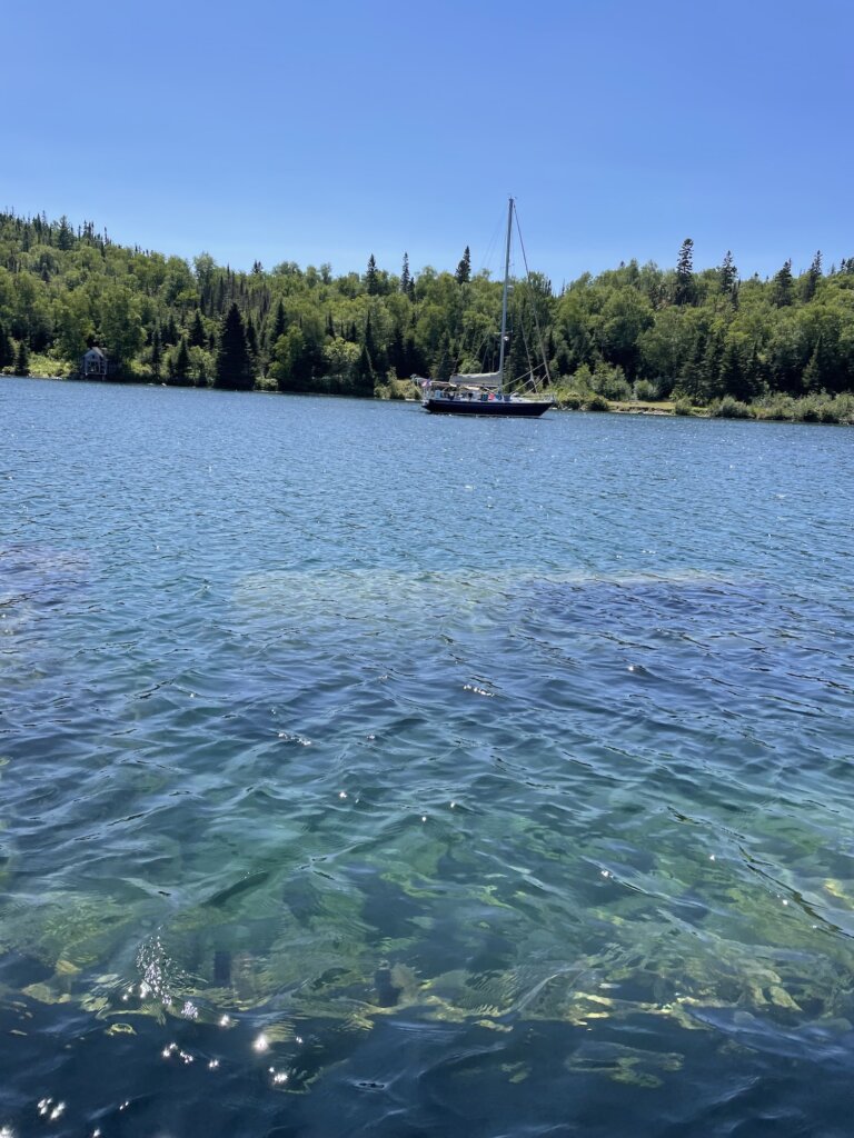
We didn’t actually need to reprovision during our time along this coast of Lake Superior. We carry 80 gallons of diesel in our tanks plus three jerrycans. We filled our dinghy gas tank and had one extra jerry can for that. We have a composting toilet so we don’t need pump out. We did a big grocery run in Sault St. Marie so we were well stocked on this trip. We carry 115 gallons of water in our tanks. Given the number of filters we have onboard, we felt fine with filling our tanks with Lake Superior water as we began to run low.
In our research before this trip, we kept hearing this coastline described as wilderness sailing and that is exactly what it is. The scenery is stunning! You will most likely have these amazing anchorages to yourself. But you need to come prepared and have what you need onboard.

If we had more time we would have loved to keep going north, further along the coast. Our goal is to leave the Great Lakes and head out the Erie Canal so we had to get going back south. This is definitely a place we would love to return to and cruise again someday!
