You have a few options when taking a boat from the Great Lakes to the ocean. You can take the Mississippi River, the St. Lawrence Seaway, or the Erie Canal. We are heading to the Bahamas and the Eastern Caribbean so the Mississippi didn’t make sense. The St Lawrence Seaway puts you a lot further north than we wanted to go this tip so we chose the Erie Canal.
The Original Erie Canal was completed in 1825. It was designed as a ditch filled with water. Mules or horses would walk along the towpaths on either side, pulling barges. Since the canal was such a success it was enlarged and then enlarged again to the present day canal. Today, the Erie Canal is 295 NM (340 statute miles) through the state of New York. It contains 35 locks and 16 lift bridges. The lift bridges all rise to a height of 15.5 ft.
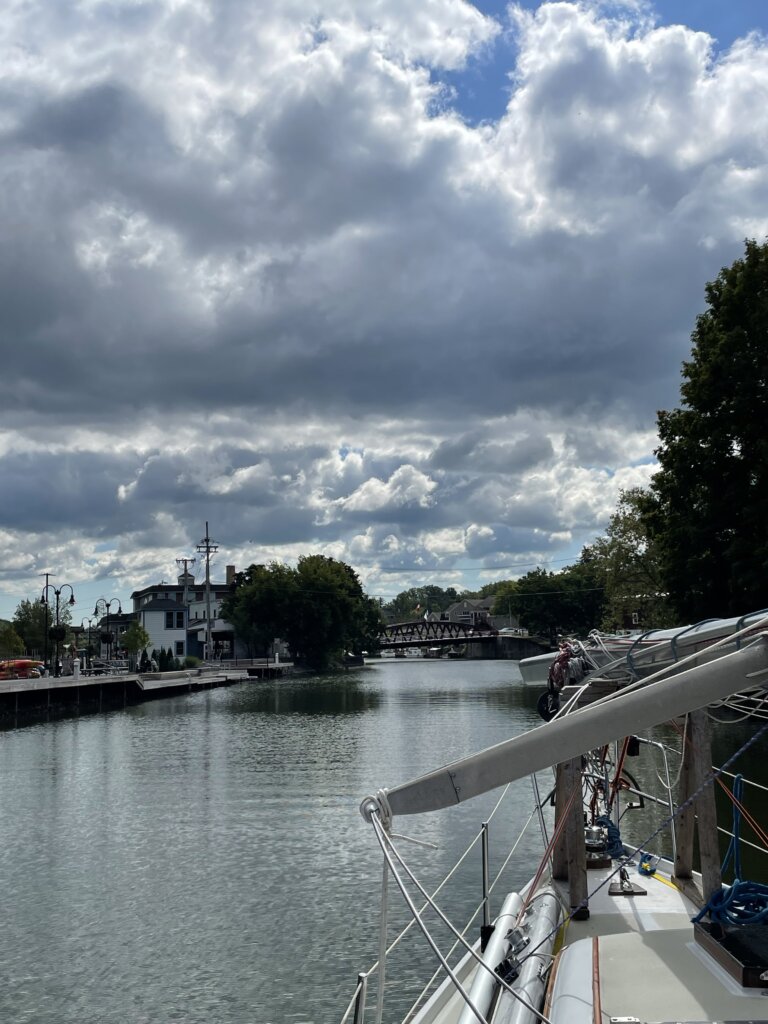
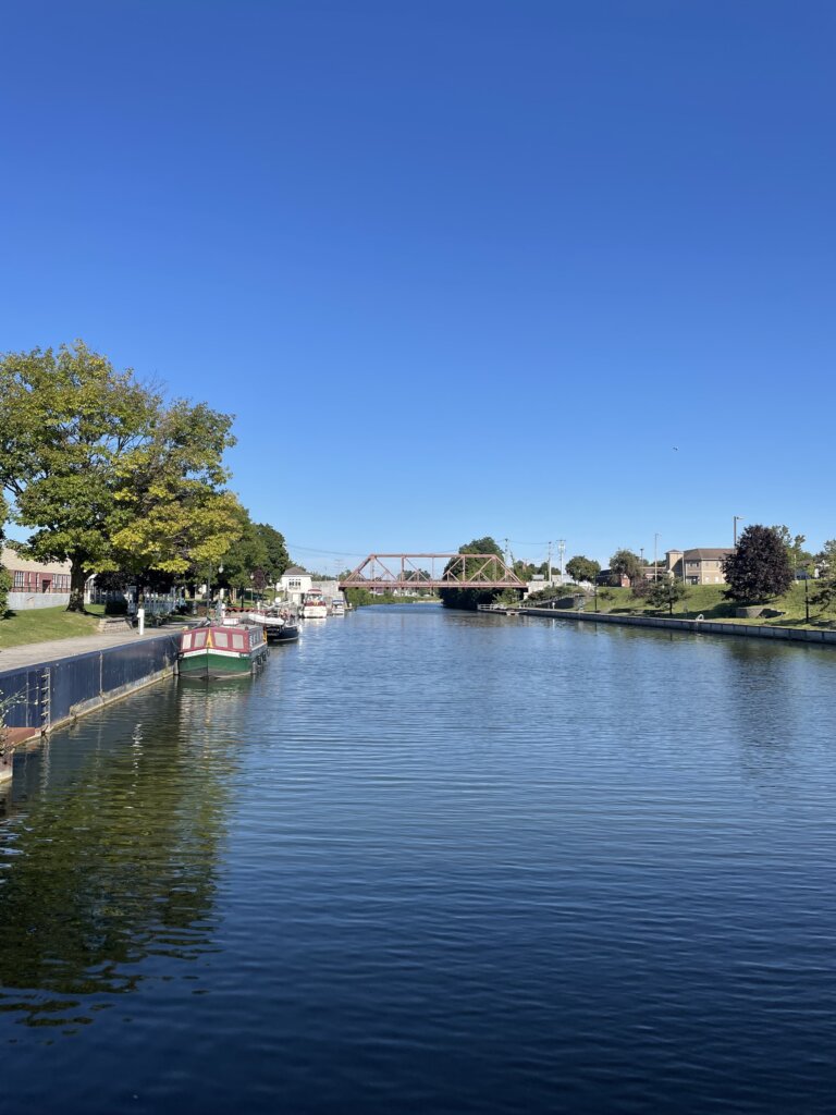
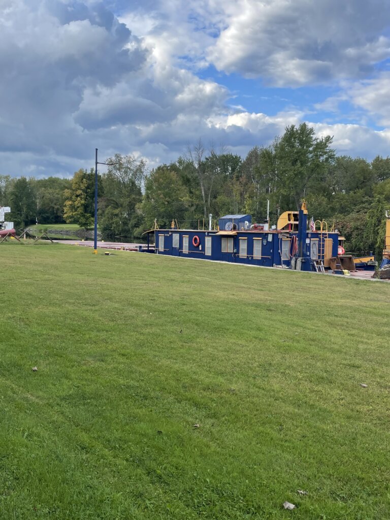
We really enjoyed our journey through the canal! There are plenty of places to tie off for the night. Many places are free and offer electric and water. There are also many places with free pump-out along the canal. We used Skipper Bob’s Guidebook and found that to be very helpful. Many of the stops are right in town so you can walk to stores and restaurants. There are also many stops away from town if you are looking for a quiet setting.
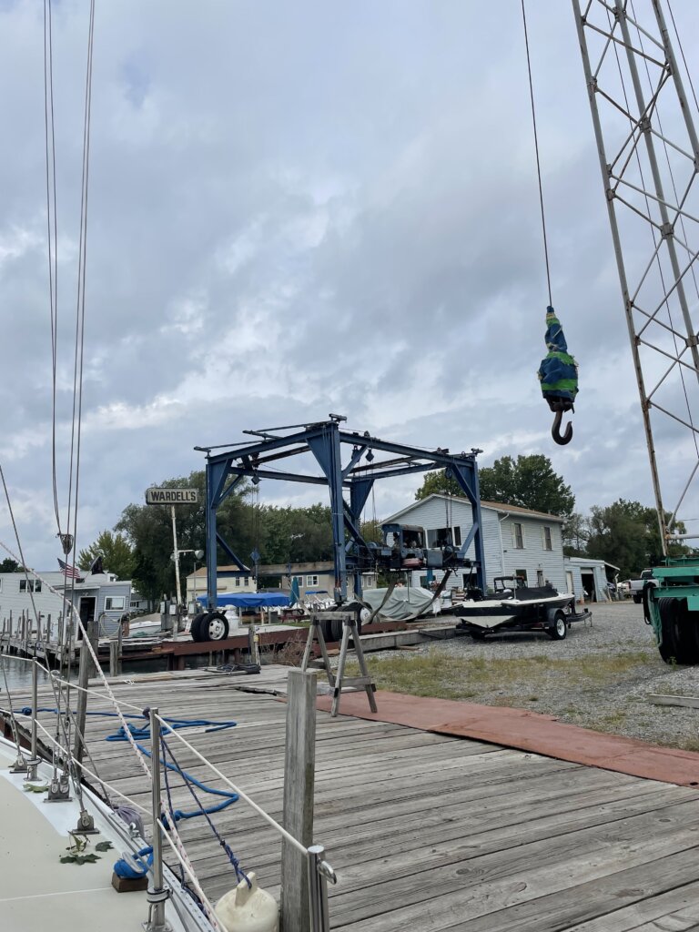
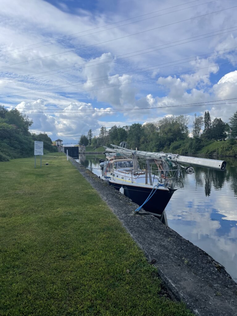
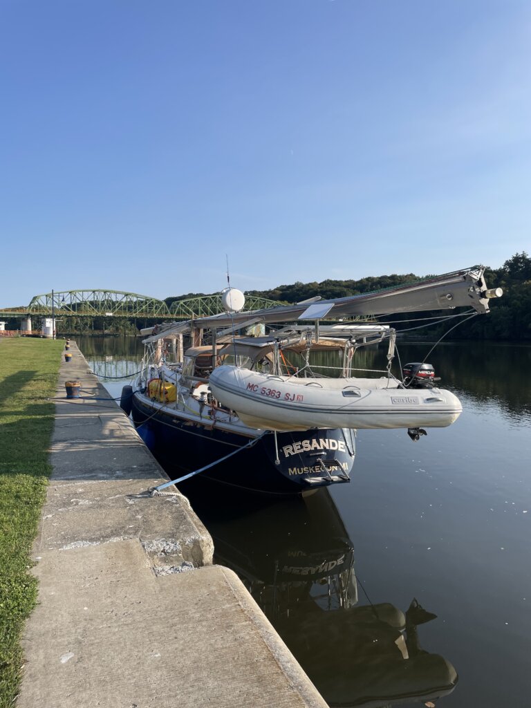
Traveling from west to east you will enter the New York Canal System at the town of Tonawanda. Wardell’s Boatyard is where most people have their mast stepped if traveling by sailboat. The boatyard is along the canal right before the first low bridge that you won’t be able to get under with the mast up. You can tie up on the free wall across from the yard. The wall is metal and doesn’t have any cleats or bollards to tie to. There are holes near the top of the wall you can run a rope through and then back to the cleats on your boat. While here waiting for your mast to be stepped you will find a very close grocery store and wine/liquor store. Advance Auto Parts store is also close by if needed.
We were expecting to have to wait a day or so but as soon as we arrived Wardell’s said they could step our mast that day. We promptly got the sails down and everything ready. There is old lumbar from previous boats that you can use to build your mast cradle. Wardell’s staff basically found old cradle pieces that worked for our boat and put the whole thing together for us. The total cost was $10 a foot (of the mast) and $100 for the cradle.
The following day we began our journey down the canal.
Day 1: Tonawanda to Lockport
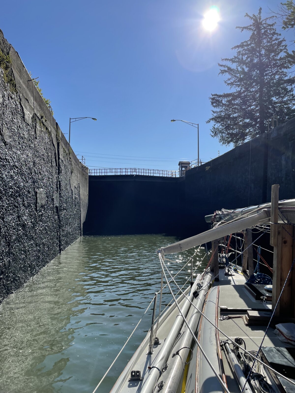
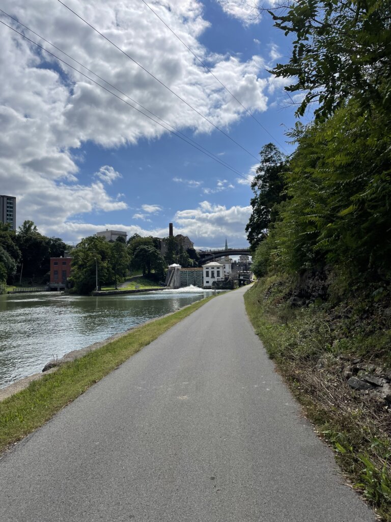
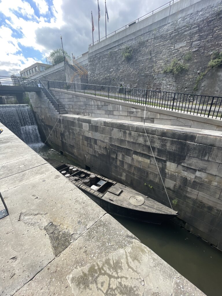
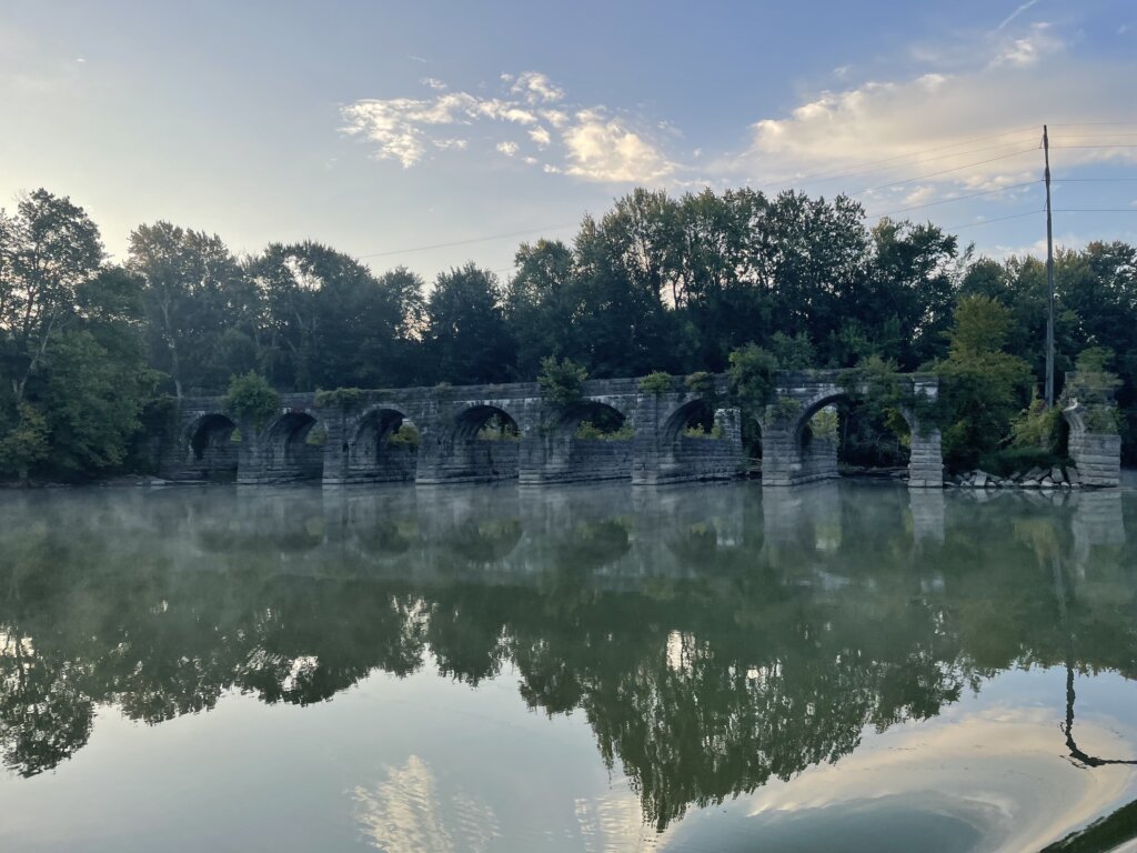
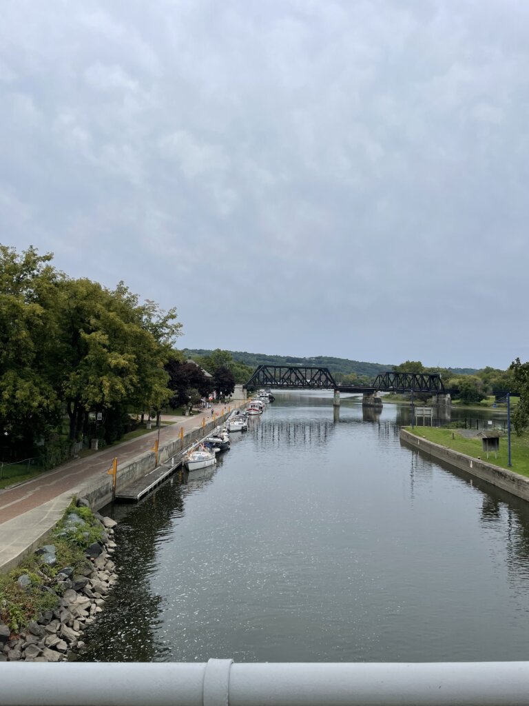
We chose to only go 18 miles to Lockport one day one. We stayed at the park on the north side just after locks 35 and 34. These two locks are a pair. You immediately enter 34 when they open the doors in 35. We found there to be a lot of current pulling our boat back and forth when the doors opened so be prepared for that. Each lock drops you down 25 ft. Once tied off along the wall at the park there is a nice walk up to town along the locks. Lockport originally had two sets of 5 locks when the canal was built. You can see one of the old sets of 5 original locks as you walk up to town. The entire town is centered around the locks.
Day 2: Lockport to Spencerport
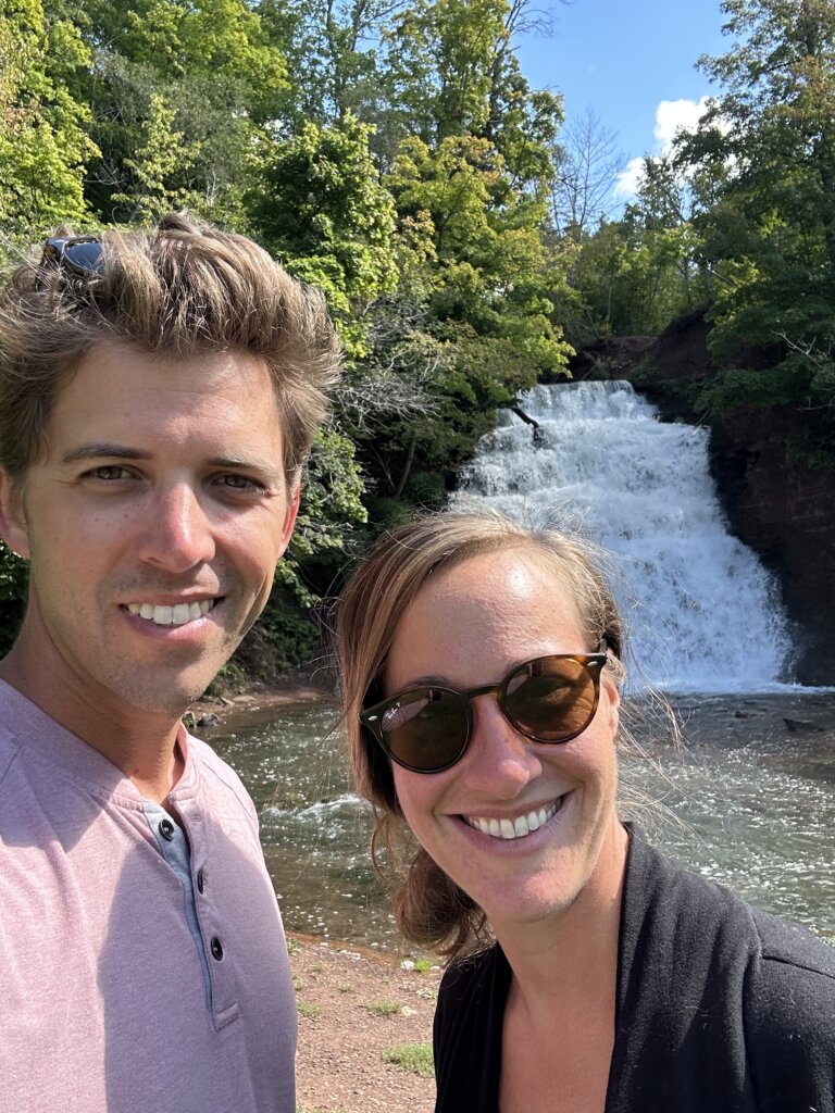
The western half of the canal is where pretty much all of the lift bridges are located. Day two on the canal we went through a total of 15. We didn’t experience any delay, whenever we hailed a bridge on the radio they were ready and began lifting for us. We stopped in Holley for lunch and to see the waterfall. Along the south side, there is a free, wooden dock with electric and water. It is a short walk to the park to see the Holley Falls. The park and the waterfall are both beautiful. We would highly recommend this as a stop or an overnight stay.

After lunch, we continued on to Spencerport. We traveled a total of 49.2 miles. In Spencerport, you can tie along either the north or south side. North is deeper, we read the south side is about 4.5 ft deep. There is electric on the north side and bollards to tie to. The south side has electric, water, and cleats to tie to. We found a really good ice cream shop close by. There are also several restaurants in town we were told were very good.
Day 3: Specerport to Newark
The following day we headed all the way to Newark, 44.5 miles. We passed a few small towns, Pittsford and Fairport both looked very cute. We didn’t stop as we wanted to keep going for the day. The wall at both these towns has plenty of room for boats. Fairport is a popular stop and the walls there were quite full when we passed by. There is a fee to stay in Fairport.
We arrived late afternoon in Newark. Here there is a free wall, free wifi, power, water, and laundry along the north side. You should check in with the office when you arrive and they will give you the code as well as information on the town. The facilities were very clean and nice. While it isn’t the cutest town in this section of the canal we felt it was a great stop due to all the amenities for boaters.
Day 4: Newark to May’s Point/Lock 25
We chose to do a shorter day the following day, we traveled 22.5 miles and stayed along the wall just after lock 25. The wall is high and there are no services. It was quiet, nothing around but we enjoyed the peaceful evening.
Day 5: May’s Point/Lock 25 to Brewerton
The following day we got up early and went 53 miles to Brewerton. Before getting to the free wall in town we stopped at Winter Harbor Marina at their self-service gas/diesel dock. Diesel was at least a dollar less here than anywhere we had seen in a while- $3.79 a gallon. We spent the night on the south side in between the bridges. There was noise from the train when it went by and some boat traffic during the late afternoon. It quieted down in the evening and overnight. The dock is nice and has cleats to tie to. No electric or water here. This brought us past the halfway point. We entered the eastern section of the canal the next morning.
Day 6: Brewerton to Lock 20
We headed from Brewerton to Rome where we were hoping to stay the night and explore the city. Our Skipper Bob book did say to check charts as the depth had been reported as 5 ft. We checked the charts and saw shoaling from the west but right at the wall, the chart said 10 ft. When we arrived there were several red buoys on the west side, we assumed that was where it was shallow. It got shallow very quickly as we approached the dock and we got stuck hard aground. We were not able to reverse off. We had to drop the dinghy off the davits and use it to tow Resande off the mud. That did work and we were then able to continue on. We stayed the night on the wall just east of lock 20 instead. It was quiet, no services on the wall but exactly what we needed after our eventful day!
Day 7: Lock 20 to Little Falls/Lock 17
After going further than planned the day prior, we had a shorter day, 26 miles. We stayed on the wall for free just past lock 17. You can stay right in town at Little Falls but it is $1 per foot last we read. We finally ran into other sailboats transiting the canal and heading south! There were 4-5 other sailboats tied up on the wall when we arrived, still, we had plenty of space. The canal from lock 20 to 18 is shallower with a lot of shoaling. We used the following link as our guide- Eastern Canal Water Published Depths. It shows the last known depths at the North/Middle/South of the canal. We draw 6 feet and between Rome and Lock 18 we touched the bottom 3 times. We had our eyes glued to the depth sounder for most of that time since we were seeing depths 6-7 feet most of the way. The website above will at least tell you which side to favor for the best chances to get through. For the most part, it was pretty accurate. Also, they were dredging just east of Lock 19 as we went by, we had to pass close to the dredging equipment on the north side, and it was easily 9-10’ the whole way to the lock. Generally, wherever there is a river confluence, there is usually a bad shoal on the side of the river.
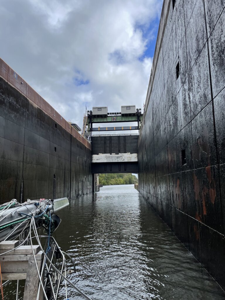
Lock 17 is the largest lock on the canal. It lifts or lowers 40.5 ft. It is also one of only two locks in North America where the guard gate lifts over the boater. You will get wet as you leave the lock and pass under the gate.
Day 8: Rest and Explore in Little Falls
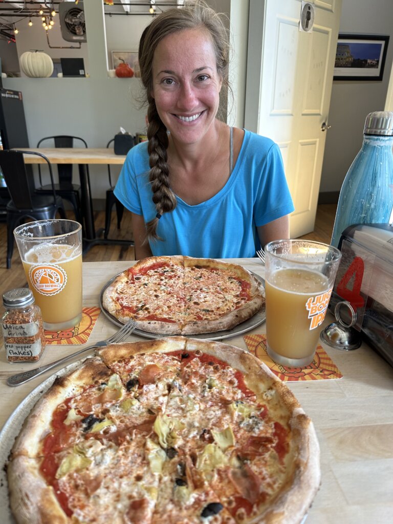
We decided to take a day off and explore more around this small town. There are many historical buildings in town to see. You will also cross over the river and see the falls as you enter town from the lock. We really enjoyed lunch at Mangia Macrina’s Wood-Fired Pizza. We highly recommend it if you stop here! In town, you can also find groceries, wine and liquor, and a hardware store.
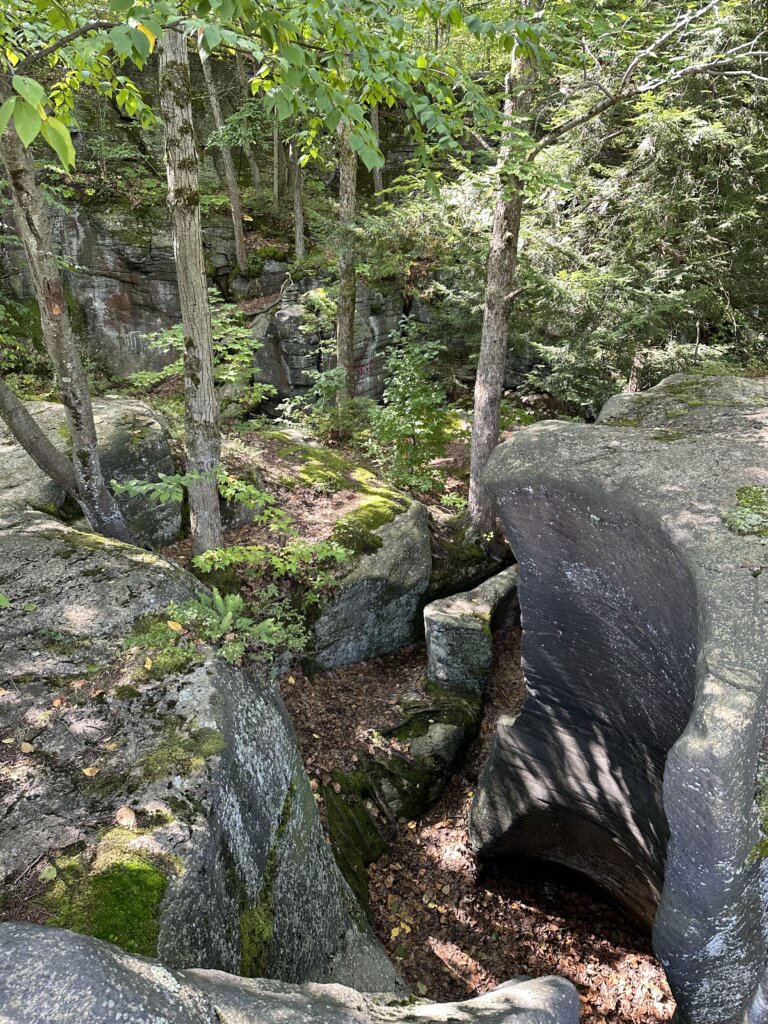
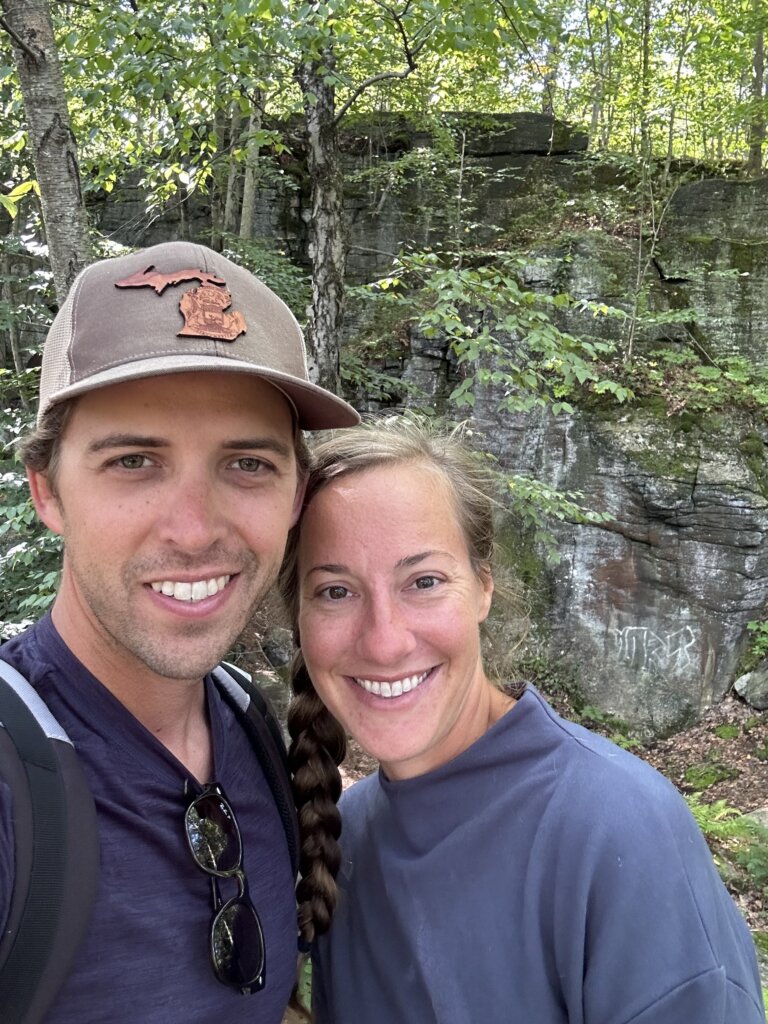
The other highlight for us here was exploring Moss Island. This unique island is known for its large 40-foot-deep potholes (rock formations), the island is covered in dwarf oak trees. It’s beautiful to hike through. You can see glacial striations in the rocks in some places on the island. Some of the rocks are tagged with graffiti which is unfortunate but overall still well worth a visit!
Day 9: Little Falls/Lock 17 to Lock 11
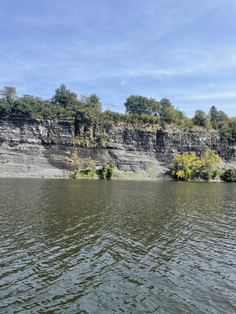
We traveled 40 miles on this day. Much of it through rocky hills, very pretty. The locks along this stretch are all adjacent to dams as the canal runs through the Mohawk River. The lock walls are also much shorter and curved. We found our fenders weren’t helping when we approached the locks (they were too high with these lock walls). In Lock 12, we scratched the boat while grabbing the lines in the lock. We significantly lowered the fenders after that! We stayed along the wall on the north side at the top of lock 11 that night. There is electric but no water or pump out available.
Day 10: Lcok 11 to Crescent
We waited until the fog lifted and then headed off. This section of the canal was very pretty with rocky walls along either side much of the way again. The lock walls went back to what we had experienced originally, taller and not curved making it easier to approach without scratching the boat. We had a slight delay at lock 7 due to a mechanical issue but they quickly got it fixed and we were on our way. We made it 34 miles to Crescent where we tied up to the free wall for the night, no services here. The following day we finished the last few miles of the canal!
Day 11: Crescent to Wartford
We transited the Waterford Flight to finish off the canal. You do need to arrive at this section at least 90 minutes before closing time for the day as you can’t stay in between these locks. This set of locks includes locks 6-2. These locks are known for raising/lowering a boat the greatest amount in the shortest distance in the world- 169 ft in 2 miles! Before getting to lock 6 you will arrive at Guard Gate 2. This gate is typically closed so you may need to call on channel 13 to have it raised. Once it was up the first lock quickly followed as was ready for us. The locks are so close that once you leave one the next lock will likely be ready for you to enter. We had two other boats with us and in total, it took us about 90 minutes to complete the flight.
We landed just after lock 2 in Waterford where we stayed for two nights to relax, clean the boat, and re-provision. The fee here is $10 a night and that includes electric and water. You can pay an additional $5 for the bathroom/shower code. The grocery store in town will allow boaters to bring a cart back to the docks and they come by to pick them up every so often so you can leave the cart by the visitors center when you are done. The grocery store here was very well stocked! one of the best we had seen since we left our home port. There is a farmers market on Sunday mornings right along the waterfront which we were very glad we could catch.
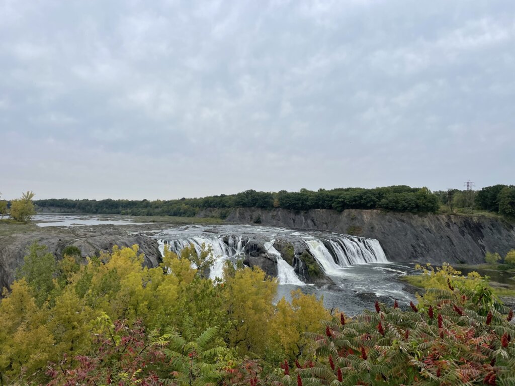
The other highlights for us near Waterford were Cohoes Falls and Peebles Island State Park. Cohoes Falls is the second-largest waterfall in the state of New York. It is 2.7 miles from the waterfront and we found the walk to be well worth it! Peebles Island is very close to the waterfront. You can walk the perimeter trail of the island. You will get great views of the river along the way. The total perimeter is 2.4 miles.
Helpful Hints When Transiting The Canal:
- Use gloves when locking, the lines are slimy. We had purchased these gloves for sailing in cold weather but they also worked great for the locks. The longer length of them kept us clean and they wiped off well once we were through the canal.
- There can be a strong current in between the double locks (35-34) when the doors open after the first lock. This is the only double lock set. We had no trouble with any of the other locks.
- All bridges and locks use VHF channel 13. They will likely ask you how far you are going each day and let the upcoming bridge or lock operators know so they are ready/expecting you.
- The bridge operators often operate more than one bridge so you may have a short wait.
- There won’t be anyone in the lock to help with your lines. The locks all have ropes you can grab onto and hold as you rise/lower. A few of the locks will also have cables. The lines have weights on the bottom but aren’t connected to the bottom of the lock
- Significantly lower your fenders after Lock 17. The walls are angled differently and much lower so on our boat when we went to grab the lines our fenders (which were in a good place for all previous locks) were not protecting the boat. We didn’t lower our fenders after lock 16, not sure if they would all be this way and we scratched the boat.
- You really need a couple of larger fenders but the ball fenders aren’t necessary. A few people we talked to were going to buy ball fenders specifically for the canal but if you have larger fenders you will be fine.
Take your time and enjoy your trip down the canal!