Categories
sailing

World-Class Cruising in the Great Lakes- The North Channel

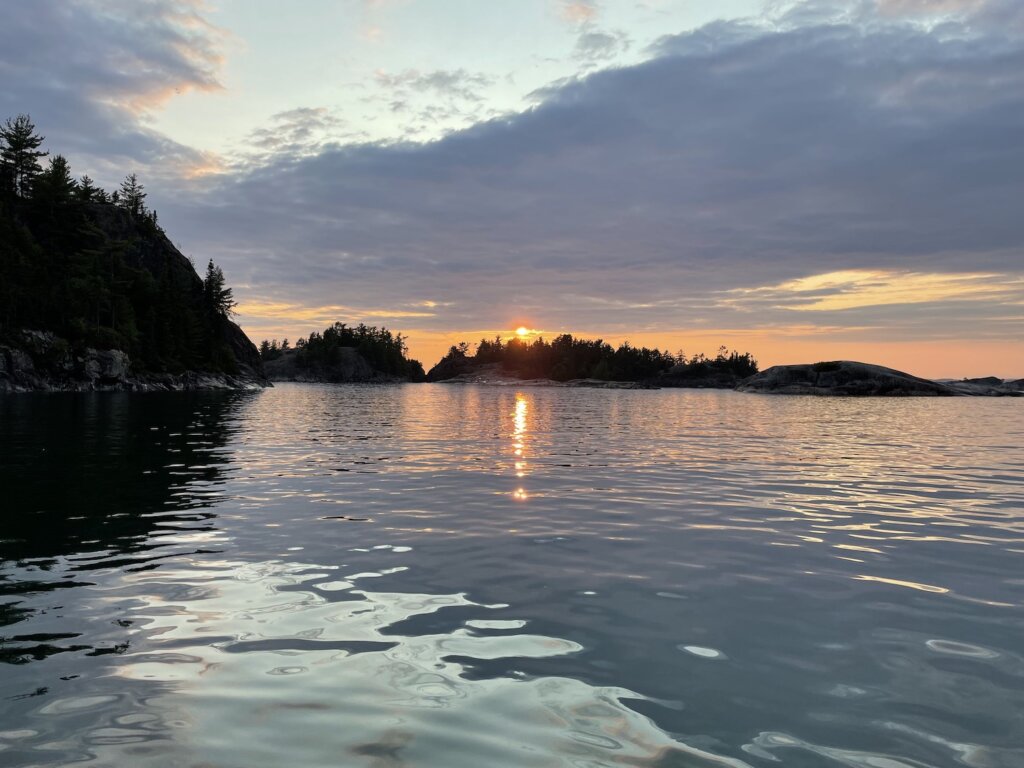
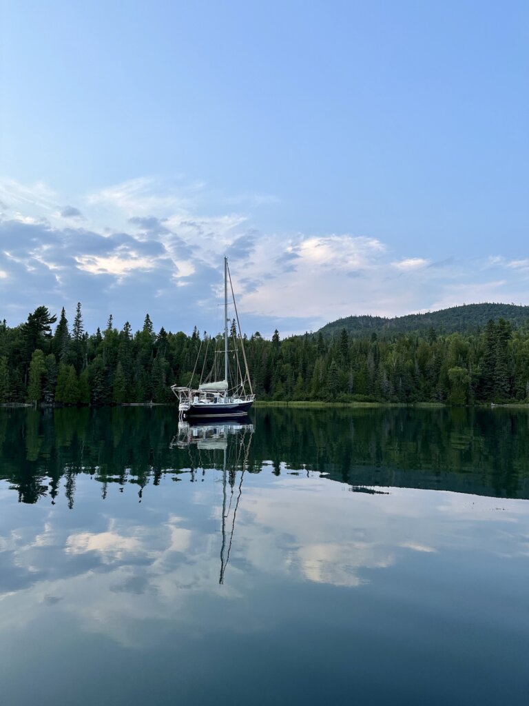
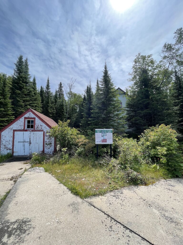
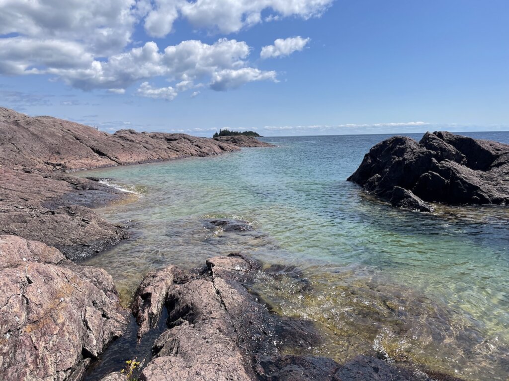
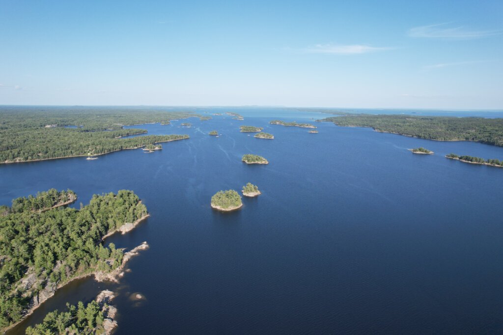
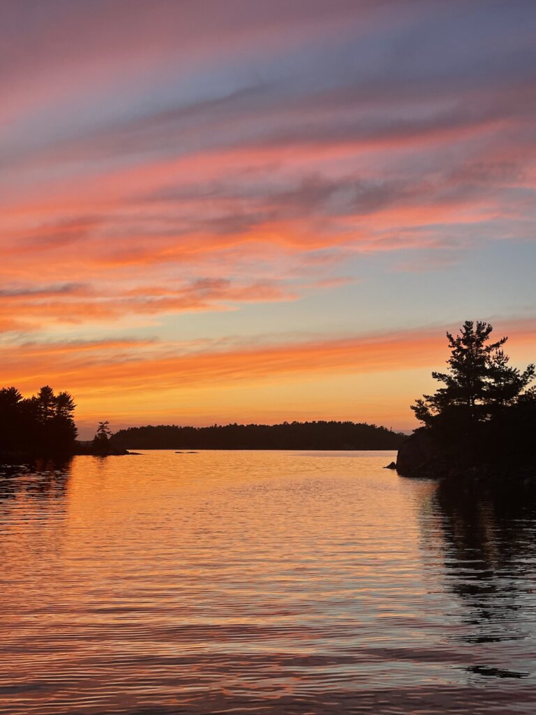
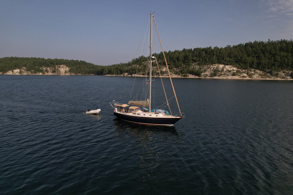
We had been hearing for years “You have to go to the North Channel, it’s Amazing!” Everyone says it’s beautiful and a must-visit but we never had time to get there and back until this summer on our way out of the Great Lakes. After our journey in Lake Superior, we headed east, into the North Channel. From Sault St. Marie our first stop was in Milford Haven. We spent one night here and woke up early the next morning to head across the channel, officially into the North Channel anchorages!

Turnbull Island

This was our first anchorage in the North Channel. It’s a nice anchorage with plenty of room. There are many outer islands to explore by dinghy or paddle board. The beach in the anchorage also has a grill, fire pit, and picnic tables. We enjoyed our time here and met several other cruisers. It was nice to get some information and recommendations from people who have cruised the North Channel before.

Beardrop Harbour

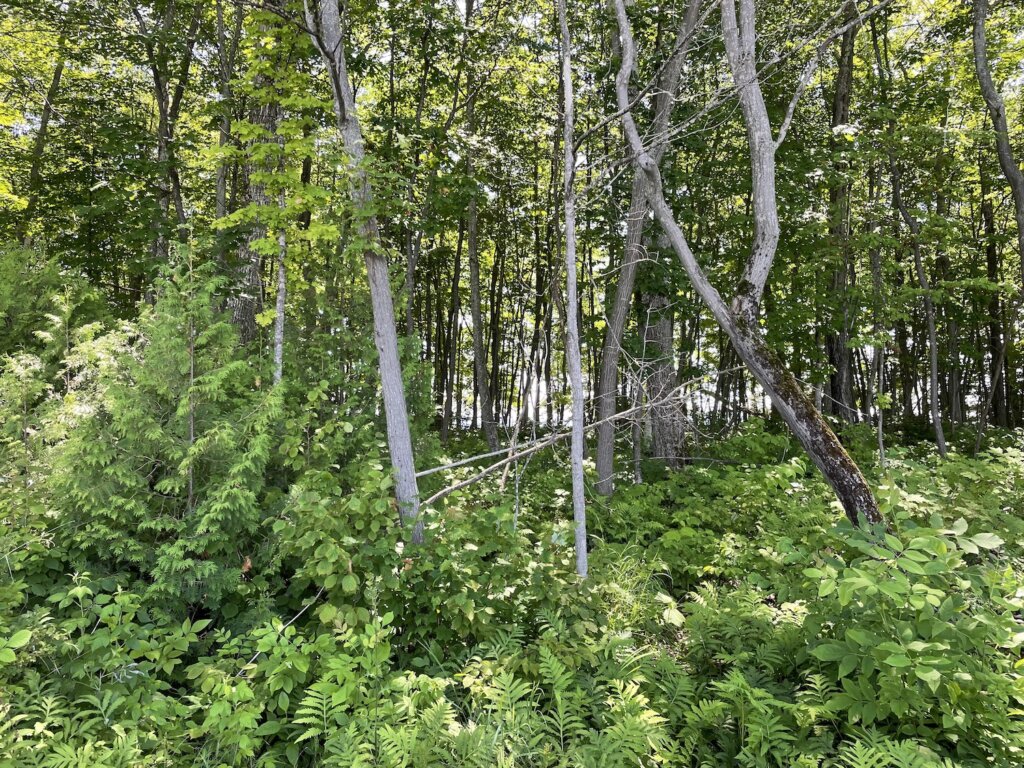
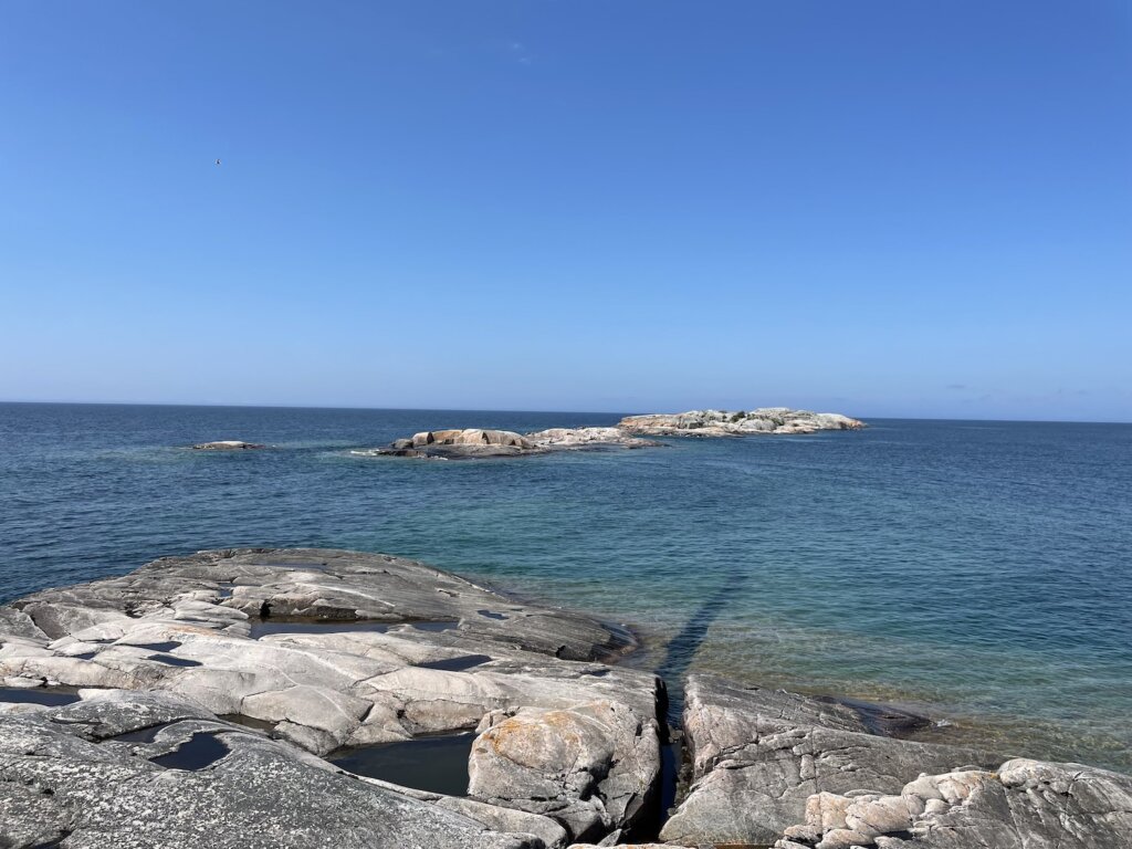
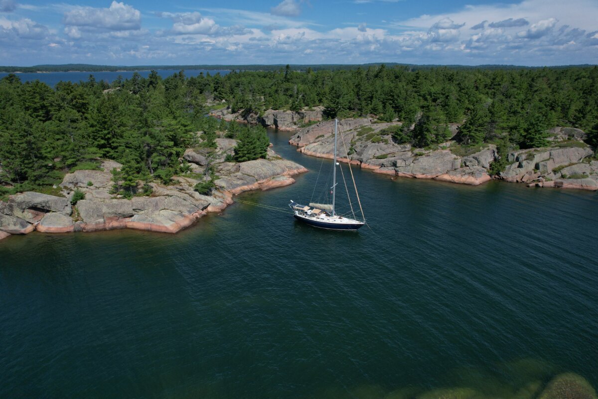
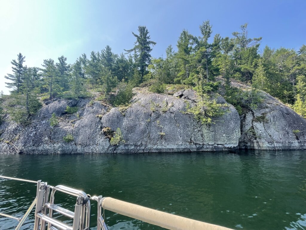
This place is stunning! It’s a popular spot but there is plenty of room. We were anchored with about 8-10 other boats the few nights we stayed and everyone was well spaced out. We anchored near the small cut going out to Whalesback Channel. This was perfect for dinghying and paddle boarding out into the channel and back into the anchorage. There is plenty to explore here. We found plenty of blueberries on the islands! There are also many bald eagles in the area! We even saw a little mink running across the shore! One of our favorite spots we visited for sure!

Moiles Harbour

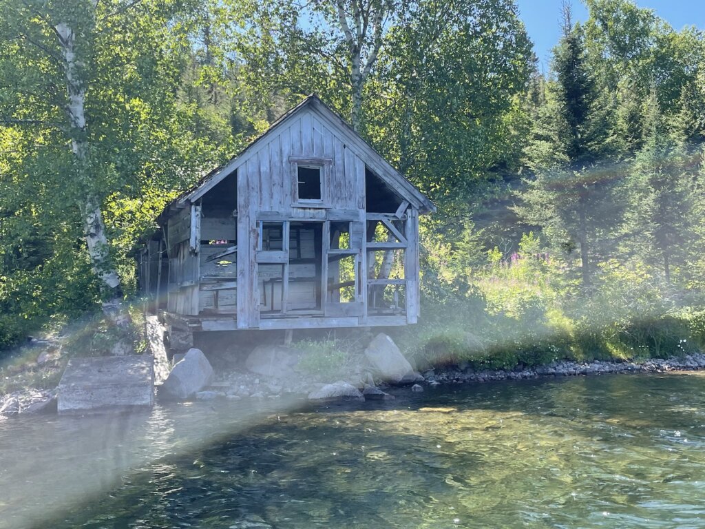
This anchorage is only 6 miles from Beardrop, across the Whalesback Channel. It’s a beautiful sail between the two anchorages. The Sudbury YMCA owns the land around the anchorage but we read that they don’t mind cruisers anchoring as long as you respect the land and water and don’t have bonfires. You can see the ruins of an old sawmill in the bay. The bay is quite large with room for several boats. There are plenty of small, rocky islands to explore. While this anchorage was nice, we felt it was only necessary to stay one night and then keep on moving.

Shoepack Bay

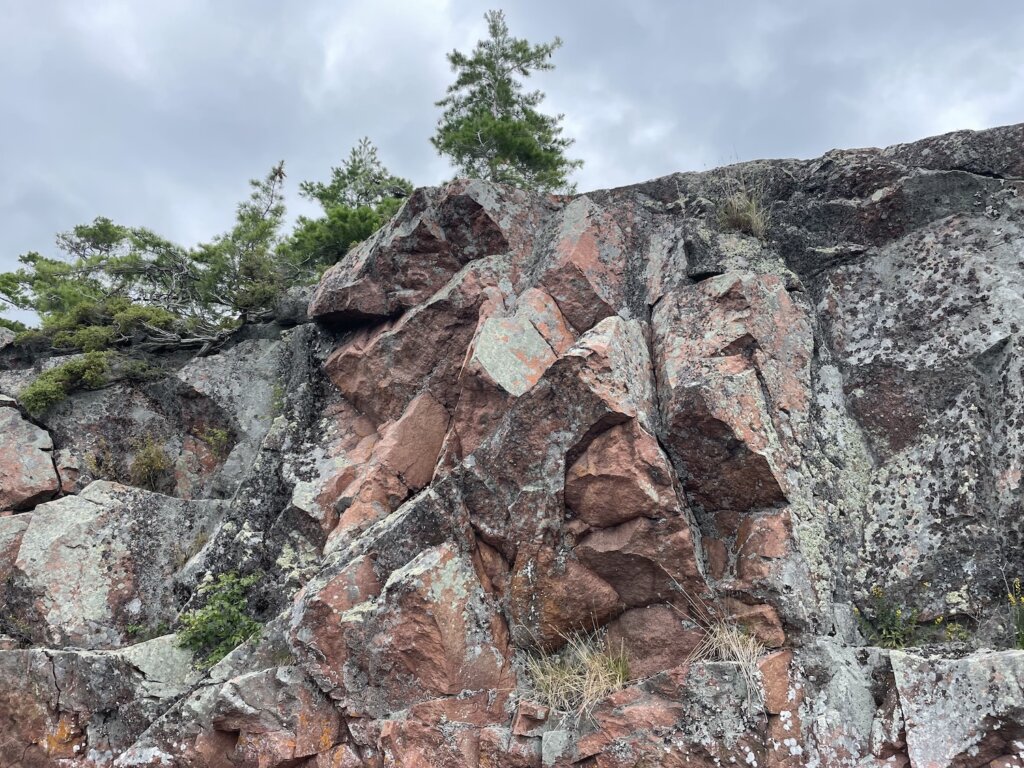
We were told by some other cruisers that this is one of their favorite stops so we were excited to check it out! The bay is deep and there are not many suitable spots to anchor. When we arrived there were two boats stern-tied in the perfect, 20-25ft deep spot. We drove around a bit but couldn’t fit a spot where we felt comfortable stern-tieing. There was also a pretty strong blow forecast the following day so we decided to continue on towards an anchorage we knew we’d be safe in. If you can get a spot here it would be a lovely place to stay! There are beautiful rock cliffs along the northern edge of the bay. Beautiful to drive through as well even if you don’t plan to stay.

Eagle Island

We anchored in the large bay on the northeast side of the island. This is a very large bay with plenty of room. It’s beautiful, with a small rocky island in the center. We enjoyed paddling along the shore around the bay. We were planning to stay here more than one night, to ride out a big blow but the forecast was down-graded so we decided to move on.

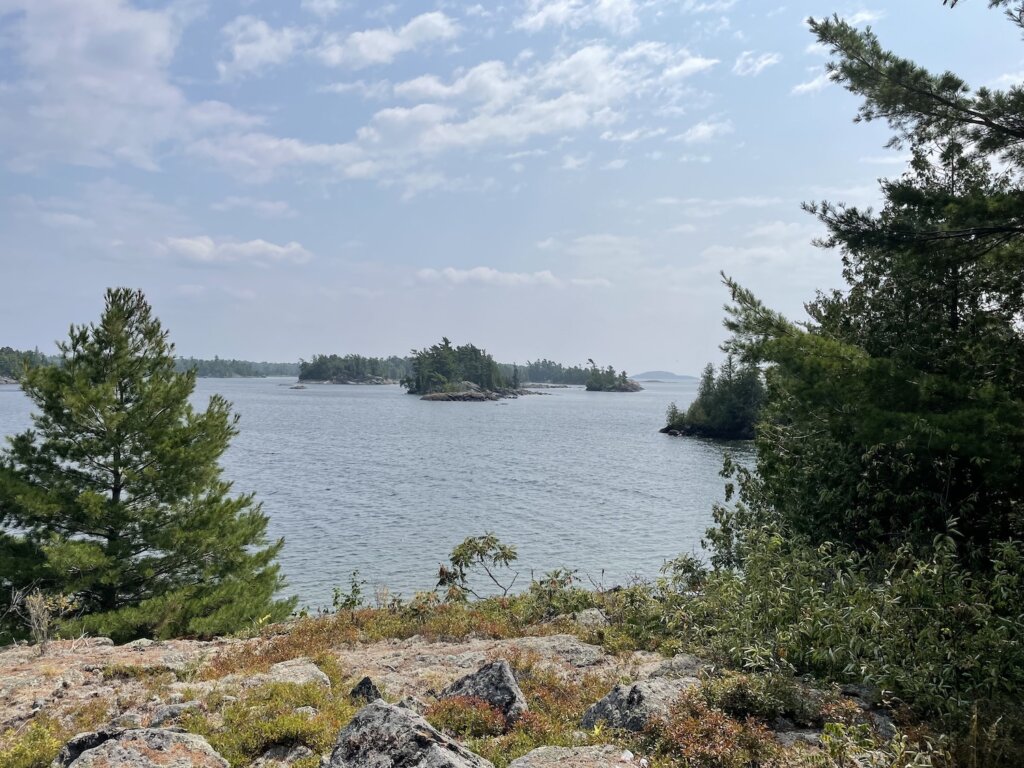
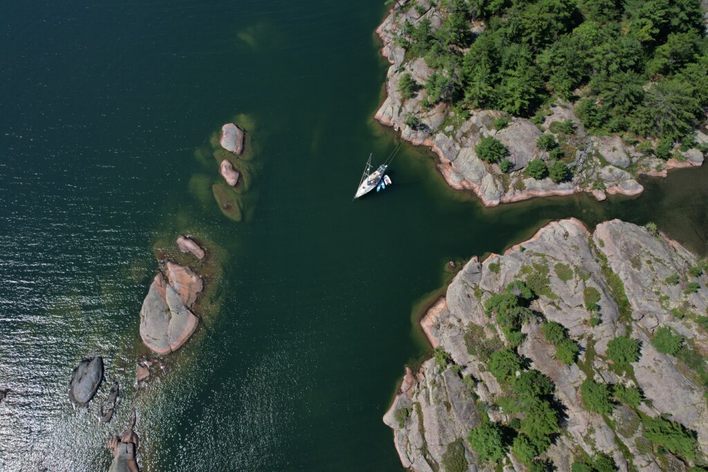
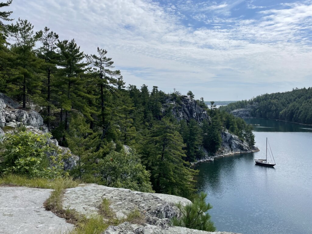
Fox Island/Fox Harbour

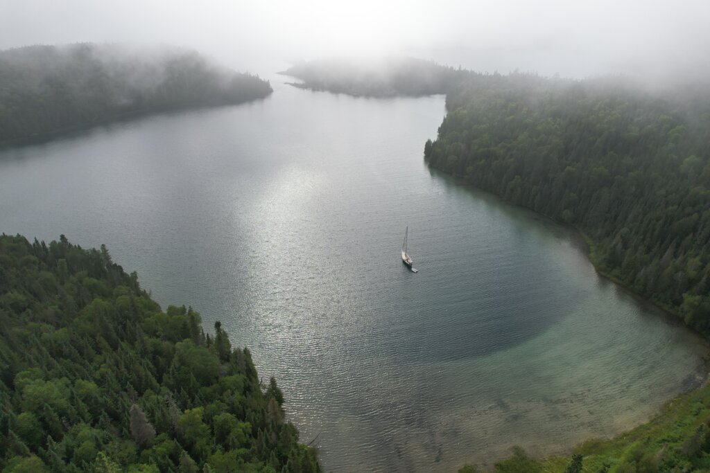
This place was another one of our favorite stops! We would highly recommend it if you can get a spot! Towards the end of the channel, there is a large opening/pool that 2-3 boats could swing on anchor. We chose to stern-tie along the rocky shore in the channel as two boats were already anchored in the pool. We absolutely loved this spot! We were on the other side of some rocks so we basically had the place to ourselves, unable to see the other two boats. There is a labyrinth of small, rocky channels to explore! Perfect for paddle boarding or kayaking. Entering on a calm day is highly recommended. The channel is about 250 ft wide at its narrowest with rocks and shoals to look out for as you enter.

South Benjamin Island

This island is one of, if not the most popular stop among cruisers in the North Channel. This island is beautiful and the rocky hills are not too steep so there is plenty to walk around and explore! There are two major anchorages on the island and then several, smaller coves you could stern-tie or spider-web into. We stayed in the southwest anchorage. There were at a maximum, 10 other boats in the anchorage. Everyone had enough room but we were definitely closer to our neighbors here than in other anchorages we had visited so far. Although more crowded, this island is worth a visit! We really enjoyed our time here.

You can also explore North Benjamin from Fox Island or from South Benjamin. The north island is more heavily forested but we found several very pretty, rocky spots to walk along the shore.

Crocker Island

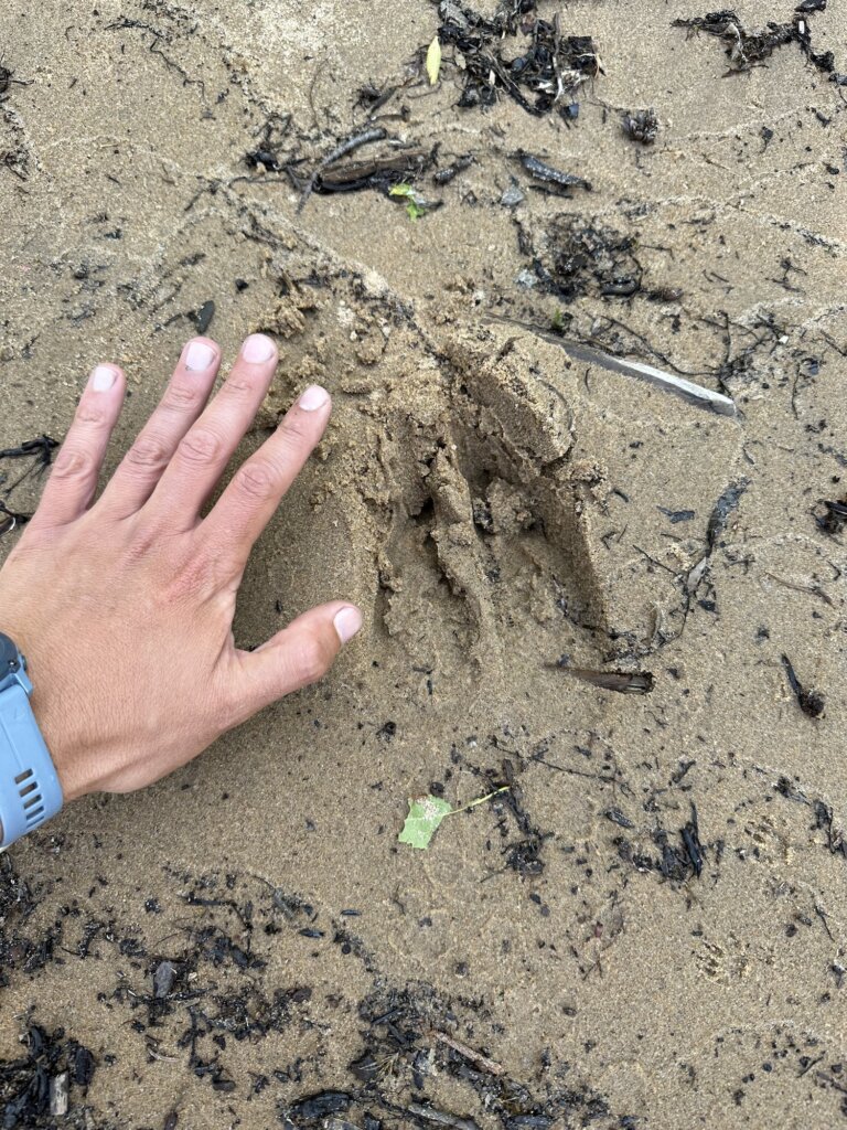
The is the last island in the Benjamin Island group. There is a large bay you could anchor in but be prepared- it is about 40ft deep throughout. We chose to duck into the small bay behind the small island. This smaller bay is about 15-20 ft deep with plenty of areas to stern-tie. We arrived late in the afternoon and there were already 4 boats in the smaller bay. It was pretty tight but we found a place to stern-tie and still give everyone enough room. The hills on this island are higher and steeper. We found fewer hills we could walk all the way up but there is still plenty to explore! And, plenty of mink swimming and running along the shore here!

Little Current

The small town of Little Current is in a perfect location for re-provisioning during a North Channel trip. We stopped in for the afternoon but there is plenty of dock space if you wish to spend the night. From what we could gather online ahead of time, you can leave your boat on the wall for free during the day, it isn’t until you spend the night that they charge you. We arrived mid-morning and grabbed a spot along the wall. We found water available at this spot so we filled the tanks, emptied our trash, and headed into town. A few marina staff walked by and nobody told us we needed to pay so as far as we know we didn’t break any rules!

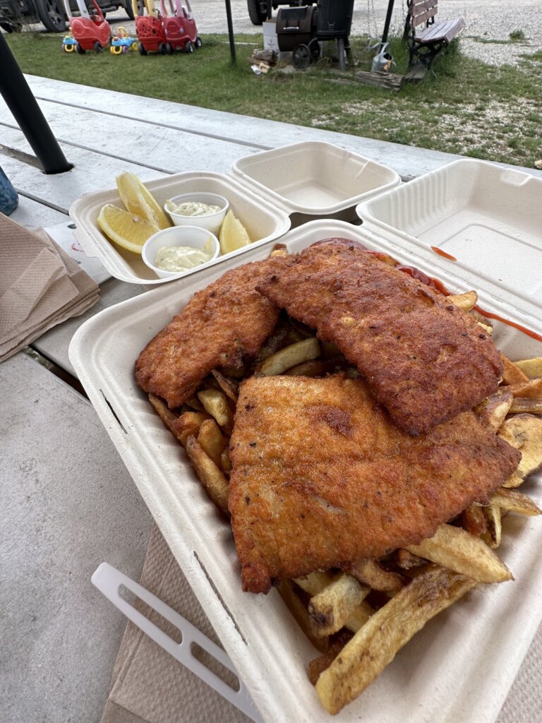
A short walk from the docks there is a Value Mart for groceries and an LCBO for wine, beer, and liquor. The grocery store was pretty well stocked but oddly organized. We did end up finding almost everything on our list. After shopping we headed to The Port for fish and chips. The portions were generous and the food was excellent!

From there we headed back to the boat, waited until the top of the hour, when the swing bridge opened, and then headed out towards our next anchorage. The swing bridge opens on the hour for 15 minutes as long as there is a boat waiting, no need to radio, just don’t miss the opening!

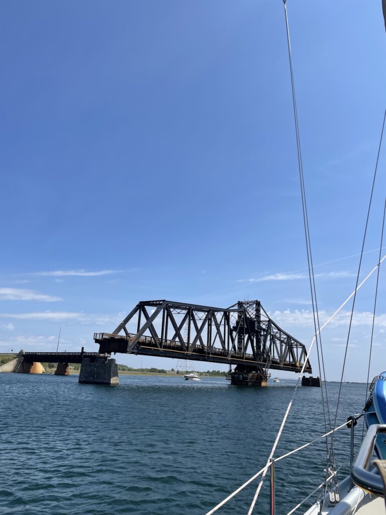
One more note on Little Current- we were told by many cruisers the current is no joke! We couldn’t find an online bouy or anything to tell us real-time current conditions. When we were there we found the current to be about 1 knot going from west to east. If it has been a strong wind for several days this may get worse.

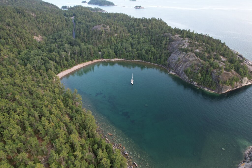
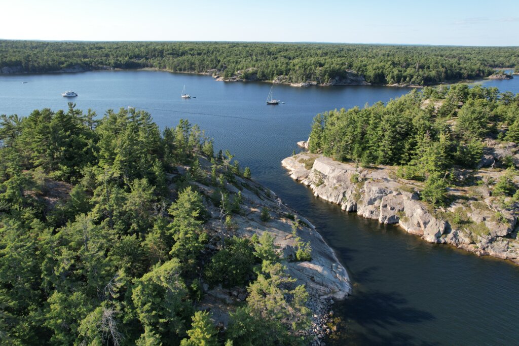
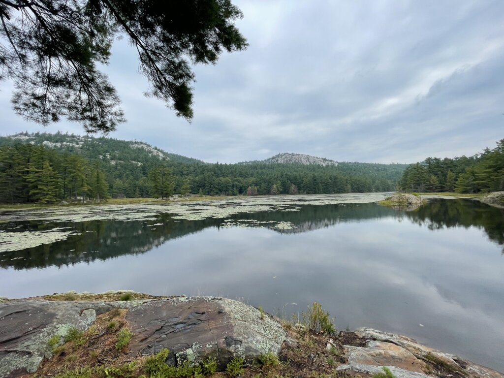
Mary Ann Cove/Baie Fine

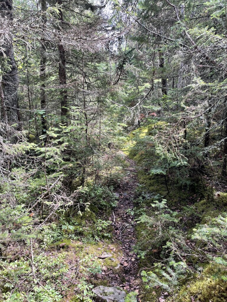
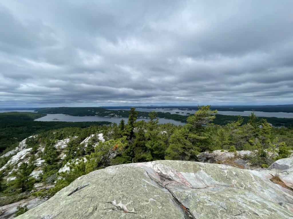
We tucked into Mary Ann Cove to ride out a blow. Baie Fine is a beautiful fjord and well worth a visit! Mary Ann Cove is a perfect, very well-protected spot. From the cove, you can hike up Casson Peak. The hike starts at an old dock and the trail is well-marked with ribbons. The views from the top are incredible and the hike itself is very pretty!
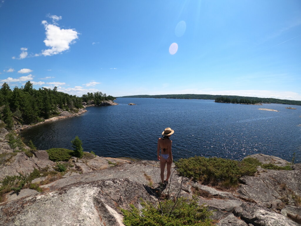
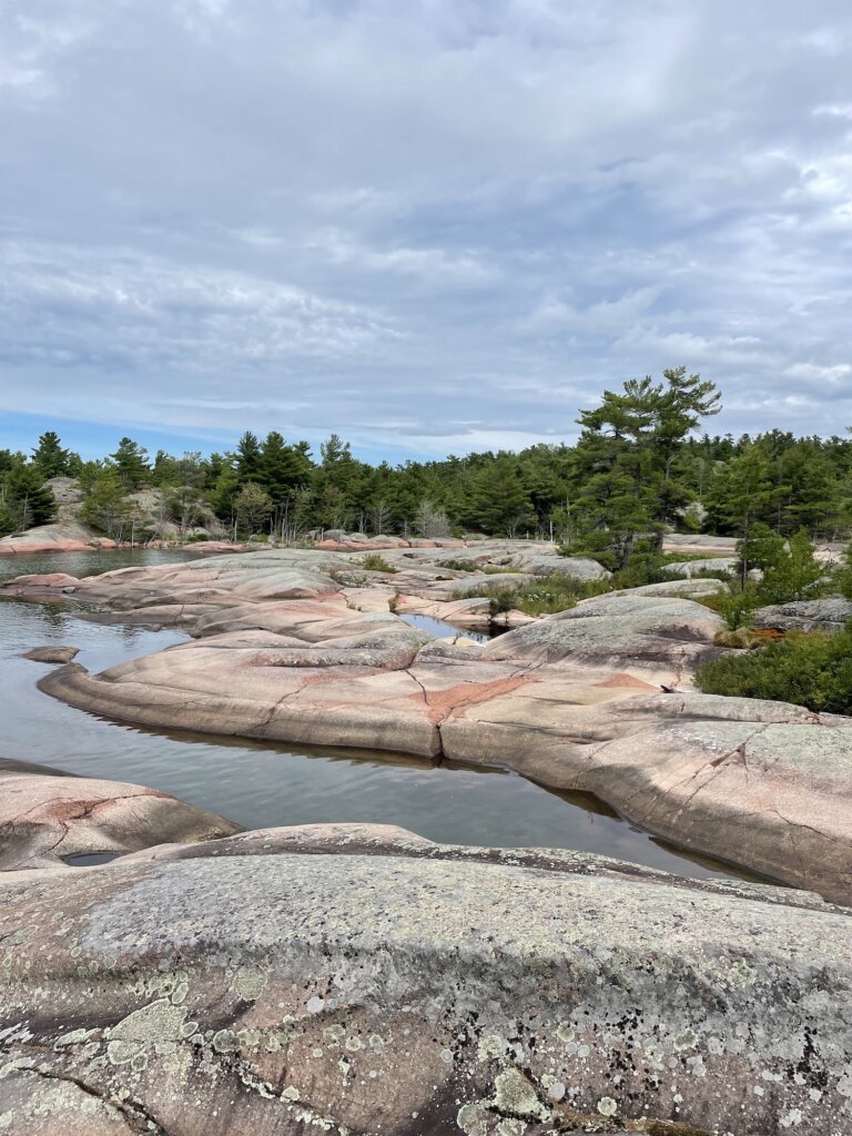
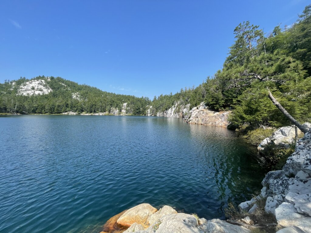
The Pool/Baie Fine

The drive up the fjord is wonderful. The pool is a beautiful anchorage with plenty of hiking. It is weedy but we held well, just be prepared to clean off your anchor when you pull it up! From an old dock on the north shore, you can access trails that are part of Killarney Provincial Park. The hike to Topaz Lake is a must. This is the highlight of this anchorage. Do not miss it! We also hiked along part of the La Cloche Silhouette Trail to Artist Lake and then to Cave Lake. This trail is a nicer overall hike than the path to Topaz Lake. Artist Lake and Cave Lake are both very pretty but Topaz is definitely the prettiest. Topaz Lake is also clear enough that we jumped in. The other two lakes we wouldn’t want to swim in.

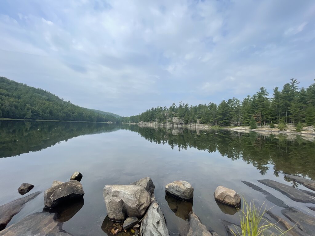
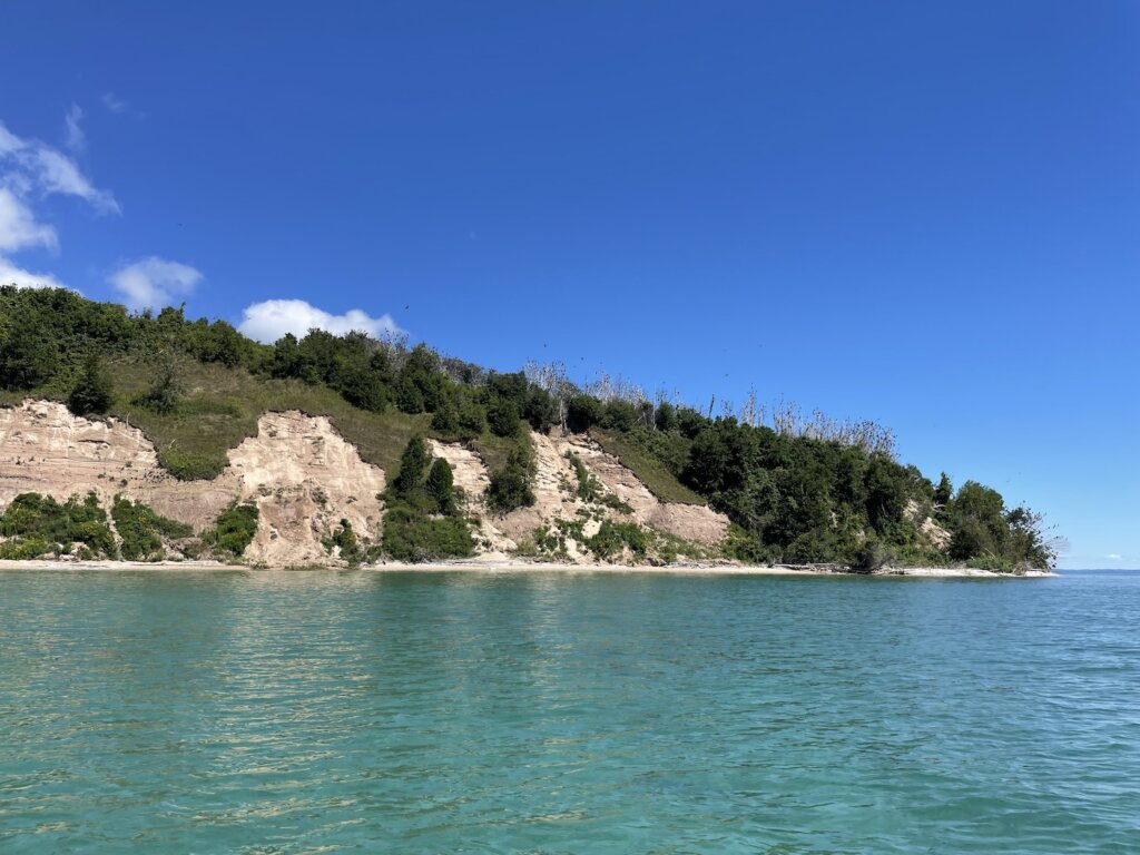
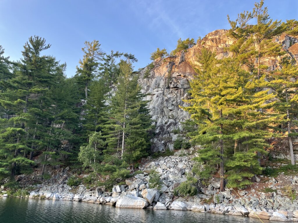
Covered Portage Cove

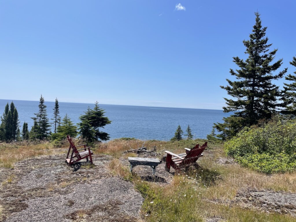
This is another very pretty anchorage! It is shallow, depths are about 7-10ft throughout. There are tall, white cliffs along the edge that you can hike up to get great views of the anchorage! We also saw otters and beavers along the shores. This is a popular spot so chances are you won’t have it to yourselves. We were the 11th boat when we arrived but people came and went, we never had more than that. There is plenty of space and there is an outer anchorage as well if it’s too crowded for you.
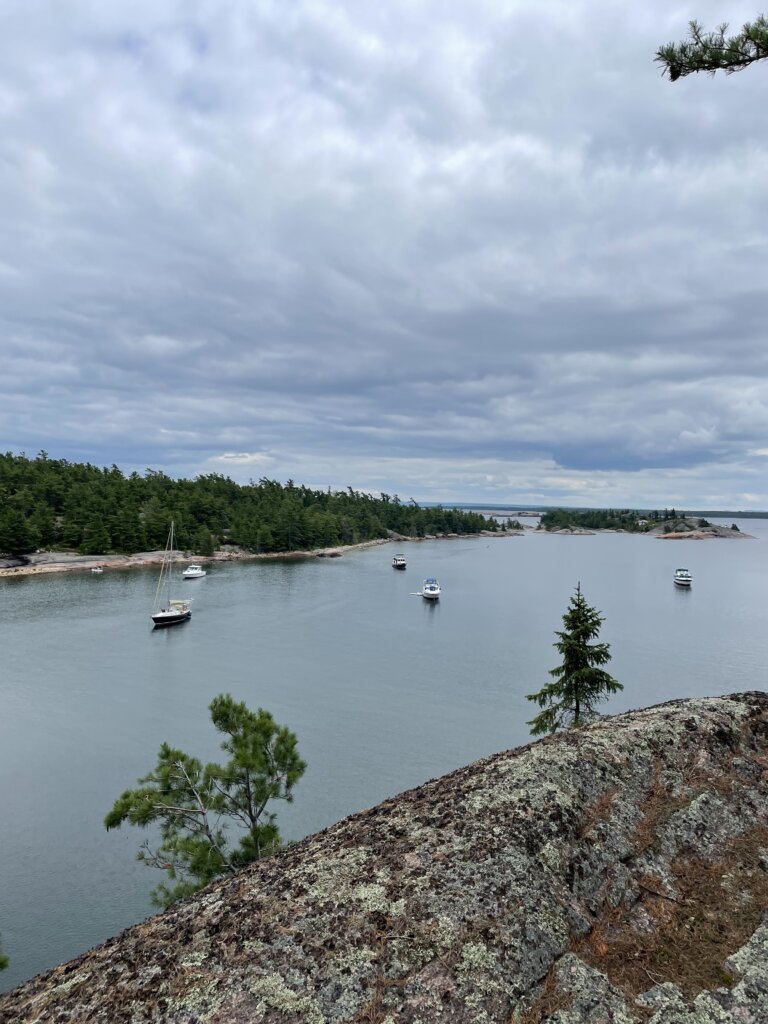
Killarney

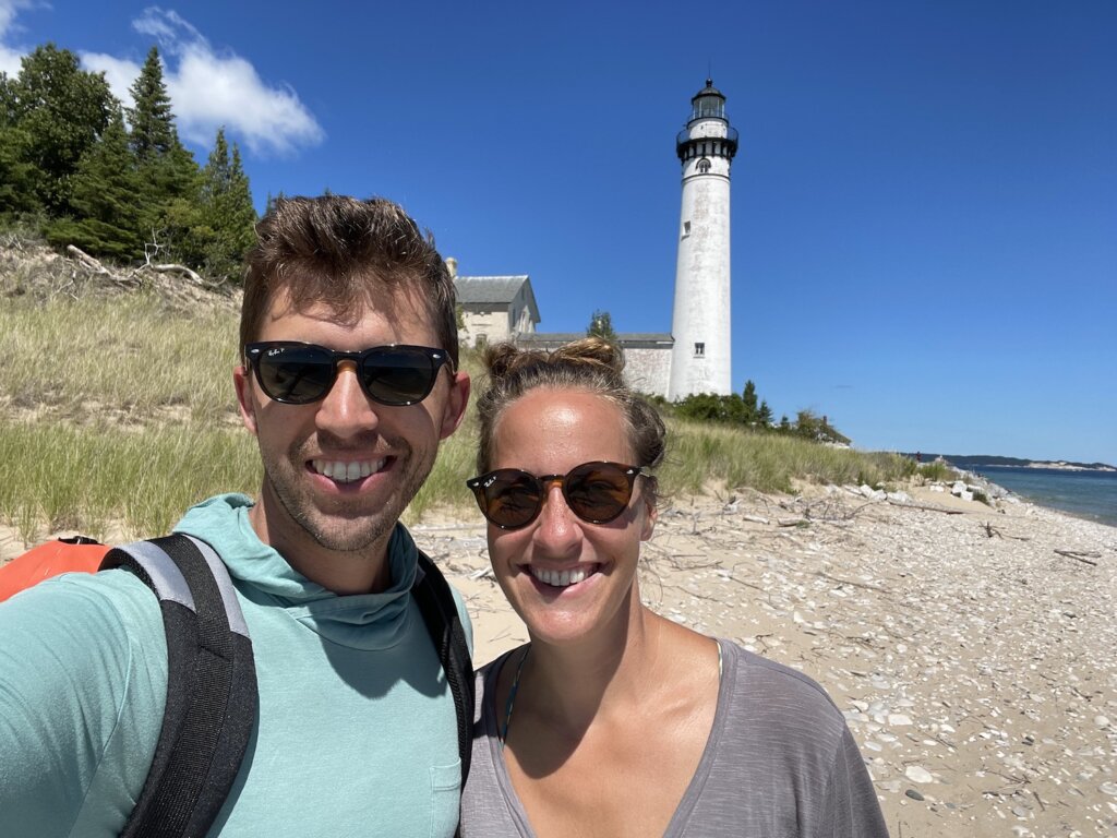
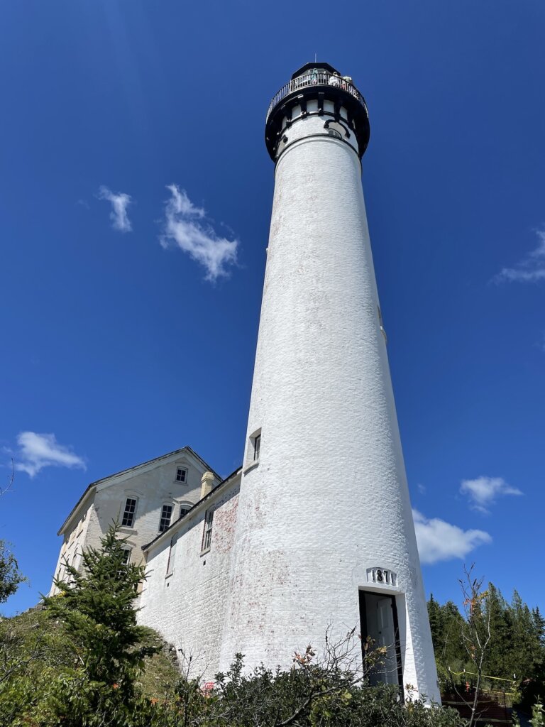
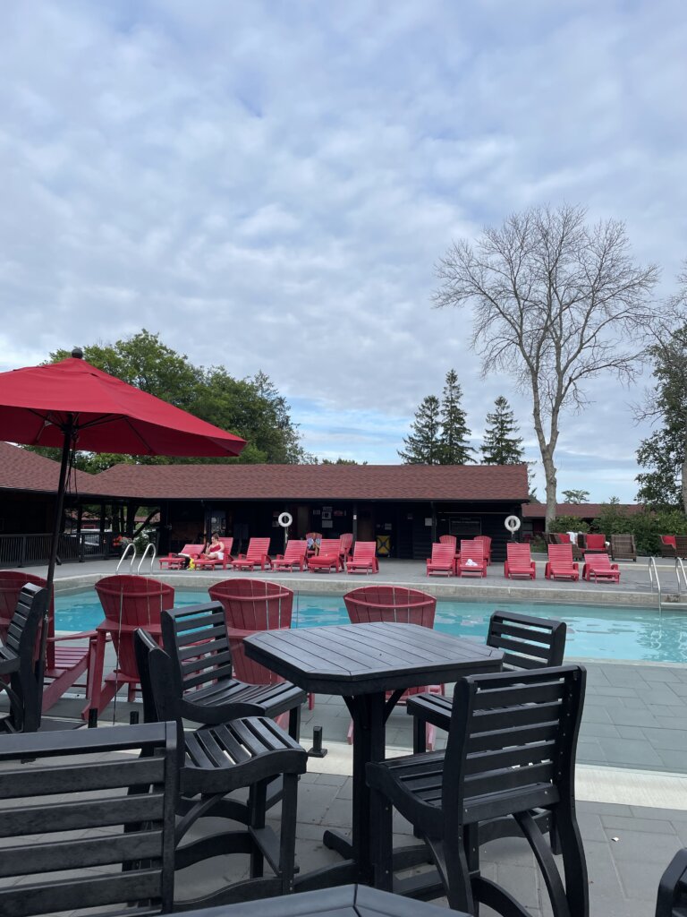
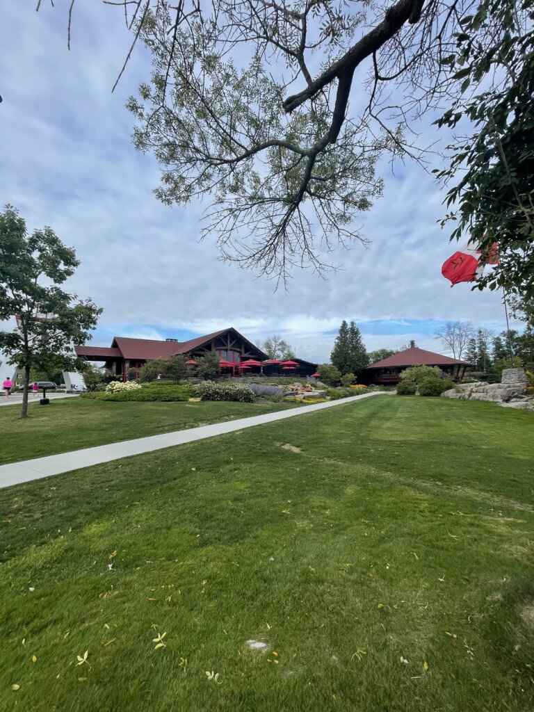
We were told by several cruisers to stay at the Killarney Mountain Lodge. A slip costs $2 Canadian per foot plus a $10 fee for use of all of their amenities. There is a pool, sauna, and free laundry (although only one washer and one drier). The lodge also has several restaurants on-site. We also really enjoyed the short hike to the lighthouse from the property. It really is a nice place to stay after being anchored out, away from towns, stores, and restaurants for so long. There is not much in the town itself. We did find a general store that although overpriced had some food and essentials if you need them. There is not a proper grocery store. There is an LCBO for beer, wine, and liquor.

That concluded our time in the North Channel. From Killarney, we continued into the Georgian Bay. There are many, many, more beautiful spots to anchor and explore within the North Channel. You could spend many summers finding new anchorages!

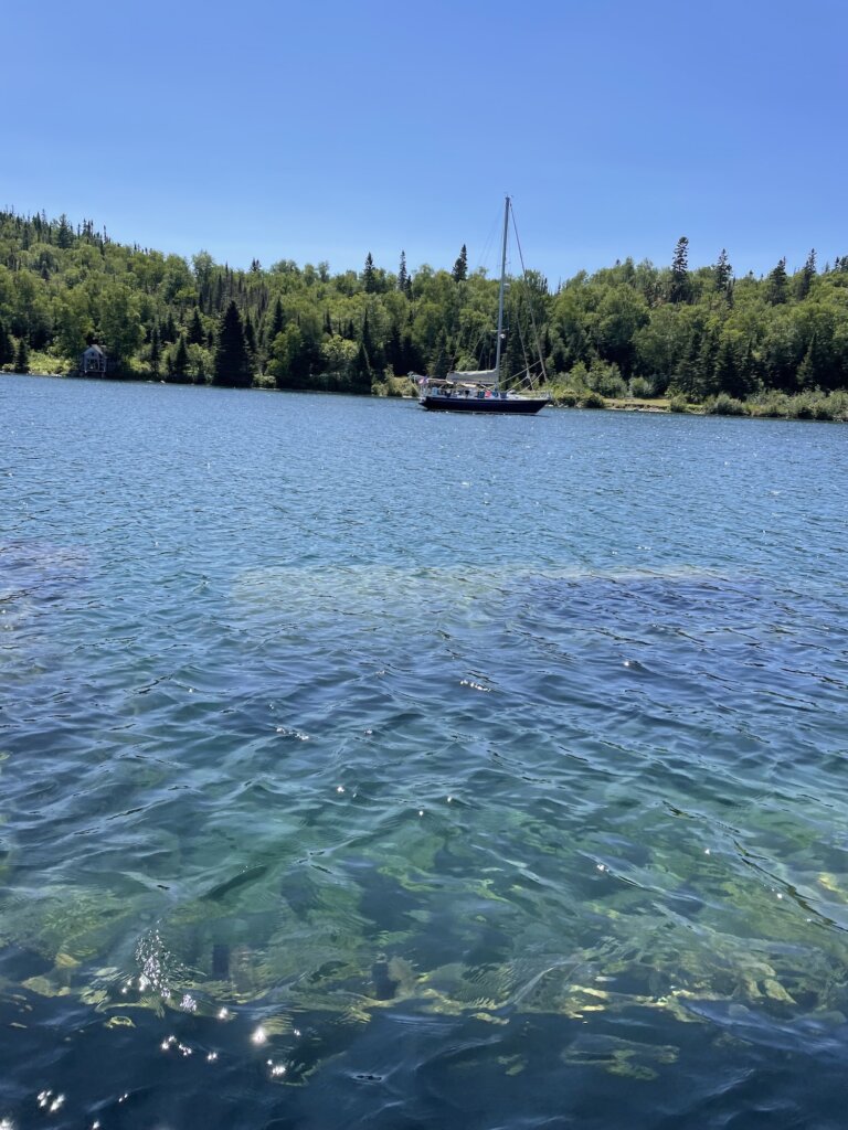
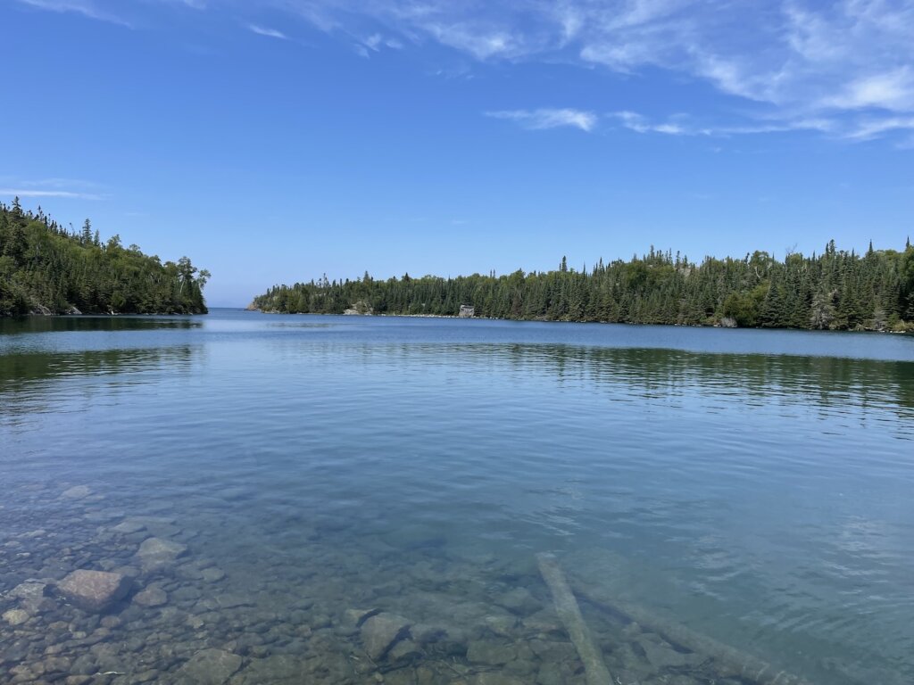
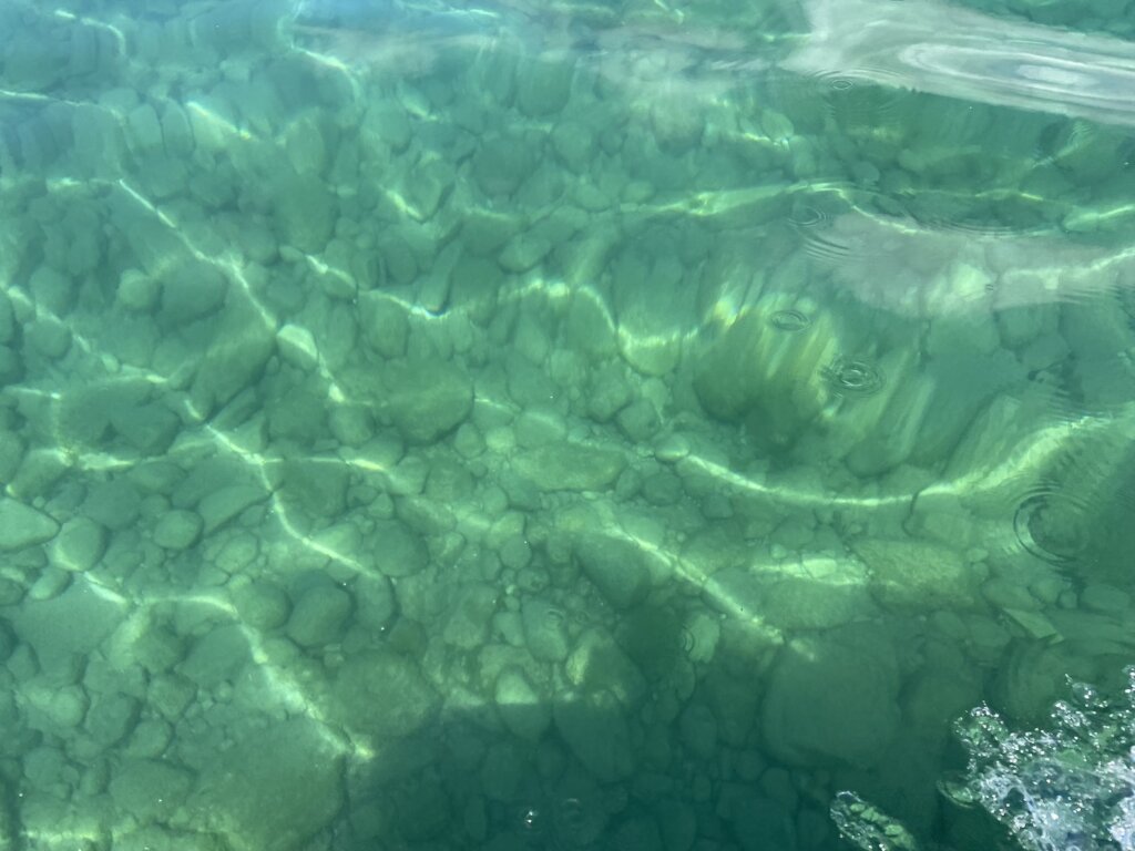
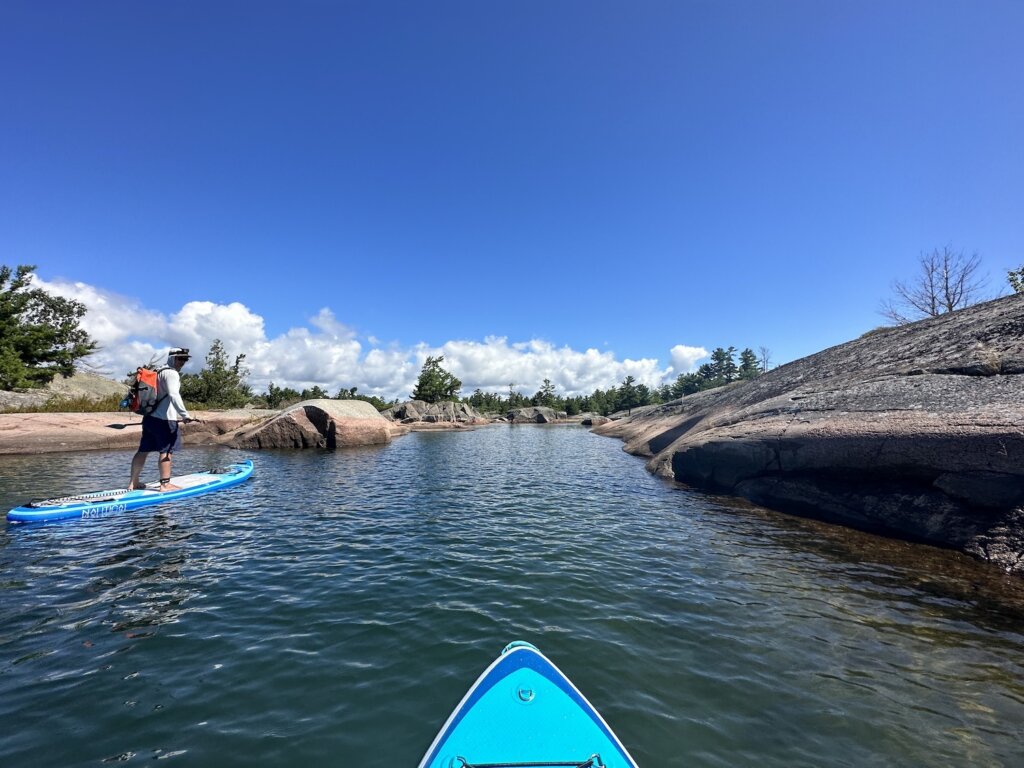
A few random notes- paddle boards or kayaks are a great way to explore here. We used our paddle boards much more often than our dinghy. It’s easier to land the paddle boards or kayaks on the rocky shore and it allows you to explore more places and small channels/coves that the dinghy may not fit. If you have and can bring both, you will likely use both, if you have to choose we would recommend paddle boards or kayaks. At first, we were not impressed with the water clarity in the North Channel but we found it improves the further east, towards the Georgian Bay you go. Lastly, although having stern-tie line isn’t necessary we did find that it opened up more possibilities and we were very glad we had it with us.

Enjoy your trip through the North Channel! Take your time and soak in the views!

Categories
sailing

Cruising the Northeast Coast of Lake Superior

Before we headed out of the Great Lakes with Resande we wanted to explore as much as we could. Lake Superior sparked our interest as we have always found it beautiful when we have traveled there in the past.

We became curious about the Canadian coast since we had already traveled much of the U.S., Michigan’s upper peninsula coast via car/camper trailer. We quickly found that there are not a lot of cruisers who travel this coast so information was sparse. We kept reading that Bonnie Dahl’s book The Superior Way is a must. But then we found it is out of print and very expensive to purchase. We continued looking online for any information and did find a very helpful post on a cruisers forum- Lake Superior cruising advice. With this and some old Great Lakes Cruising Club information we copied from a binder in our marina library before leaving the dock, we set off.

After heading up the St Mary’s River we spent one night in the marina on the U.S. side of Sault St Marie. The next morning we checked into Canada and went through the Soo locks on the Canadian side of Sault St Marie. From there our first stop was in Batchawana Bay. We made it up the coast all the way to Otter Cove before turning around and heading back south.

Batchawana Bay

This is most likely going to be your first stop unless you plan an overnight sail to an anchorage further up the coast. This is a large bay with plenty of places to anchor. We found it to be good, sand holding. It is very well protected from anything but an east wind. There are some buildings along the bay, we didn’t dinghy to shore here so not sure exactly what there is available. It’s a nice stop after getting up the river and through the lock.

Harmony Beach

The next morning we headed further into this area, past Batchawana Island, and anchored in Harmony Beach, just about 5 miles away from our anchorage the night before. Again here is nice sand holding. It is very shallow and sandy close to shore so you do need to anchor a bit further out. This is a beautiful spot right along the coast of the island. It’s a nice place to dinghy around or paddleboard. We were hoping to get a hike in but found that there is no hiking on Batchawana Island, we tried and it is very thickly forested and very, very buggy! We did walk briefly along the shore, seeing some very large animal prints in the sand along the way.

Sinclair Cove

Our next stop was Sinclair Cove. This was our first real wilderness anchorage. It is stunning and we highly recommend it! From the cove, you can take a short hike to visit the Agawa Rock Pictographs. The pictographs were drawn on the rock by the Ojibwe somewhere between 150 to 400 years ago. One of the creatures drawn on the rock is the Mishipeshu- the great lynx. You will need to walk along the rock wall to see pictographs. There are some chains to hold onto as you head out along the edge of the rock. This should be done on a calm day, in large waves this wouldn’t be possible. There are several small, rocky islands around the entrance to the bay which are great to dinghy around and explore. We also saw several bald eagles during our time here.

The anchorage is small. We were alone in the bay until later in the evening when a power boat did come in and stern tie to shore along one of the rocky islands near the entrance. The bay itself has space for maximum 2-3 boats with room to swing on anchor. We had read that the ground here is hard-packed sand, almost concrete-like, and difficult to get an anchor to set. Our 55lb Mantus anchor did slightly dig in and set without backing down much. We have all chain as well so we stayed put for the night. In a strong blow, this would not be a great anchorage.

Gargantua Harbour

We didn’t have much information on this anchorage but it looked like a well-protected anchorage on Active Captain and it was a good distance for a jump from Sinclair Cove. We found it to be good holding, and safe from wind in any direction. We ended up really enjoying our time here. You can hike along the Lake Superior Coastal trail from Gargantua Bay to Warp Bay. It’s a very nice hike through the forest, and towards the end there is a waterfall. Warp Bay is beautiful and there is a large beach here to walk/explore.

We did run into two park rangers during our hike, they politely told us that we should have a park permit to use the trails since this is part of the Lake Superior Provincial Park. Permits can be purchased online. We told them we could do that from the boat and they had no problem letting us continue on with our hike. The next two bays we went to were also within the park boundaries. Anchoring is no problem but once you set foot on land to use the trails, you should have a permit is what we were told.

Gargantua Bay also has a shipwreck that is submerged just under the water. Part of the ship was just barely sticking up when we were there. Ryan did dive on the wreck, the water was 52-54*F while we were here in July so definitely not warm!

In Gargantua, you can also see the remains of an old fishing shack along the edge of the bay and some old gardens or greenhouses. There was at one time a small fishing village here.

On the way out of the bay, continuing north along the coast, you will sail past Devil’s Warehouse island where there is a cave that is said to be where the ocher plant that was used to paint the Agawa pictographs was found. We opted not to sail through Tug Boat Channel due to hearing the depth was shallow in parts but we read other blog posts from people who did sail through and got amazing views of the Devil’s Chair rock formation.

Brule Harbour

The entrance to this anchorage is stunning! It is an amazing anchorage but be aware of deadheads! We saw at least one very large tree floating in the water as we were trying to anchor. Be sure to use a trip line. We got our anchor up with no problem but we did have a very large branch tangled in our trip line. We were able to get it untangled with a boat hook. There is plenty to dinghy around and explore in this anchorage and you are very well protected from wind in any direction. This may have been our favorite anchorage of the trip!

We actually met another boat here. A tug boat from the Georgian Bay. We had a nice chat with this older couple in the evening. They had been on their trip for 40 days, they went straight across to Thunder Bay and were slowly working their way back. They shared some great intel on our upcoming anchorages.

Old Woman Bay

While we were anchored in Brule Harbour we took the dinghy to Old Woman Bay. We had read it is a great place to drive through, beautiful but no anchorage. There is a large cliff face along the edge of the bay that drops straight into the water. After taking time to dinghy past that and take lots of pictures, we landed the dinghy on the large beach and headed to shore for a hike. Across the street from the parking lot here is Nokomis Trail. This 5K loop offers several great lookout points with amazing views of the bay.

Otter Cove

We had heard great things about this anchorage! There is a lot to explore here! It sounds like this is a more popular anchorage from what we read but once again we had the place to ourselves! On a calm day, you can dinghy over to Cascade Falls which dumps right into Lake Superior. If you are willing to scrabble up the rocks a bit you can see a pool in between the upper and lower falls. It’s a beautiful sight and we would highly recommend seeing it!

Old Dave’s Harbour

Old Dave’s is located on Otter Island, very near Otter Cove. We visited Old Dave’s with the dinghy while we were anchored in Otter Cove. We read mixed reviews on if we could safely get our 6ft draft sailboat back here so we decided not to risk it! After going through with the dinghy we feel it would maybe be doable but there is shoaling along each side of the entrance which would make it tricky.

Once inside Old’ Daves, there is an old dock to tie the dinghy to along the shore. There are some old coast guard buildings near the dock. You can walk along a trail supposedly all the way to the lighthouse but it quickly became very overgrown so we ended up dinghying around the island to the lighthouse. There are plenty of rocks to walk around and explore on the outer side of the island! This is a very pretty spot!

Otter Cove ended up being our furthest north anchorage. We had debated continuing on to Allouze Island and the Slates but the weather forecast didn’t look great for that. We read the anchorages in the Slates are all very deep and we didn’t see any hiking trails on AllTrails. We have heard the Slates are beautiful but we ultimately turned back south to explore some different areas with more hiking and things to see.

Quebec Harbour Mitcipicoten Island

This is another more popular anchorage base on what we had read. We saw three other boats here in total and a few small fishing boats. On our final night here we had a lovely cocktail hour and dinner aboard SV Victoria Jean, making new friends who hopefully we will see again on the water someday!

In Quebec Harbour, there are three visible shipwrecks in the anchorage. We struggled to find much information on them when we looked them up online. Two of the wrecks are above water, the third is submerged. Along Davieaux Island at the entrance to the harbour, there is a nice trail that takes you up to the old lighthouse. There is an old dock to tie the dinghy up while you explore. The views out to Lake Superior here are stunning!

There is also an old, abandoned fishing village in the anchorage. We wandered around exploring what we could. There is somewhat of a trail but everything is very overgrown. There are no formal trails on Mitchipicoten Island and from what we could see it looks very thickly forested so we only explored close to shore.

We were hoping to get a glimpse at some caribou while we were in Quebec Harbour but we had no such luck! We did see many, many ducks and loons swimming in the harbour and a few bald eagles. This anchorage has great holding, sand bottom, and is protected from the wind in all directions. We were told by some fishermen that there is good pike and trout fishing but we didn’t try our luck at it.

Resources

There is not much in the way of cities/towns/resources along this stretch of coastline. We were told that Buck’s Marina in Wawa will have fuel, diesel, water, and pump out. We read and were told the people at Buck’s are willing to help with whatever you need if they can.

We didn’t actually need to reprovision during our time along this coast of Lake Superior. We carry 80 gallons of diesel in our tanks plus three jerrycans. We filled our dinghy gas tank and had one extra jerry can for that. We have a composting toilet so we don’t need pump out. We did a big grocery run in Sault St. Marie so we were well stocked on this trip. We carry 115 gallons of water in our tanks. Given the number of filters we have onboard, we felt fine with filling our tanks with Lake Superior water as we began to run low.

In our research before this trip, we kept hearing this coastline described as wilderness sailing and that is exactly what it is. The scenery is stunning! You will most likely have these amazing anchorages to yourself. But you need to come prepared and have what you need onboard.

If we had more time we would have loved to keep going north, further along the coast. Our goal is to leave the Great Lakes and head out the Erie Canal so we had to get going back south. This is definitely a place we would love to return to and cruise again someday!

Categories
sailing Travel

South Manitou Island Adventure

We visited South Manitou Island on our sailboat this summer and we absolutely loved it! We stayed on anchor in the bay but you can also visit via the Ferry for a day trip or camp overnight. Either way this is a beautiful summer destination!

South Manitou island is part of Sleeping Bear Dunes National Lakeshore. You can read the story of how the Sleeping Bear Dunes got their name here. North and South Manitou islands are said to mark the spot where two bear cubs disappeared. The large dune on the Michigan mainland is said to represent the mother bear. There are two versions of the story but both describe a mother bear and her two cubs coming from the Wisconsin shoreline across the lake to Michigan.

South Manitou island is uninhabited and there are not many services on the island. You should be prepared to pack in and pack out everything you need. The Ferry runs from Leland. Round trip tickets will cost $45 per adult and $23 for kids 12 and under. You can find more information and book your Ferry here.

There are three campgrounds on the island and camping is not permitted outside of these campgrounds. All of these campgrounds have vault toilets, no water, no electrical. You will need a backcountry permit to camp on the island. You can find more information here.

The main attraction on the island is the scenery! From the lighthouse you can hike the main trail to a few specific things worth seeing.

ShipWreck:

First there is the shipwreck. The wreck of the Francisco Morazan is visible above the water. The ship ran aground in November of 1960 on voyage from Chicago to the Netherlands. The crew was saved, the owner of the ship was never heard from and so the ship sits just off the island to this day. There is a great lookout point from the trail where you will get nice views of the wreck. If you are visiting by boat you can get even closer but visiting the wreck from the water. We took our dinghy over to the wreck and drove all around it which was very cool! It has been taken over by a large colony of birds and it does not smell good when you do visit up close!

Old Growth Cedars:

The next stop if you hike further down the trail is to see the old growth cedars. This group of cedar trees are some of the oldest and largest white cedars in the world. Many of them are 300-500 years old! This was a really pretty portion of the hike! It was quite buggy while we were there so we didn’t stop moving for long! Be prepared and bring some bug spray or wear long sleeves/long pants.

Sand Dunes:

If you hike further you will get to the dune hike. This will lead you up to the top of the sand dunes where you will get amazing 365* views of the entire island. It seemed like the trail just kept going all throughout these dunes. We would have loved to keep hiking around this area if we had more time on the island. We stopped here and turned around as we had already hiked several miles more than we thought we were going to for the day and wanted to get back to the boat for lunch.

Ghost Towns:

You can also hike to the old Village originally settled in the mid 1830s. The village included a house, blacksmith shop, grocery store, barn and a railroad for the steamers to haul wood from the dock inland. We didn’t hike this way so cannot speak to how much of these things are left visible. You will see the signs for the village along the main trail if you are interested in seeing what’s left. You can also hike to the old weather station which again we didn’t do as we had already hiked quite a bit!

Lighthouse Tour:

There are tours of the lighthouse that run if you do want to walk up to the top. We didn’t do this but friends who did said the views from the top were great and it was worth it to do the tour.

The Water and the Beach:

The water is of course the other reason for visiting the island. The water is so clear and changes from turquoise to a beautiful deep blue as it gets deeper. We enjoyed taking the dinghy around the island, taking in the views. The anchorage/bay is a great place for paddle boarding or kayaking if you are traveling by boat and can bring these items with you. Lake Michigan does take while to warm up, we visited in early August and the water was comfortable in the low 70s for swimming.

Our course, taking some time on beach is also a must! The beach is a mix of sand and rocks so wearing some type of water shoe or sandal will likely make your beach walking more comfortable.

We would have loved to have more time here to hike further, explore and just relax and take in the views! Unfortunately we had to take our weather window and sail home so we only had two days on the island. While that is certainly enough time to see most of the main attractions more time is always better when your in such a pretty place!

Have you visited South Manitou Island? What did we miss? What are your favorite  Lake Michigan destinations? Leave us a comment below.