Categories
sailing Travel

South Manitou Island Adventure

We visited South Manitou Island on our sailboat this summer and we absolutely loved it! We stayed on anchor in the bay but you can also visit via the Ferry for a day trip or camp overnight. Either way this is a beautiful summer destination!
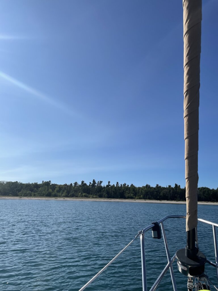
South Manitou island is part of Sleeping Bear Dunes National Lakeshore. You can read the story of how the Sleeping Bear Dunes got their name here. North and South Manitou islands are said to mark the spot where two bear cubs disappeared. The large dune on the Michigan mainland is said to represent the mother bear. There are two versions of the story but both describe a mother bear and her two cubs coming from the Wisconsin shoreline across the lake to Michigan.

South Manitou island is uninhabited and there are not many services on the island. You should be prepared to pack in and pack out everything you need. The Ferry runs from Leland. Round trip tickets will cost $45 per adult and $23 for kids 12 and under. You can find more information and book your Ferry here.
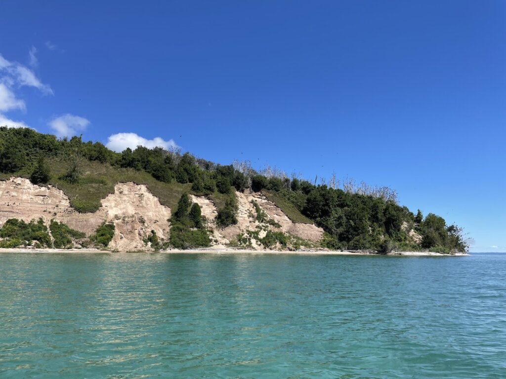
There are three campgrounds on the island and camping is not permitted outside of these campgrounds. All of these campgrounds have vault toilets, no water, no electrical. You will need a backcountry permit to camp on the island. You can find more information here.
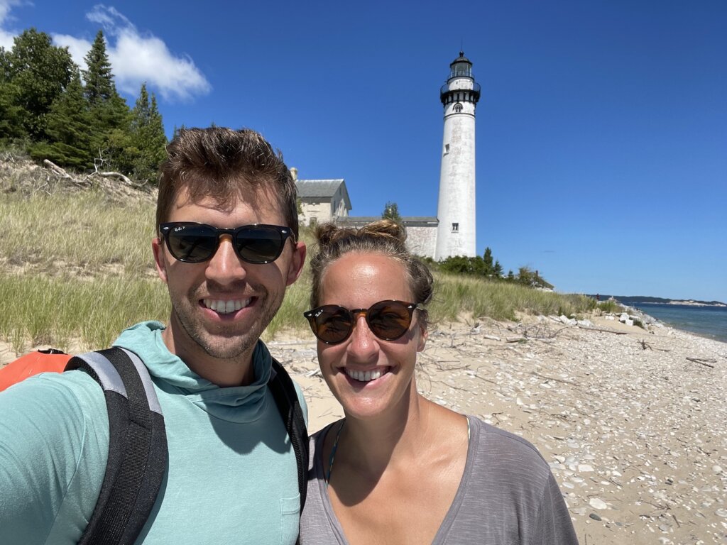
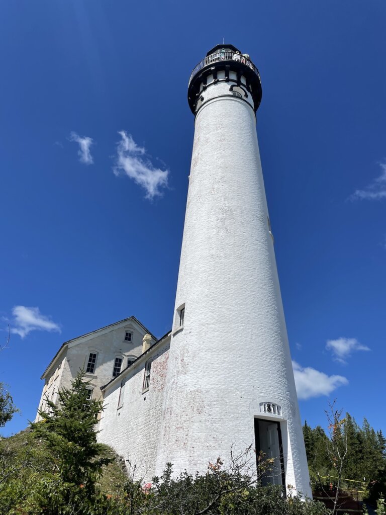
The main attraction on the island is the scenery! From the lighthouse you can hike the main trail to a few specific things worth seeing.

ShipWreck:

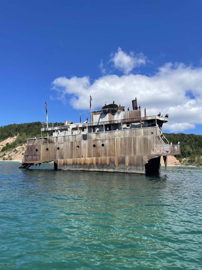
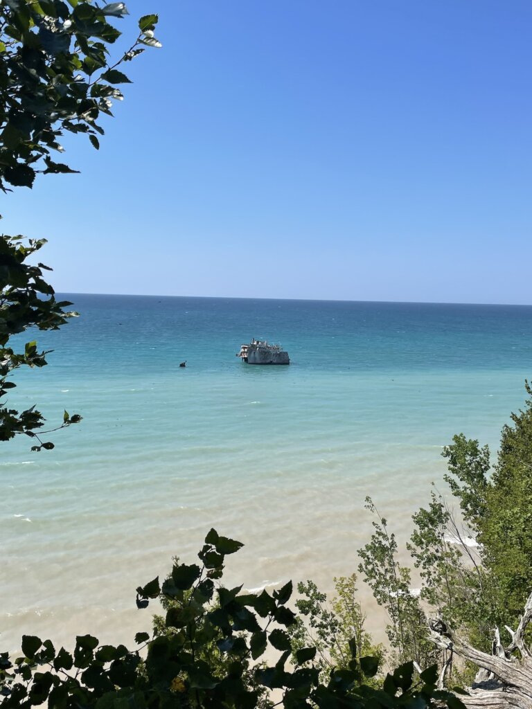
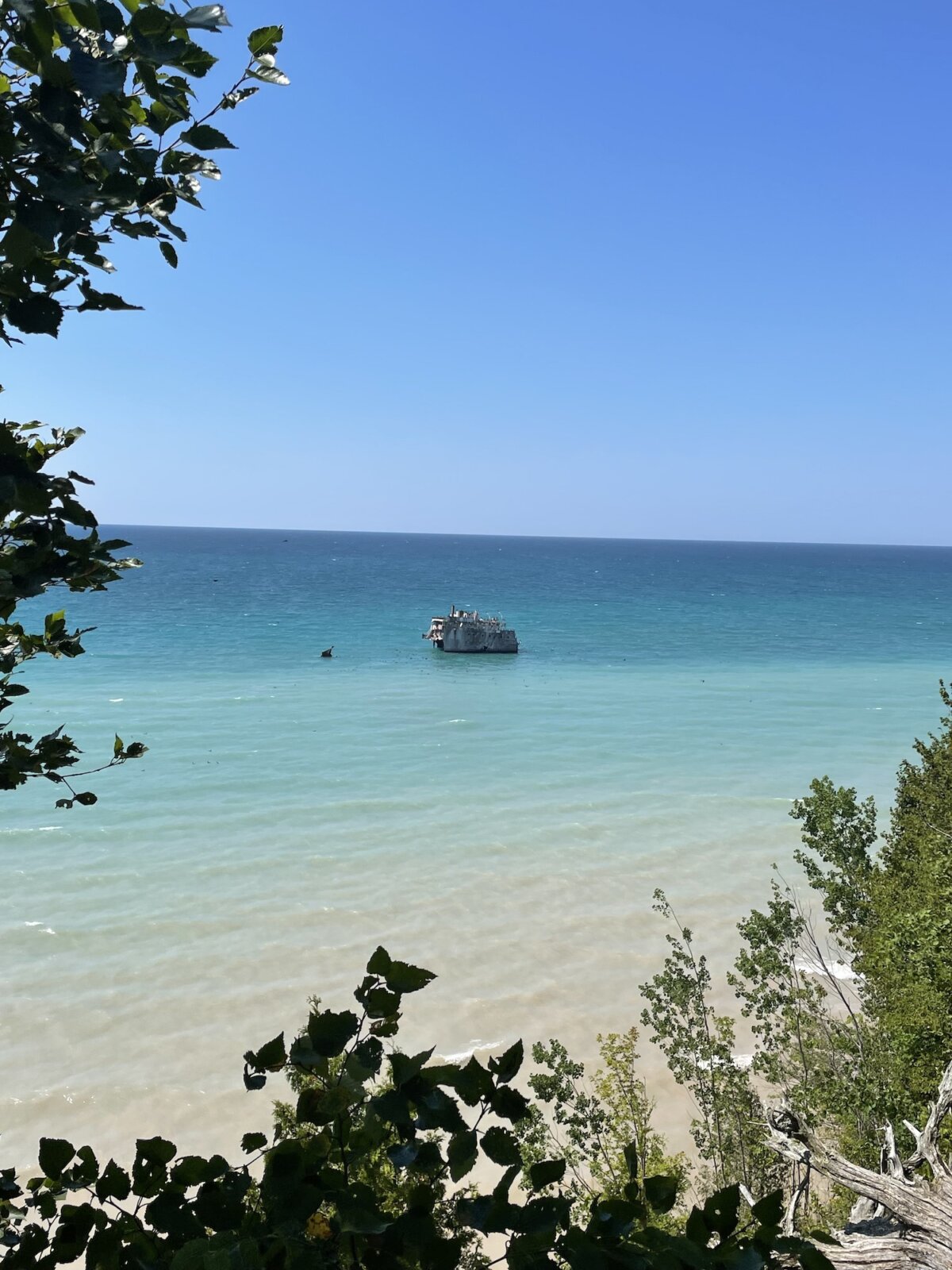
First there is the shipwreck. The wreck of the Francisco Morazan is visible above the water. The ship ran aground in November of 1960 on voyage from Chicago to the Netherlands. The crew was saved, the owner of the ship was never heard from and so the ship sits just off the island to this day. There is a great lookout point from the trail where you will get nice views of the wreck. If you are visiting by boat you can get even closer but visiting the wreck from the water. We took our dinghy over to the wreck and drove all around it which was very cool! It has been taken over by a large colony of birds and it does not smell good when you do visit up close!
Old Growth Cedars:

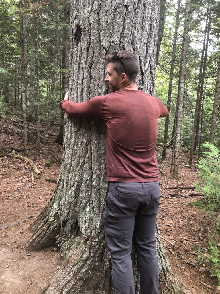
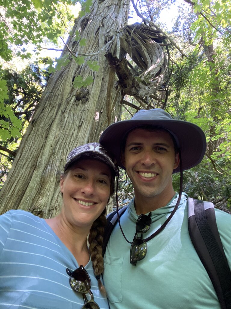
The next stop if you hike further down the trail is to see the old growth cedars. This group of cedar trees are some of the oldest and largest white cedars in the world. Many of them are 300-500 years old! This was a really pretty portion of the hike! It was quite buggy while we were there so we didn’t stop moving for long! Be prepared and bring some bug spray or wear long sleeves/long pants.
Sand Dunes:

If you hike further you will get to the dune hike. This will lead you up to the top of the sand dunes where you will get amazing 365* views of the entire island. It seemed like the trail just kept going all throughout these dunes. We would have loved to keep hiking around this area if we had more time on the island. We stopped here and turned around as we had already hiked several miles more than we thought we were going to for the day and wanted to get back to the boat for lunch.

Ghost Towns:

You can also hike to the old Village originally settled in the mid 1830s. The village included a house, blacksmith shop, grocery store, barn and a railroad for the steamers to haul wood from the dock inland. We didn’t hike this way so cannot speak to how much of these things are left visible. You will see the signs for the village along the main trail if you are interested in seeing what’s left. You can also hike to the old weather station which again we didn’t do as we had already hiked quite a bit!

Lighthouse Tour:

There are tours of the lighthouse that run if you do want to walk up to the top. We didn’t do this but friends who did said the views from the top were great and it was worth it to do the tour.

The Water and the Beach:

The water is of course the other reason for visiting the island. The water is so clear and changes from turquoise to a beautiful deep blue as it gets deeper. We enjoyed taking the dinghy around the island, taking in the views. The anchorage/bay is a great place for paddle boarding or kayaking if you are traveling by boat and can bring these items with you. Lake Michigan does take while to warm up, we visited in early August and the water was comfortable in the low 70s for swimming.
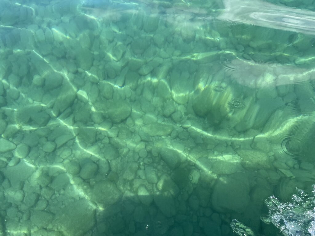
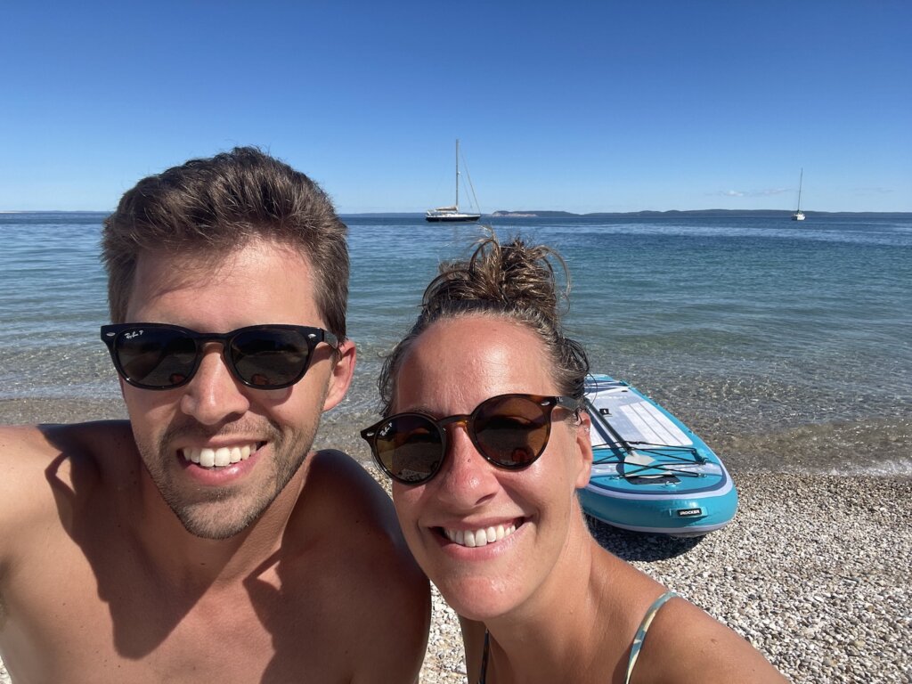
Our course, taking some time on beach is also a must! The beach is a mix of sand and rocks so wearing some type of water shoe or sandal will likely make your beach walking more comfortable.

We would have loved to have more time here to hike further, explore and just relax and take in the views! Unfortunately we had to take our weather window and sail home so we only had two days on the island. While that is certainly enough time to see most of the main attractions more time is always better when your in such a pretty place!
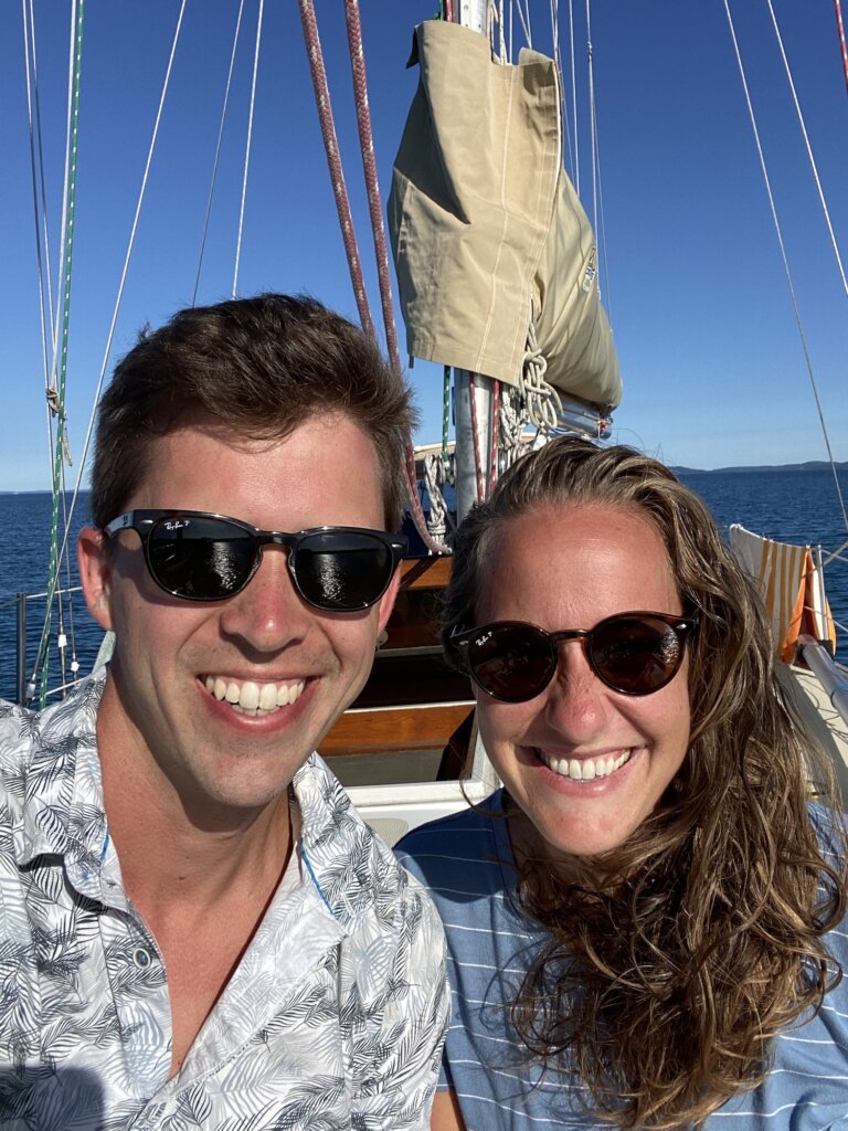
Have you visited South Manitou Island? What did we miss? What are your favorite  Lake Michigan destinations? Leave us a comment below.
Categories
Overlanding Travel

Road Trip through the Western Upper Peninsula

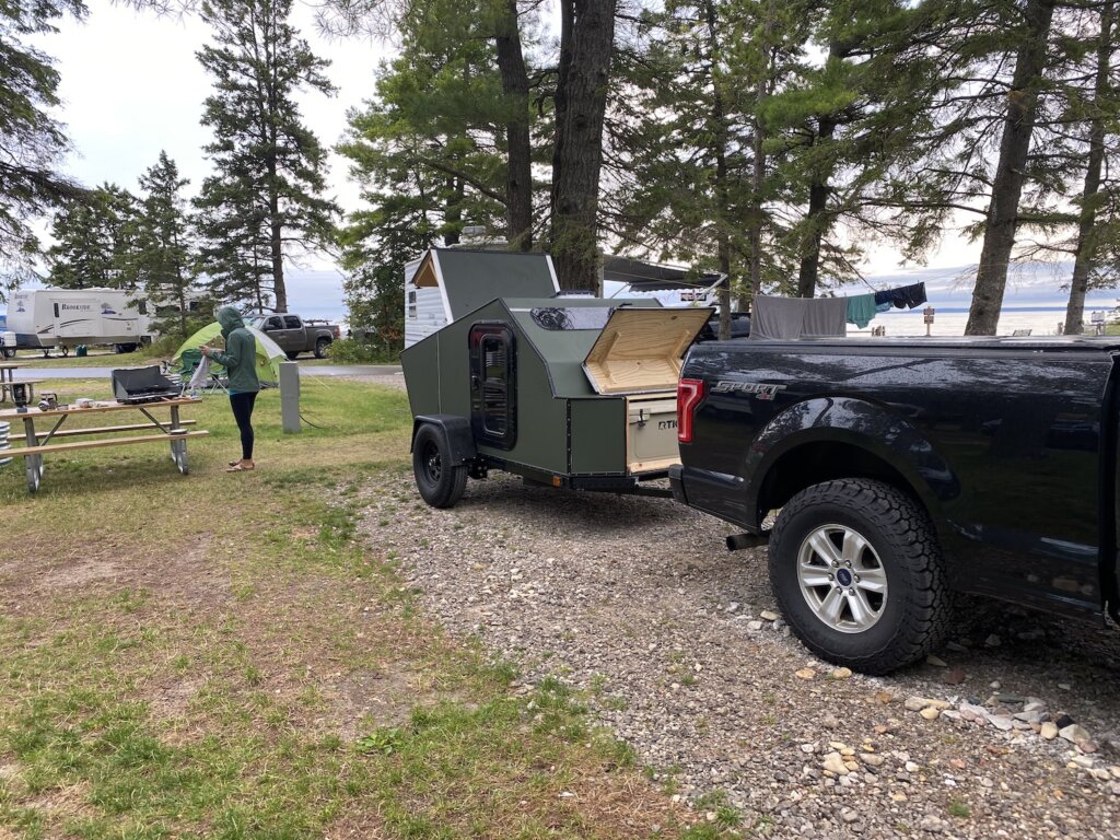
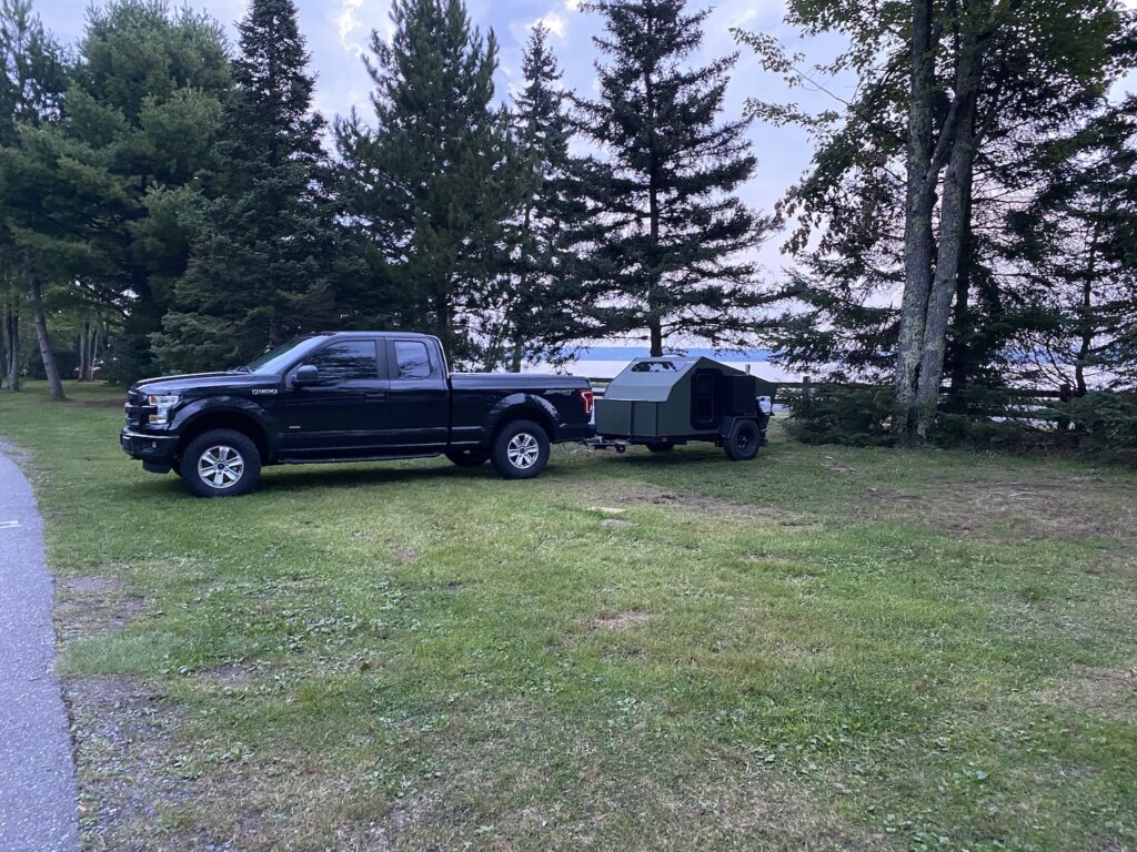
The first time we went to Michigan’s upper peninsula we saw pictured rocks and Tahquamenon falls and that was about it. So this time we decided to go further and see more of the western part of the peninsula. This was our first trip with our home built teardrop trailer- check out our post for lessons learned about the teardrop on this trip. Our intent going forward with our teardrop is to do more dispersed camping away from crowded campgrounds. But since this was our first trip out we did stay at campgrounds each night just in case something went wrong with the trailer. To reserve your campsite at any Michigan park go to this website: https://www.midnrreservations.com


We headed north after work and made our first stop at Wilderness State Park just south of the Mackinac bridge. We got there after dark and departed in the morning so we didn’t spend much time here. The facilities were nice and we did have a spot close to the water which was nice. It is a standard campground so spots are pretty close together. There is a dark sky viewing area in the park. We enjoyed a great night sky view even just from the campground area. 

The next day we crossed the Mackinac Bridge and into the upper peninsula. Our first stop on this road trip was Presque Isle Park in Marquette which was still a few hours drive away. We got to Presque Isle in the afternoon and enjoyed the short hike around the park. The hike isn’t that long but does offer some great views of the lake and the rocky cliffs as you go along. It was a worthwhile stop if you are driving through the Marquette area. While we did enjoy the hike and the views we did think that there would be more to this park. The hike around the park is really the highlight so if you aren’t passing through the area it probably isn’t worth a drive out of your way. 


That night we stayed at Baraga State Park. We picked a spot in the row closest to the water when we looked online. What we didn’t realize is that the park is just off a very busy road so all night we heard lots of cars (and logging trucks) going by. Other than that the camp spot itself was a bit more spaced out than at Wilderness state park and the showers were nice. Overall this was not our favorite park to camp in. 


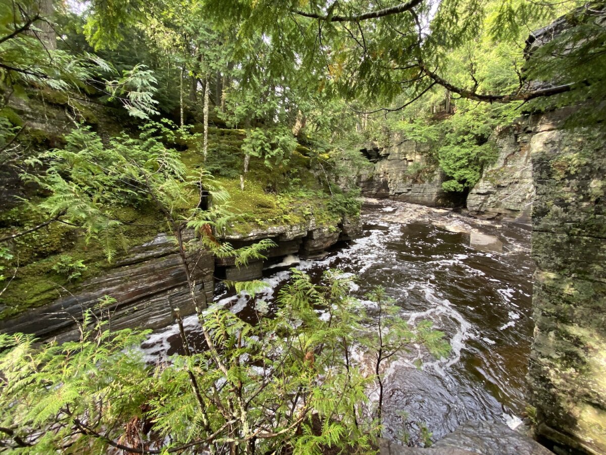
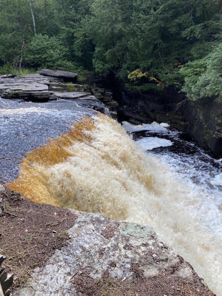
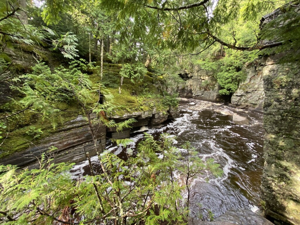
The reason we decided to stay at Baraga State park is that it was on our way to the Porcupine Mountains and it is close to the Canyon falls hike we wanted to do. The next morning we headed from Baraga to Canyon falls (only about a 15-minute drive). This hike is beautiful! You wouldn’t know it just by driving by. It is literally a roadside park. There are vault toilets and some tables for people to pull off the road for a break. But beyond that, you will start this hike along the river. It will take you to Canyon falls and then there will be a sign that says the path ends. But the hike isn’t over! The hike continues and gets way better as you follow the river into the actual canyon. Look for the blue markings on the trees and that will lead you up a hill where you can then continue the hike. You will follow the river as it flows through a small canyon and will see several smaller falls and beautiful spots along the way. We highly recommend this hike! 

Porcupine Mountains

After Canyon Falls we drove west to the Porcupine Mountains. Here we stayed at one of their more rustic camping spots. If you prefer you can camp at a site with showers and real bathrooms. We stayed at the white pine extension outpost. We had a vault toilet available near our site, no other bathroom facilities nearby. Our site had a picnic table and a fire pit. There are less than 10 sites in this outpost and all are fairly spread out.


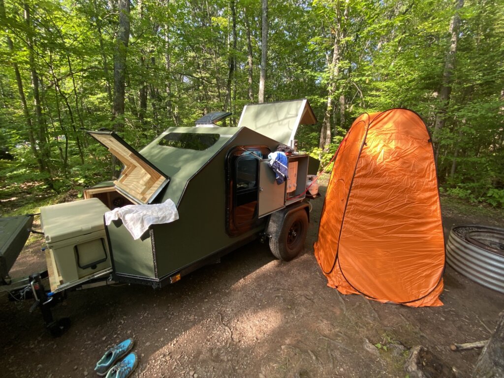
Our outpost camping site was very buggy so definitely bring bug spray, a mosquito net, or some kind of protection for when you are hanging out at camp. It was nice to switch it up and stay in a less crowded area of the park. We also got to test out our propane heated shower and pop up shower room- check out our post, linked above on lessons learned from this trip for more on the shower set up. 

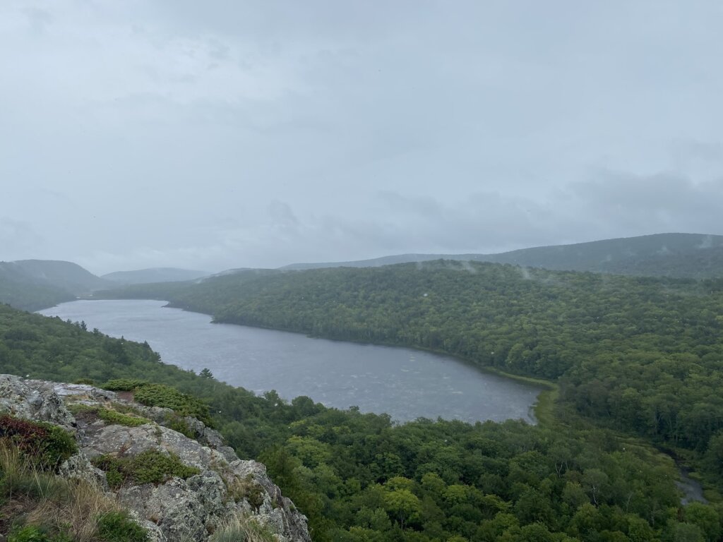
The day we arrived in the Porcupine Mountains it was beautiful and sunny but the next day it rained all day. The highlight of the park is definitely seeing Lake of the Clouds- so do that when you have a sunny day! We went on our second day in the park in the rain and wind. The views were still great but it would have been much more enjoyable had the weather cooperated. We also hiked along the Presque Isle River. That was a beautiful area that led out to a small rocky beach. There are a lot of hiking trails here but really that is the main attraction in the park. The rain did put a damper on our time here but unless you are an avid hiker who wants to do multiple long hikes all over the park, you can probably see the highlights in one day. Maybe a day and a half, one to two nights in the park would be ideal. 

The Bill Nichols Trail

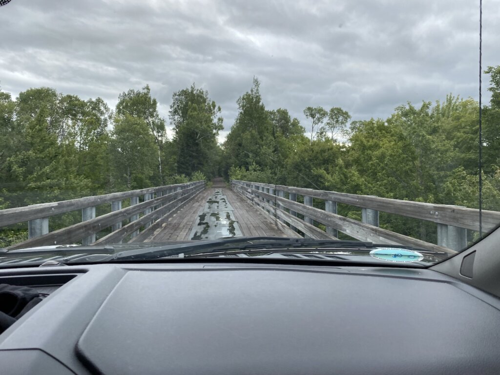
We left the Porcupine Mountains and drove up the Keweenaw peninsula in the morning. That got us to Copper Harbor around lunchtime. We took the Bill Nichols trail for part of the drive and then got back onto the main road. On the trail, you cross over several old railroad bridges. Just a side note, we have read that there are some old railroad spikes that have been known to puncture tires (we didn’t have issues). The portion of it that we drove was mostly like a dirt road, with no huge bumps or obstacles to get through. We had no trouble driving it with the trailer.

Looking back, we would have loved to spend more time in the Copper Harbor area! We stayed at Fort Wilkins State Park in the west end campground as the eastern side was closed this year. The park sits along Lake Fanny Hooe. We got a great sunset on the lake in the evening. Again the showers and facilities were very nice. The spaces are fairly close together here. We dropped our trailer off, made lunch, and headed out to explore the area. We had a few great stops that we would highly recommend! 


Brockway Mountain Drive

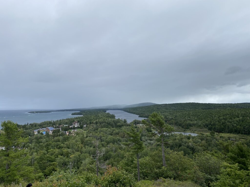
This drive is about 9 miles long. The views along the way are awesome! There are several pull-outs so that you can stop and take photos. We also saw a TON of mountain bikers. There are trails all over and of varying degrees of difficulty. We are not mountain bikers so cannot speak to that experience. What we can say is that it appears to be the thing to do here! 


Estivant Pines:

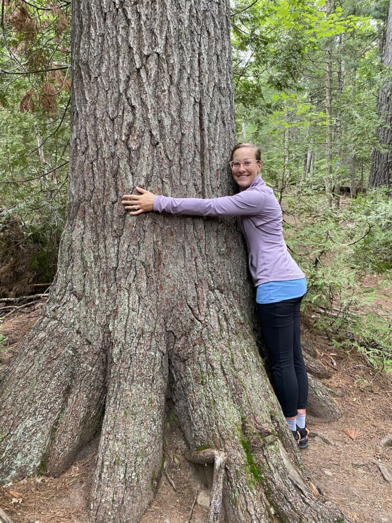
These pines are over 500 years old. There are a couple of short hiking trails you can take that loop around the park. It was a nice hike and some of the pines were very large. Worth it to stop if you have time but it wasn’t our favorite hike we took on this trip. 


Hunter’s Point Park South/North Beach Trail Hikes:

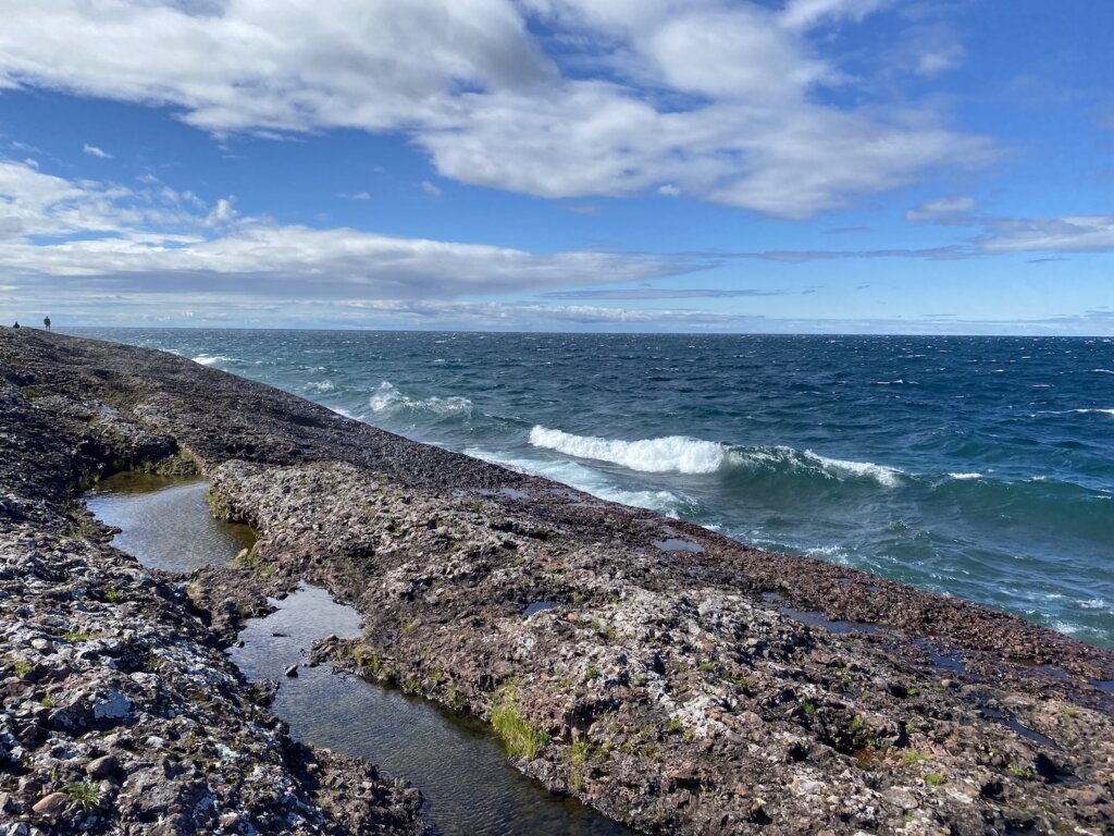
This hike was one of our favorites! We are certainly drawn to the water and this hike is along the lakeshore so that is our own personal bias! This is a short hike out the point where this small strip of land ends, forming the calmer waters of the harbor. It was a very windy, wavy day when we visited. It was amazing to see how much of a difference this small area of land makes in calming the waves and protecting the boats in the harbor. The north trail follows lake superior and the south trail follows the calmer side of the water in the harbor.


Off-road driving/hiking to HorseShoe Harbor:

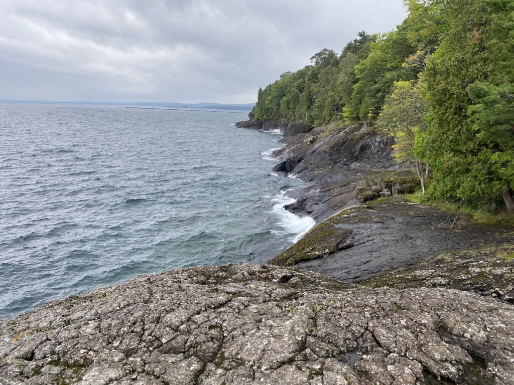
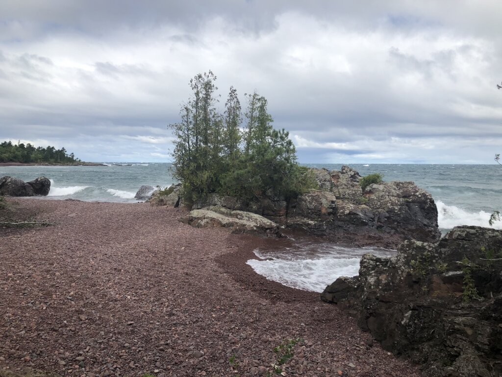
Another one of our favorite spots in Copper Harbor. Just shortly past Fort Wilkins State Park, the pavement ends. You then end up on a seasonal, dirt road that gets narrower, becoming more of a two-track as you drive back. We turned left about a mile after the pavement ended. About another mile or two into the drive there is a small parking lot and you can park and walk out to the beach. The hike to the beach is very short and worth it for sure! There is a very large beach area. Along one end there are very large rocks that come out into the water. They are not easy to climb up but if you can get up on top of the rocks definitely do! It was a very windy, wavey day when we were there so we really enjoyed watching the waves crash from the top of these rocks! We did follow the road/two-track past the beach walk parking lot but it quickly became much narrower and difficult to drive. We ended up having to back up and turn around because we came to a pretty steep and uneven hill that we weren’t sure our truck could manage. If you have a real off-road vehicle this would be a great place to explore!


We had only one day in Copper Harbor before we had to start our long drive back home! We did alot in our day but as we said this was an area we would have loved to have more time to explore!  


Tell us your favorite UP destinations, what did we miss? Where should we go next time?